ZCZC MIATWOAT ALL
TTAA00 KNHC DDHHMM
Tropical Weather Outlook
NWS National Hurricane Center Miami FL
200 AM EDT Tue Jun 6 2023
For the North Atlantic...Caribbean Sea and the Gulf of Mexico:
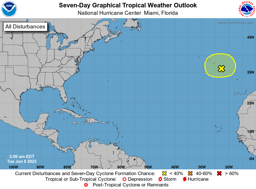
1. Northeastern Atlantic Ocean:
A complex, non-tropical area of low pressure located between the
Azores and Canary Islands is producing disorganized showers and
thunderstorms with winds to gale force over the northeastern
Atlantic Ocean. This system could acquire some subtropical
characteristics during the next day or two while it meanders to the
southeast and east of the Azores. By Thursday, the system is
forecast to move northeastward over cooler waters and further
development is not expected. For additional information on this
system, see products issued by the State Meteorological Agency of
Spain and High Seas Forecasts issued by Meteo France.
* Formation chance through 48 hours...low...10 percent.
* Formation chance through 7 days...low...10 percent.
High Seas Forecasts issued by Meteo France under WMO header FQNT50
LFPW and available on the web at
www.meteofrance.com/previsions-meteo-marine/bulletin/grandlarge/
metarea2. Products issued by State Meteorological Agency of Spain
are available on the web at
https://www.aemet.es/en/eltiempo/prediccion/avisos
Forecaster Pasch