ZCZC MIATWOAT ALL
TTAA00 KNHC DDHHMM
Tropical Weather Outlook
NWS National Hurricane Center Miami FL
800 AM EDT Sun May 28 2023
For the North Atlantic...Caribbean Sea and the Gulf of Mexico:
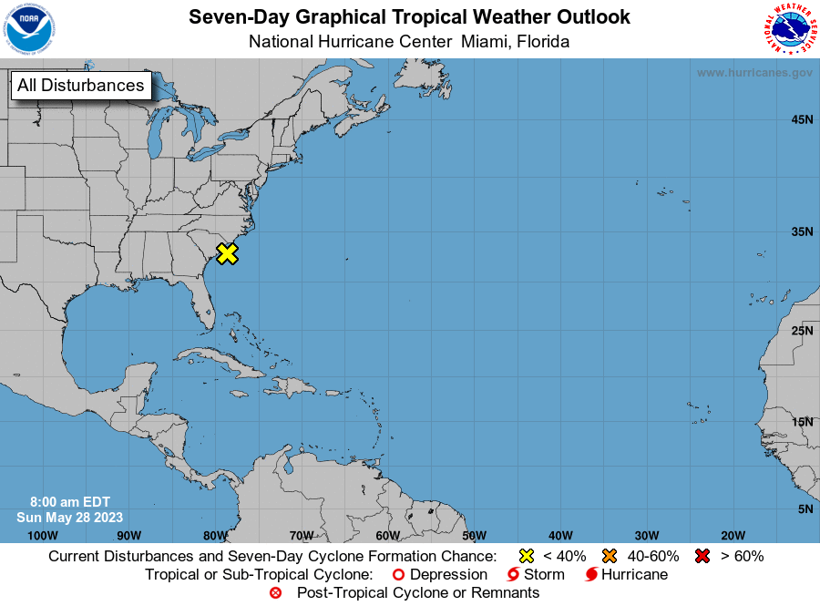
1. Southwestern Atlantic:
A non-tropical low pressure system located about 60 miles
east of Charleston, South Carolina, has weakened overnight. This
low is expected to remain non-tropical while it moves generally
northward and inland over the Carolinas today. Even though
development into a subtropical or tropical cyclone is not expected,
the system will continue to produce dangerous surf and rip current
conditions along portions of the southeastern United States coast
today. Locally heavy rainfall is also possible in portions of the
Carolinas and Virginia during the next day or so.
* Formation chance through 48 hours...low...near 0 percent.
* Formation chance through 7 days...low...near 0 percent.
Forecaster Blake