ZCZC MIATWOAT ALL
TTAA00 KNHC DDHHMM
Tropical Weather Outlook
NWS National Hurricane Center Miami FL
200 PM EDT Mon May 22 2023
For the North Atlantic...Caribbean Sea and the Gulf of Mexico:
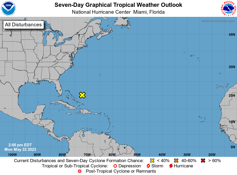
1. Southwestern Atlantic:
Disorganized showers and a few thunderstorms associated with a broad
area of low pressure located a couple of hundred miles northeast of
the central Bahamas have decreased since yesterday. Environmental
conditions have become more hostile and development of this system
is not expected while it moves north-northeastward at 5 to 10 mph
over the southwestern Atlantic during the next day or so.
* Formation chance through 48 hours...low...near 0 percent.
* Formation chance through 7 days...low...near 0 percent.
Forecaster Brown/Bucci