ZCZC MIATWOEP ALL
TTAA00 KNHC DDHHMM

Tropical Weather Outlook
NWS National Hurricane Center Miami FL
1100 AM PDT Fri Sep 15 2023

For the eastern North Pacific...east of 140 degrees west longitude:

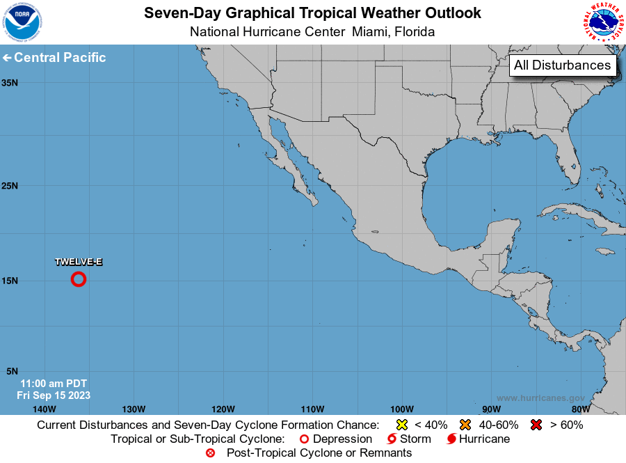
1. Western East Pacific (EP94):
Showers and thunderstorms have increased and become better organized
on the east side of an area of low pressure located about 1300 miles
east-southeast of the Hawaiian Islands. If these trends continue, a
short-lived tropical depression will likely form later today while
it moves generally west-northwestward at about 10 mph. Environmental
conditions are expected to become unfavorable over the weekend,
ending the system's chances for additional development.
* Formation chance through 48 hours...high...90 percent.
* Formation chance through 7 days...high...90 percent.

Forecaster Cangialosi/Bucci





 NHC on Facebook
 Twitter
 YouTube
 NHC Blog: