ZCZC HFOTWOCP ALL
TTAA00 PHFO DDHHMM

Tropical Weather Outlook
NWS Central Pacific Hurricane Center Honolulu HI
200 PM HST Mon Sep 11 2023

For the central North Pacific...between 140W and 180W:

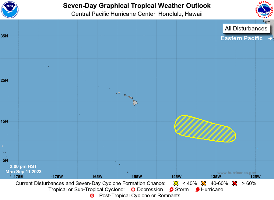
1. Western East Pacific:
An area of low pressure could form well to the southwest of the
southern tip of the Baja California peninsula in a few days.  Some
gradual development of this system is possible thereafter while it
moves generally west-northwestward, and the system may move into
the central Pacific basin during the weekend.
* Formation chance through 48 hours...low...near 0 percent.
* Formation chance through 7 days...low...20 percent.

Elsewhere, no tropical cyclones are expected during the next 7 days.

Forecaster Wroe





 NHC on Facebook
 Twitter
 YouTube
 NHC Blog: