ZCZC MIATWOAT ALL
TTAA00 KNHC DDHHMM
Tropical Weather Outlook
NWS National Hurricane Center Miami FL
200 PM EDT Wed May 24 2023
For the North Atlantic...Caribbean Sea and the Gulf of Mexico:
Southwestern Atlantic:
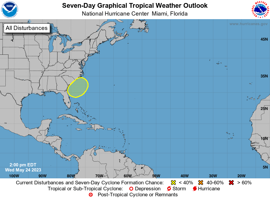
1. A non-tropical area of low pressure is expected to form along a
front offshore of the southeastern United States coast during the
next day or two. The system appears unlikely to become a subtropical
or tropical cyclone since it is forecast to remain frontal while
moving generally northward and inland over the Carolinas this
weekend.
1. Regardless, the system is likely to produce gusty winds and
dangerous surf and rip current conditions along portions of the
southeastern United States coast late this week and into the
weekend. Heavy rainfall is expected in portions of the Carolinas,
and hazardous marine conditions are expected over the coastal and
offshore waters where gale watches and warnings are in effect. For
more information, see products from your local National Weather
Service office and high seas forecasts issued by the National
Weather Service.
* Formation chance through 48 hours...low...near 0 percent.
* Formation chance through 7 days...low...10 percent.
High Seas Forecasts issued by the National Weather Service
can be found under AWIPS header NFDHSFAT1, WMO header FZNT01
KWBC, and online at ocean.weather.gov/shtml/NFDHSFAT1.php
Forecaster Reinhart