NHC Marine Forecasts & Analyses
|
Text forecasts
For a quick reference to many of the products listed below, you may download our trifold brochure. (También está disponible en español.)
Gridded Marine Products
| Atlantic | Eastern Pacific | |
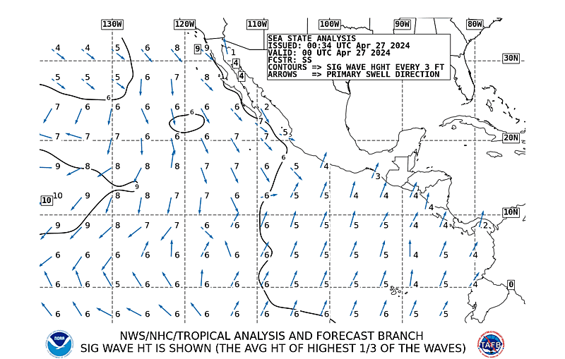
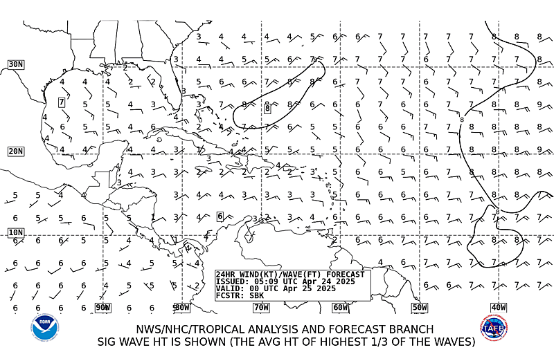
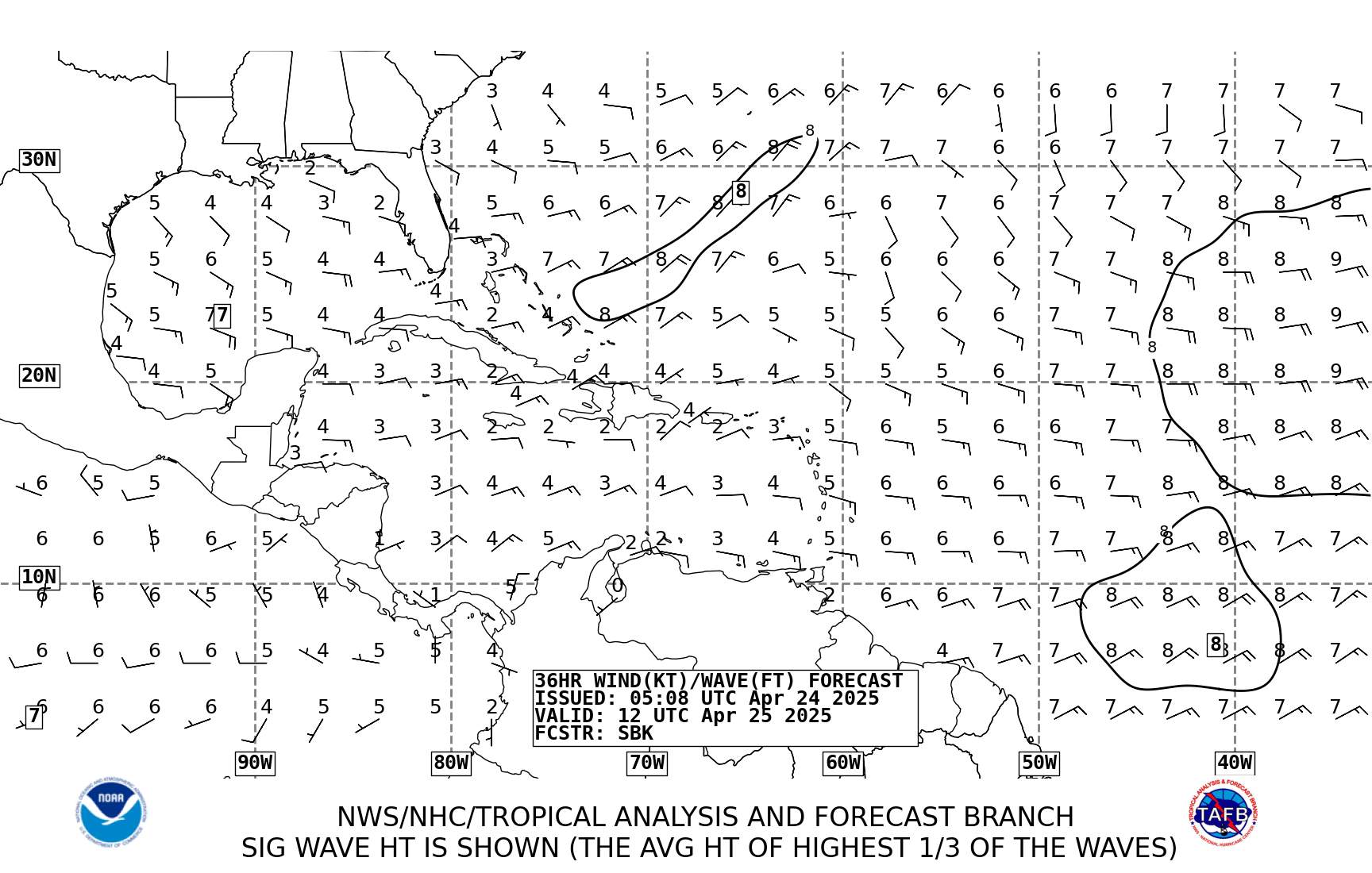
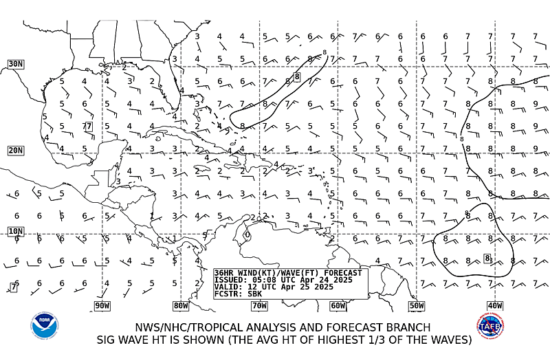
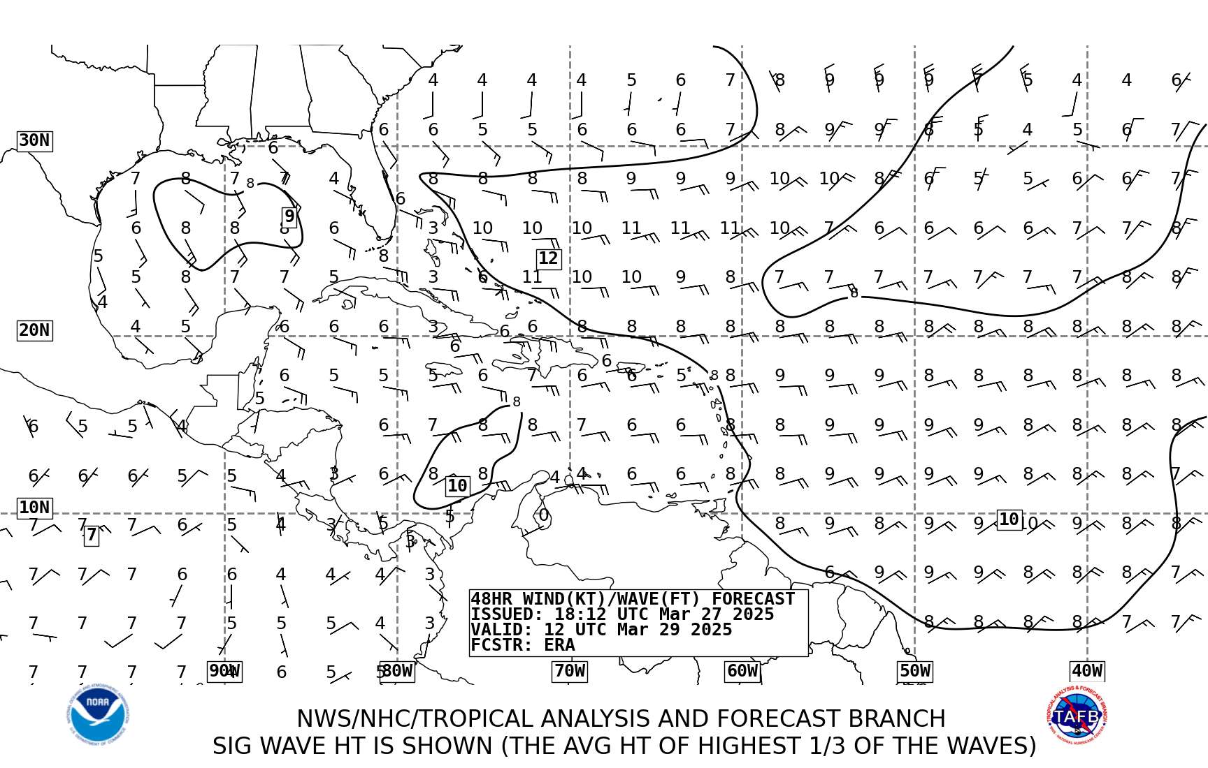
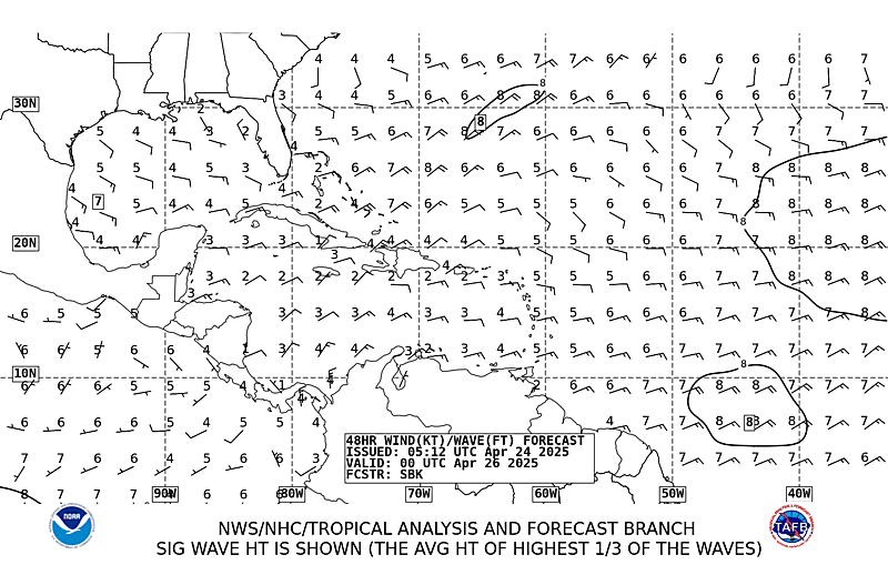
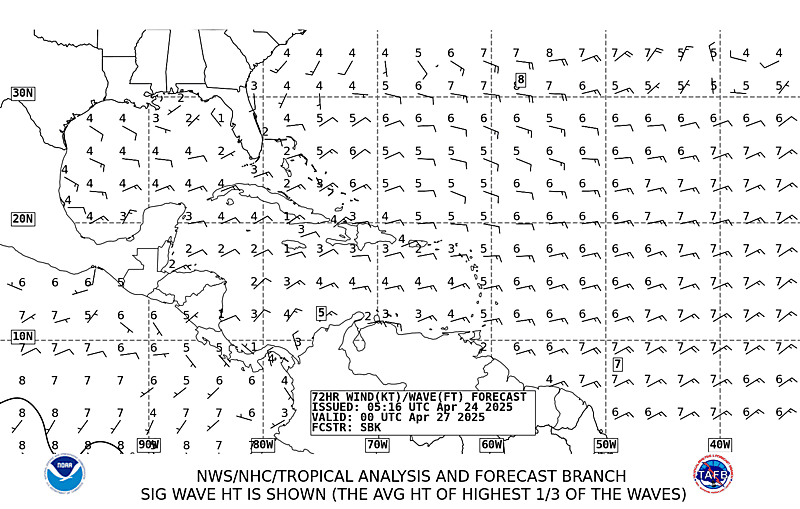
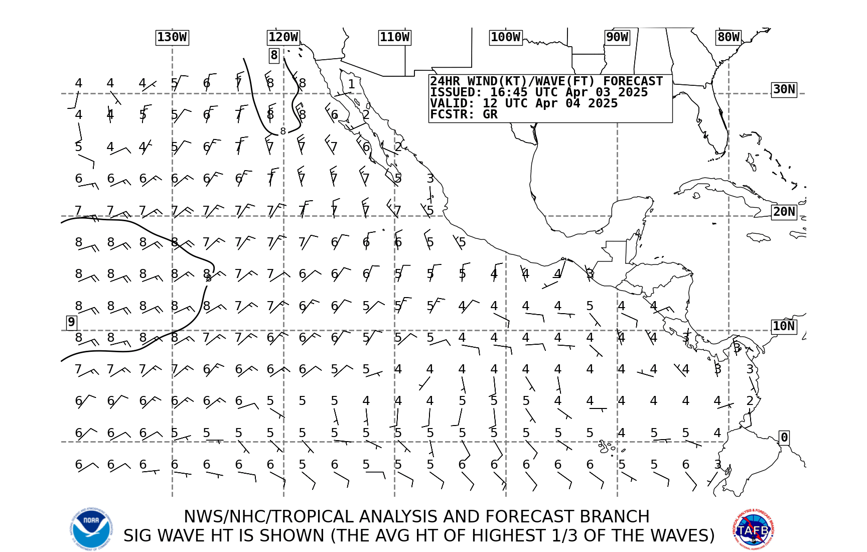
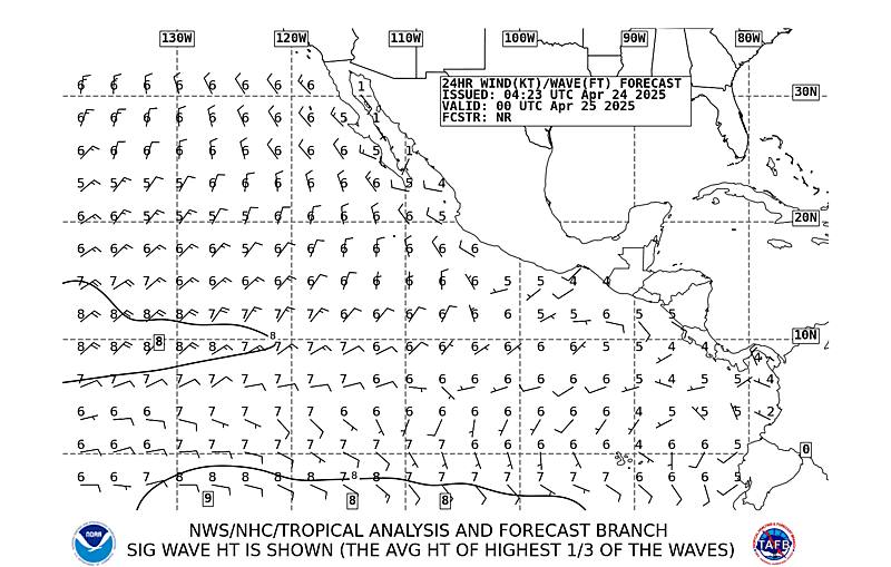
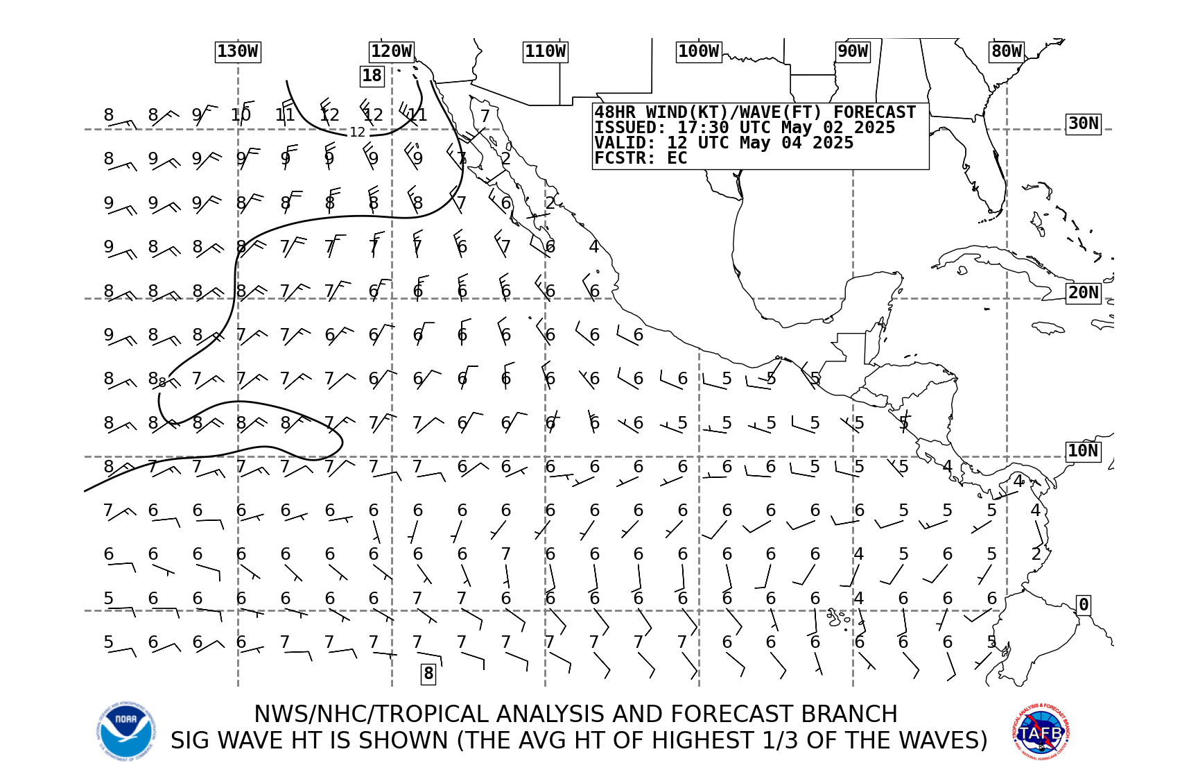
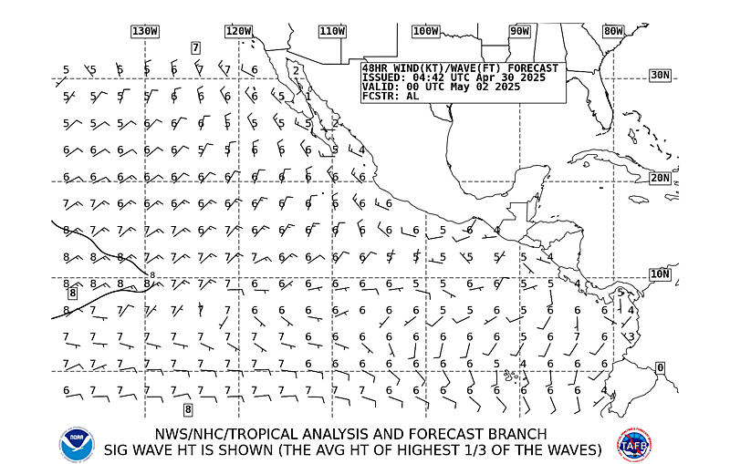
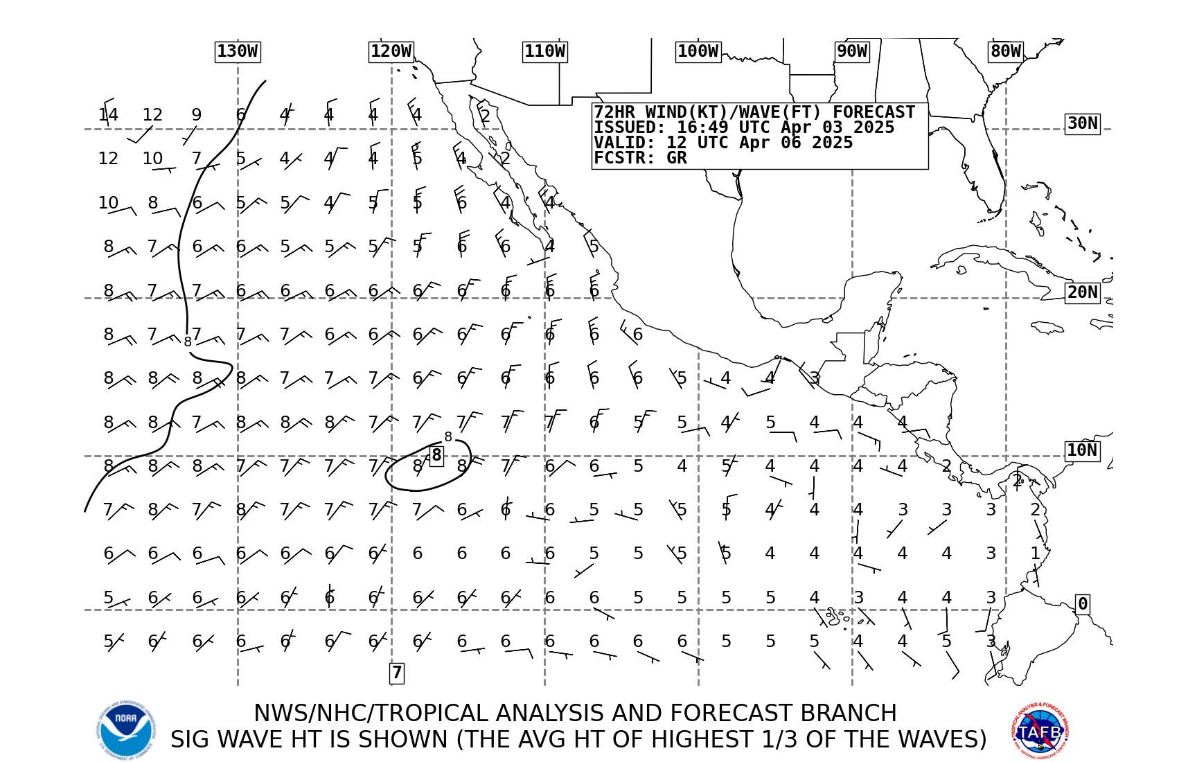
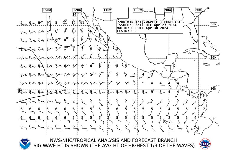
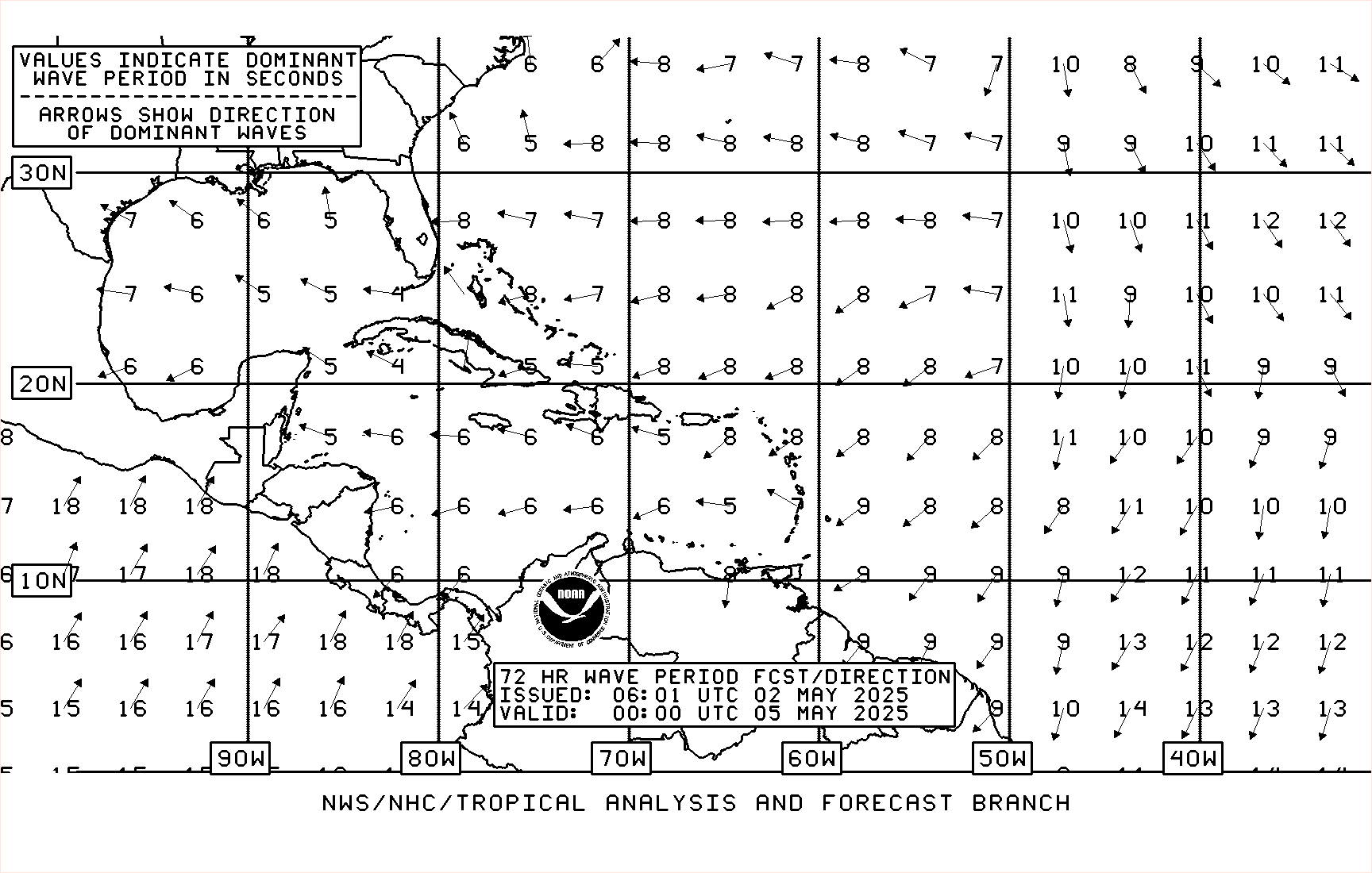
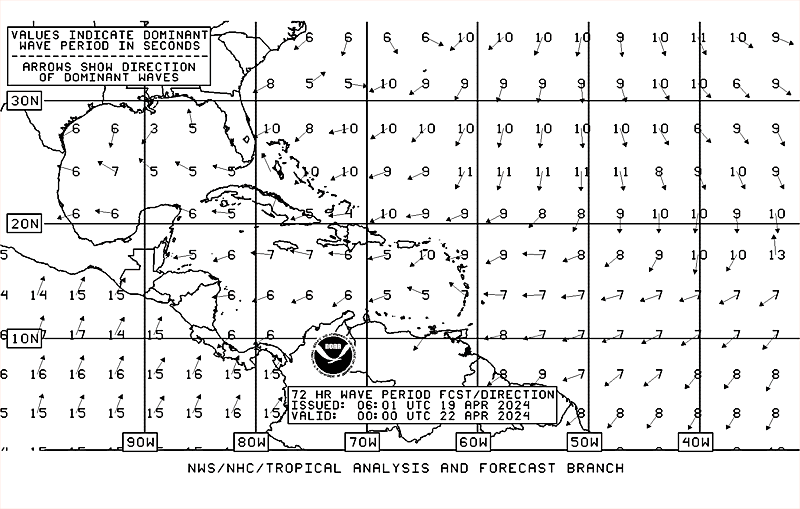
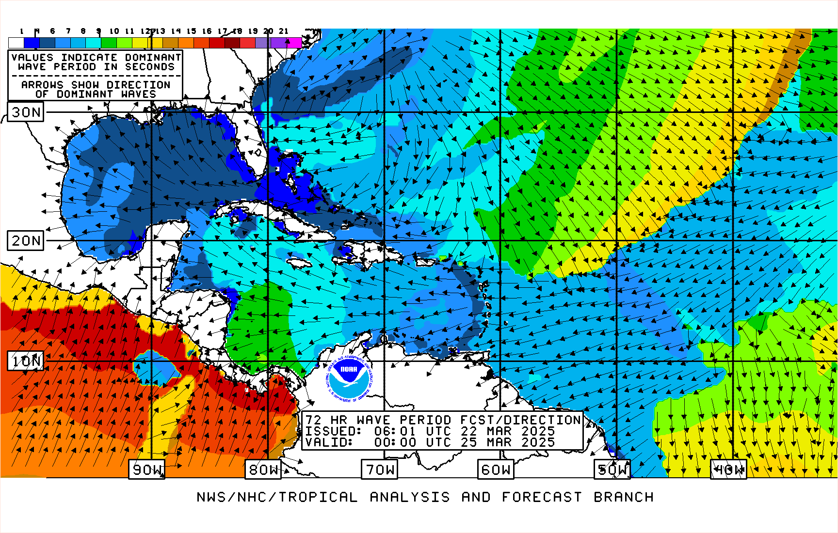
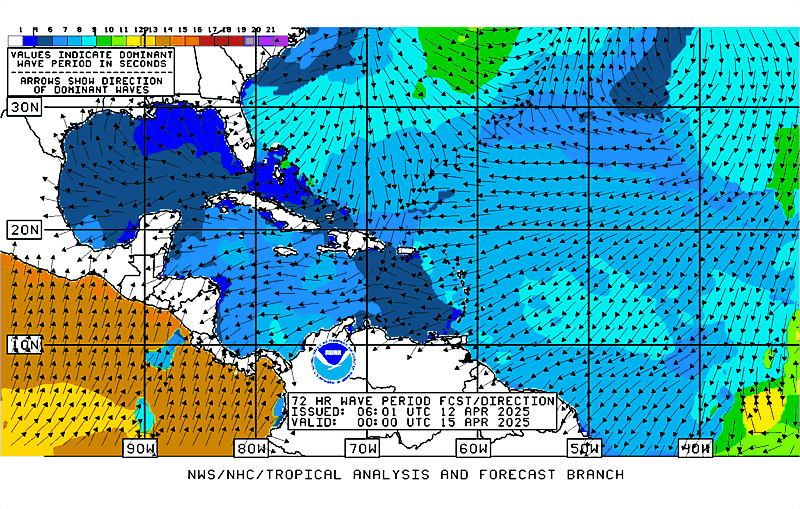
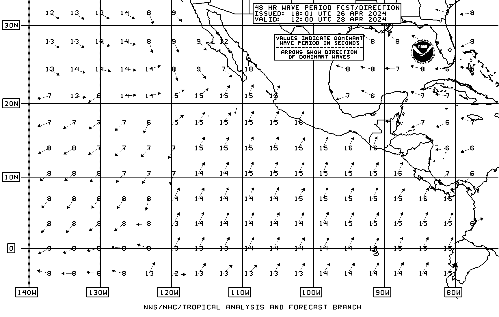
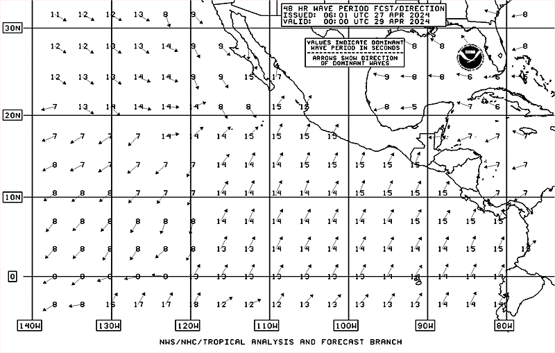
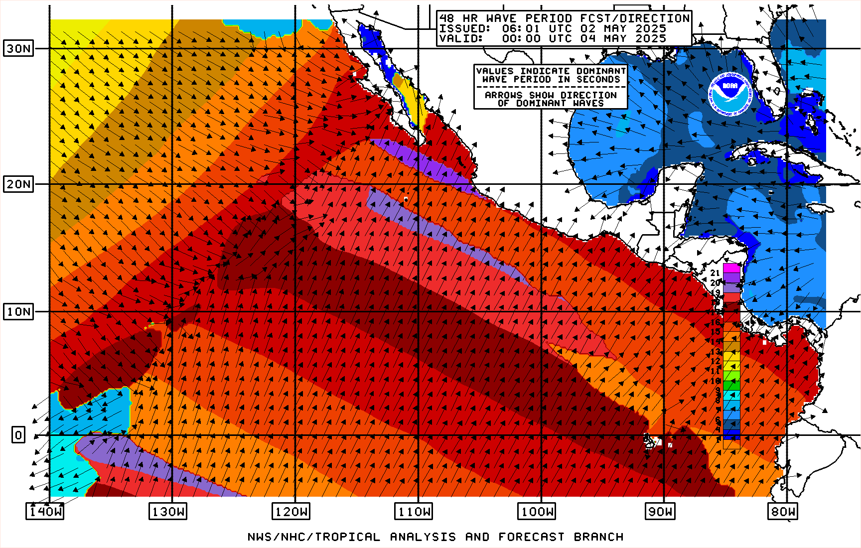
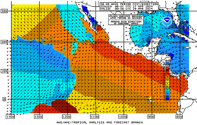
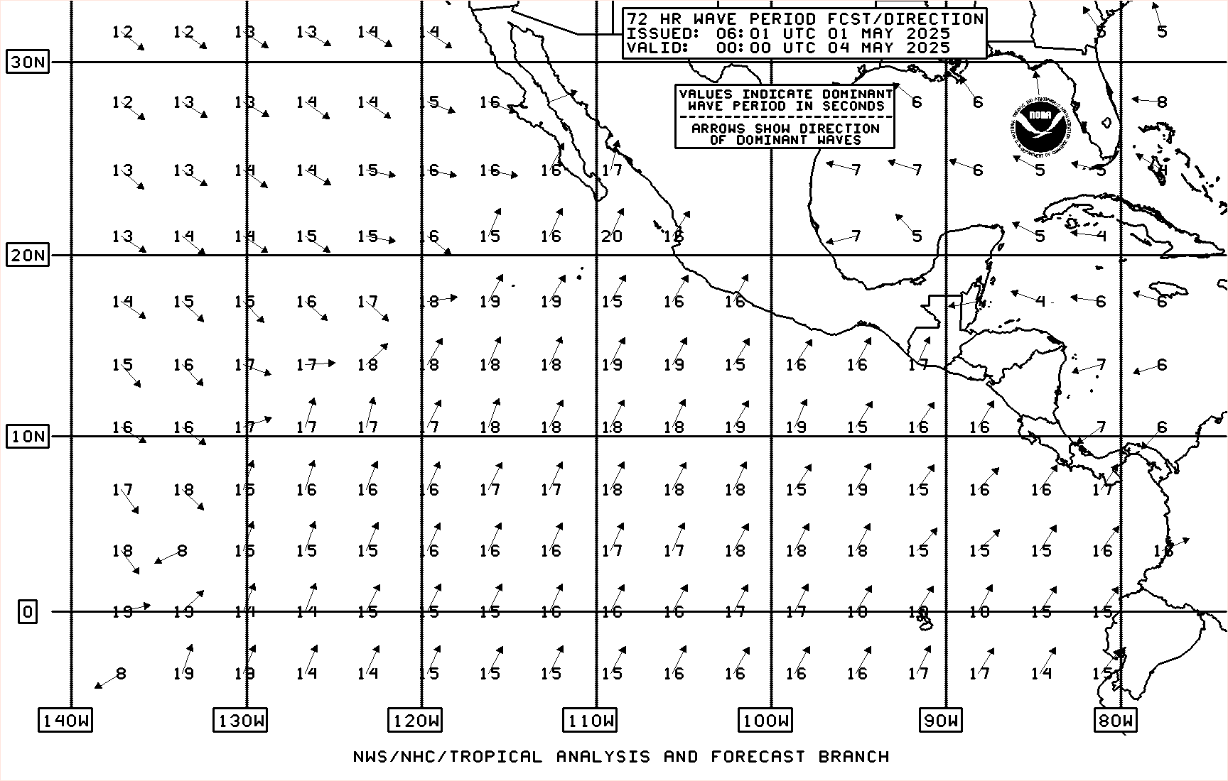
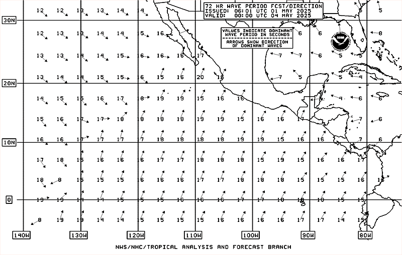
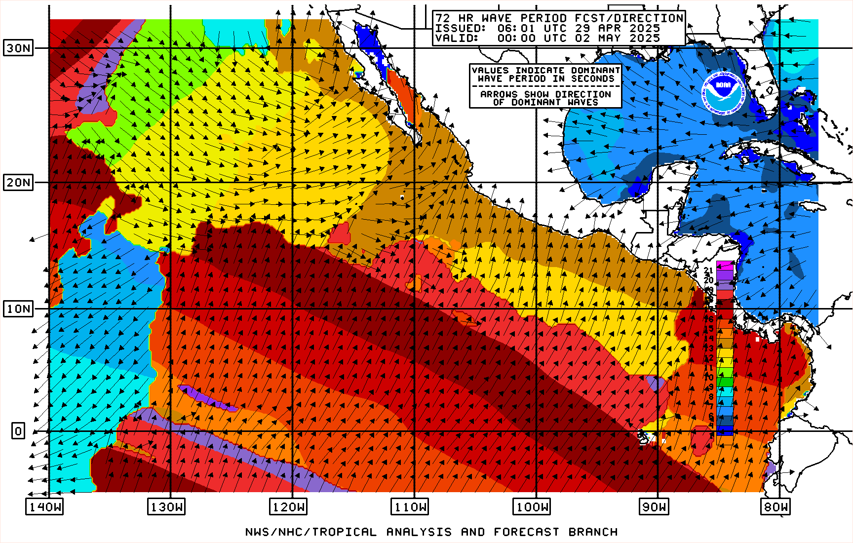
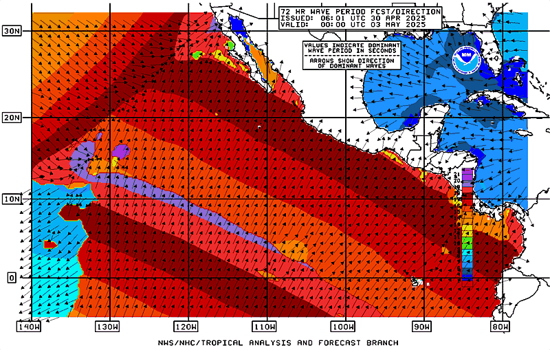
| Surface (10-m) Winds Surface (10-m) Wind Gusts Significant Wave Heights Marine Hazards description |
 NHC Display (for low-bandwidth users) 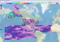 Access NDFD Grids |
|
| Event-Driven Marine Spot Forecasts description |
NWS Spot Forecast Page | |
Text Products (Archive)
| Atlantic | Eastern Pacific | |
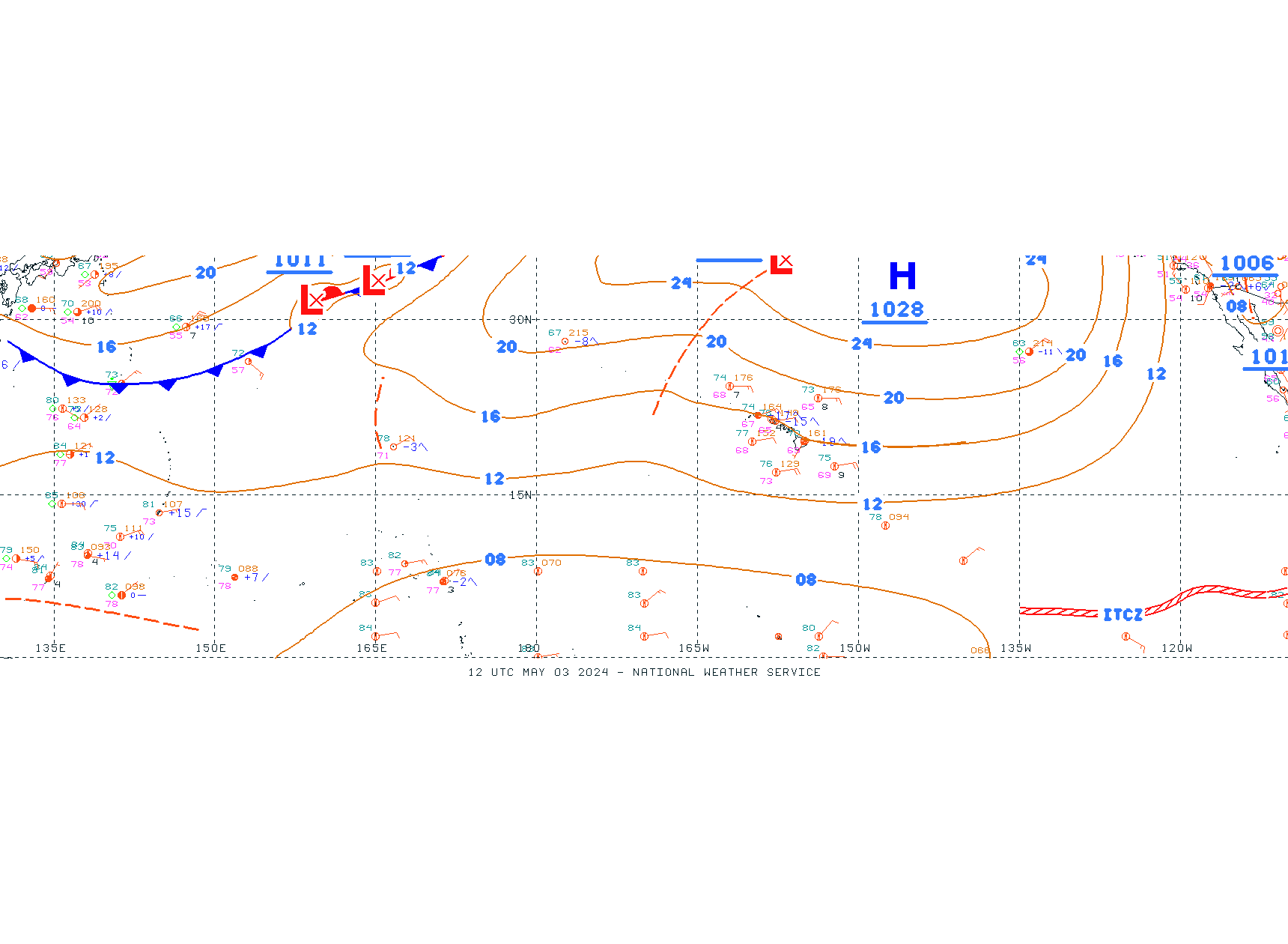
| Tropical Weather Discussion description | pdf |
Atlantic | Eastern Pacific |
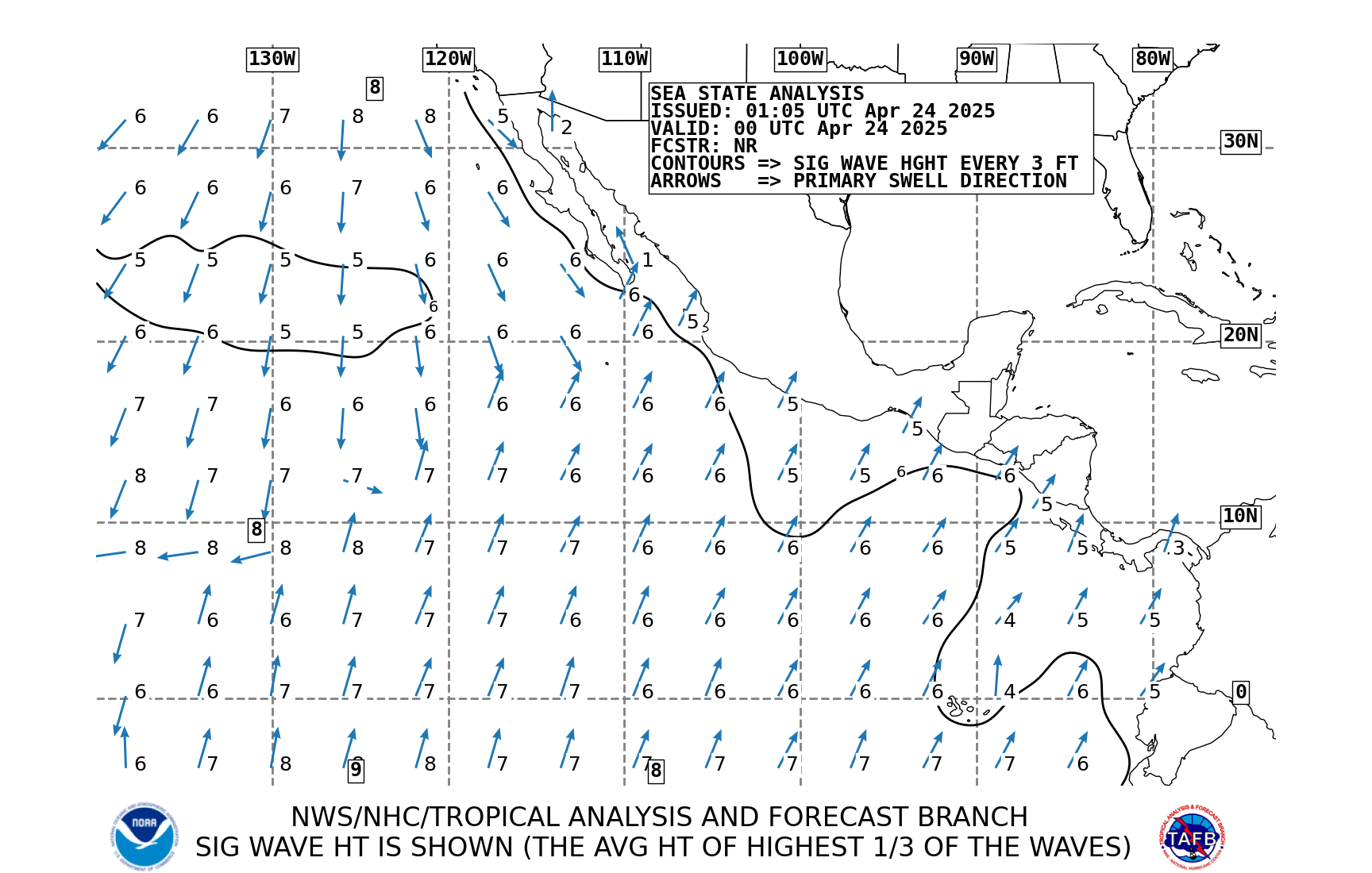
| High Seas Forecast description | pdf |
Atlantic | NE Pacific |
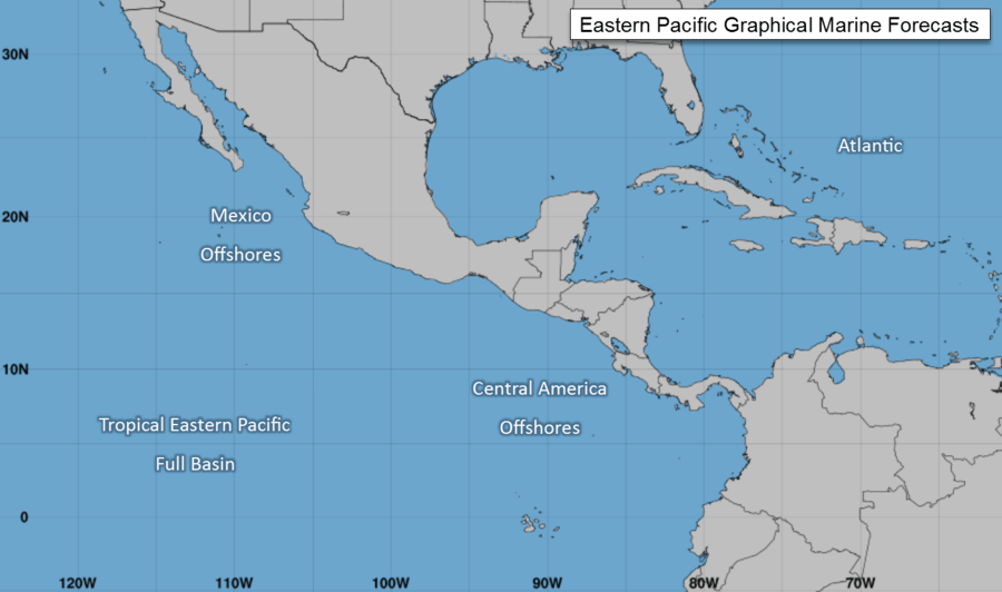
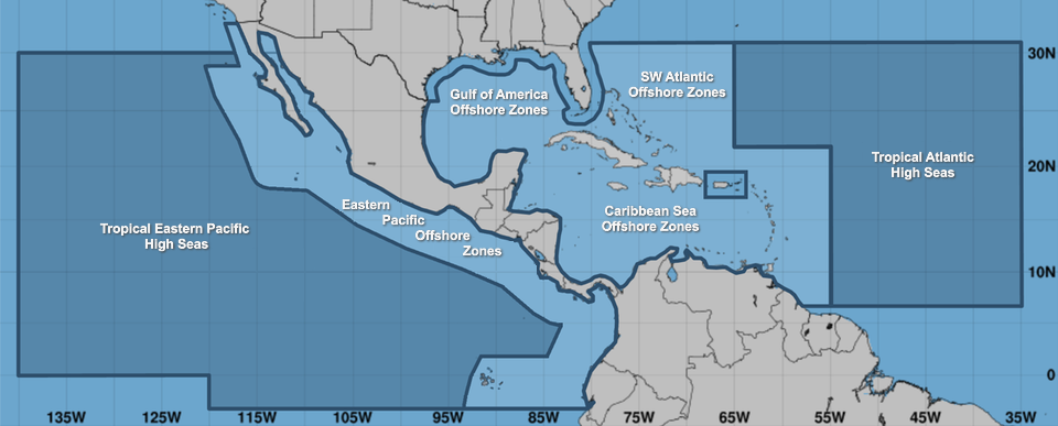
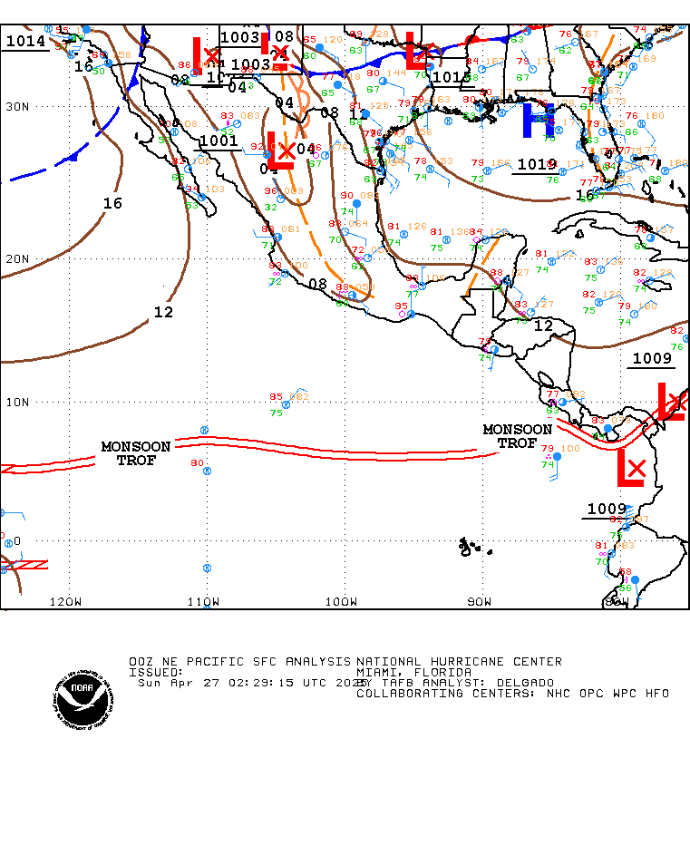
| Offshore Waters Forecasts Atlantic: description | pdf Eastern Pacific: description (pdf) |
Interactive Zones Map Caribbean/Tropical N Atlantic west of 55W Gulf of Mexico N Atlantic from 19N to 31N west of 55W |
Interactive Zones Map Mexico Central America/Colombia/Ecuador |
| NAVTEX Marine Forecasts description | pdf |
New Orleans, LA transmitter Miami, FL transmitter San Juan, PR transmitter |
– |
| High Frequency (HF) Voice Broadcasts - VOBRA description | pdf |
Caribbean/SW North Atlantic Gulf of Mexico |
– |
| Pan-American Temperature & Precipitation description | pdf |
Selected Pan American Locations | |
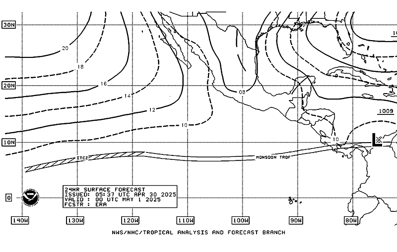
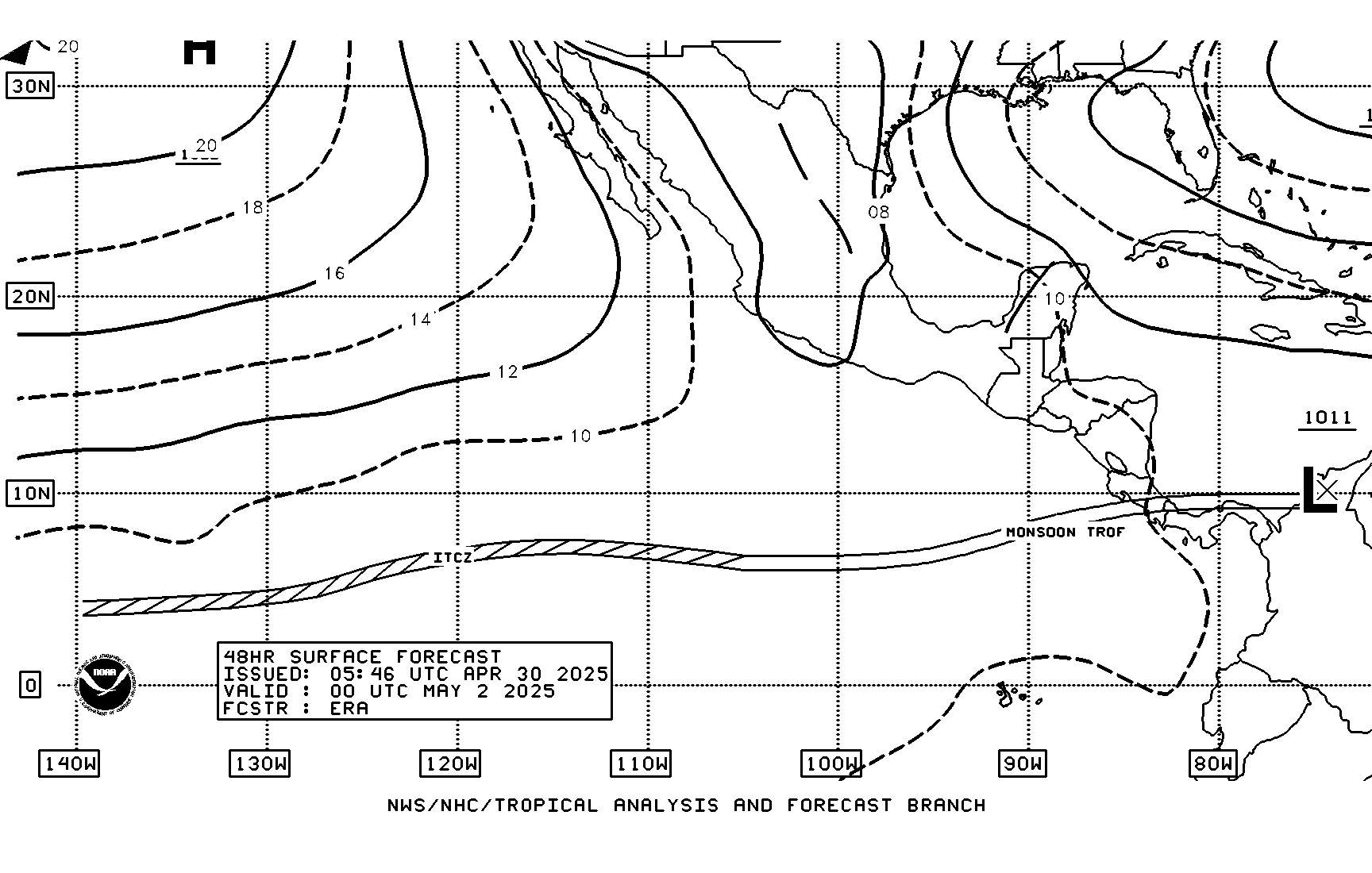
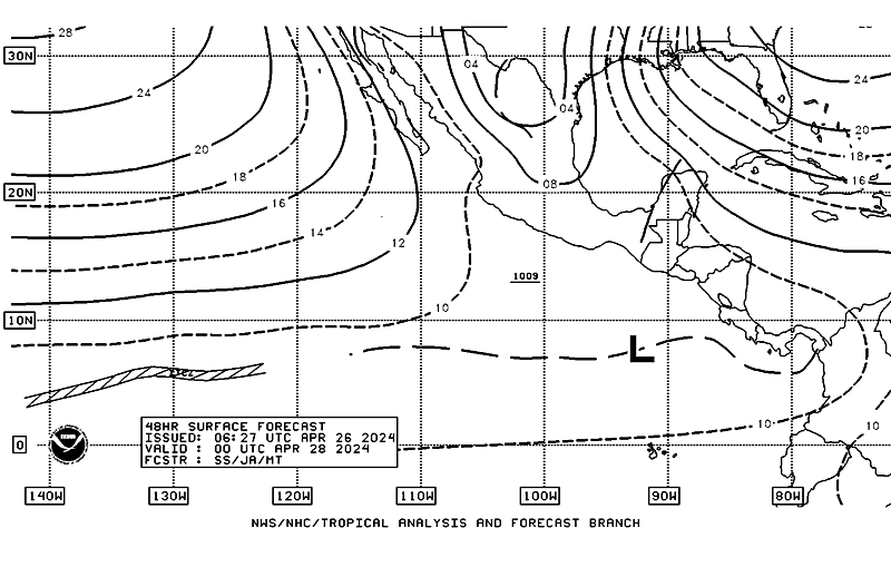
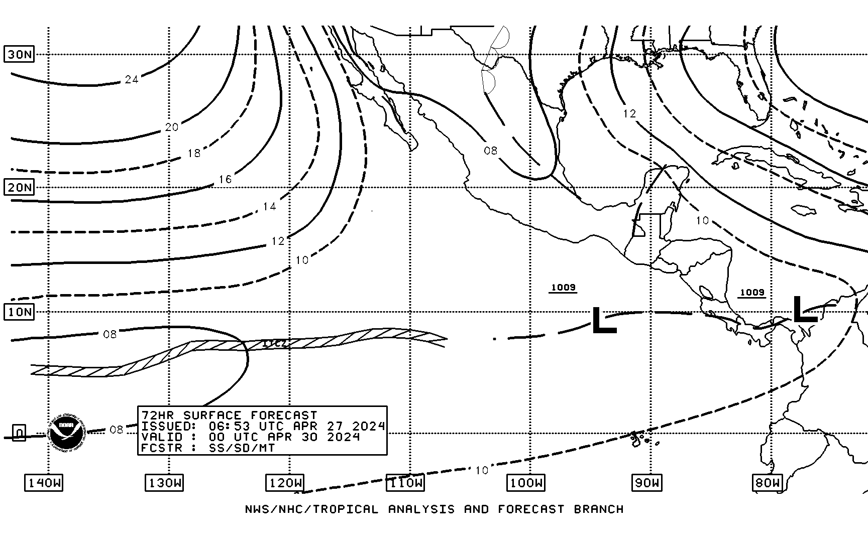
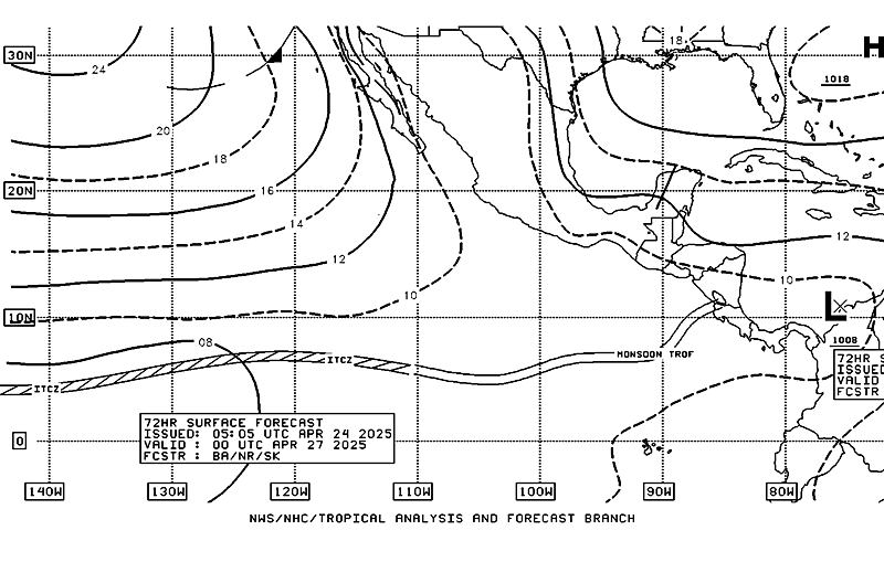
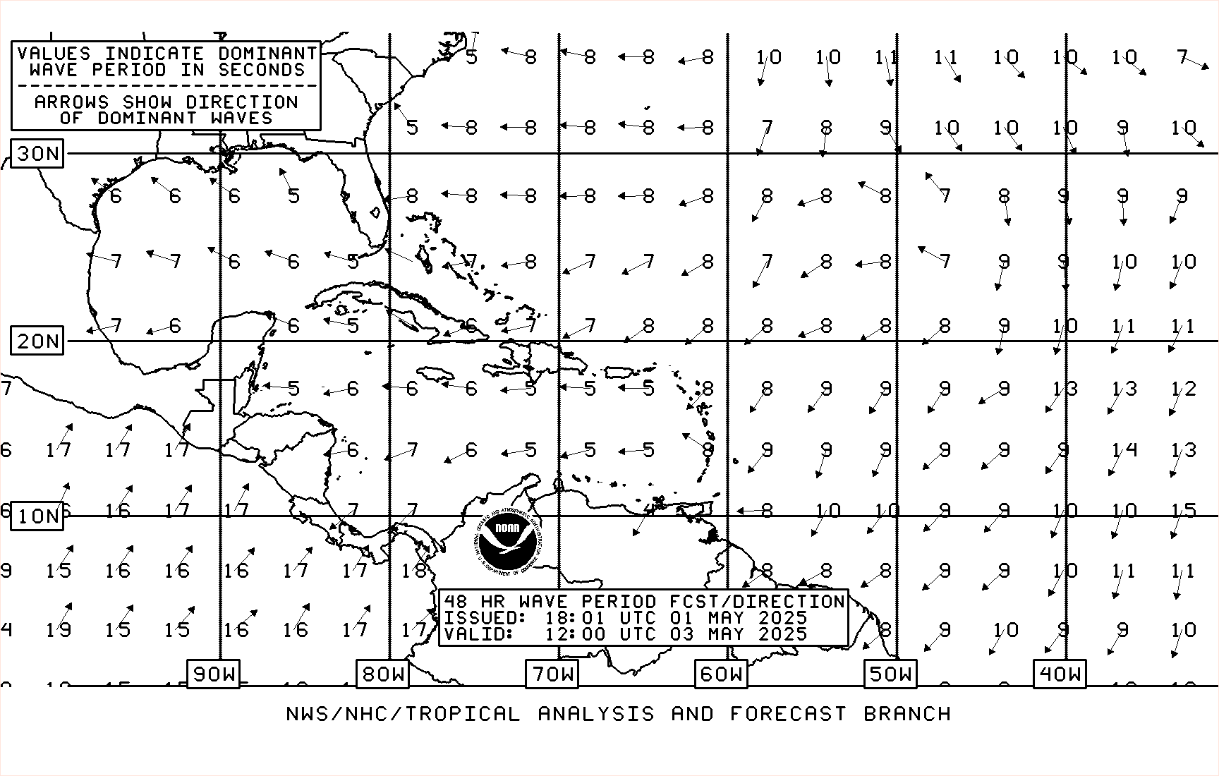
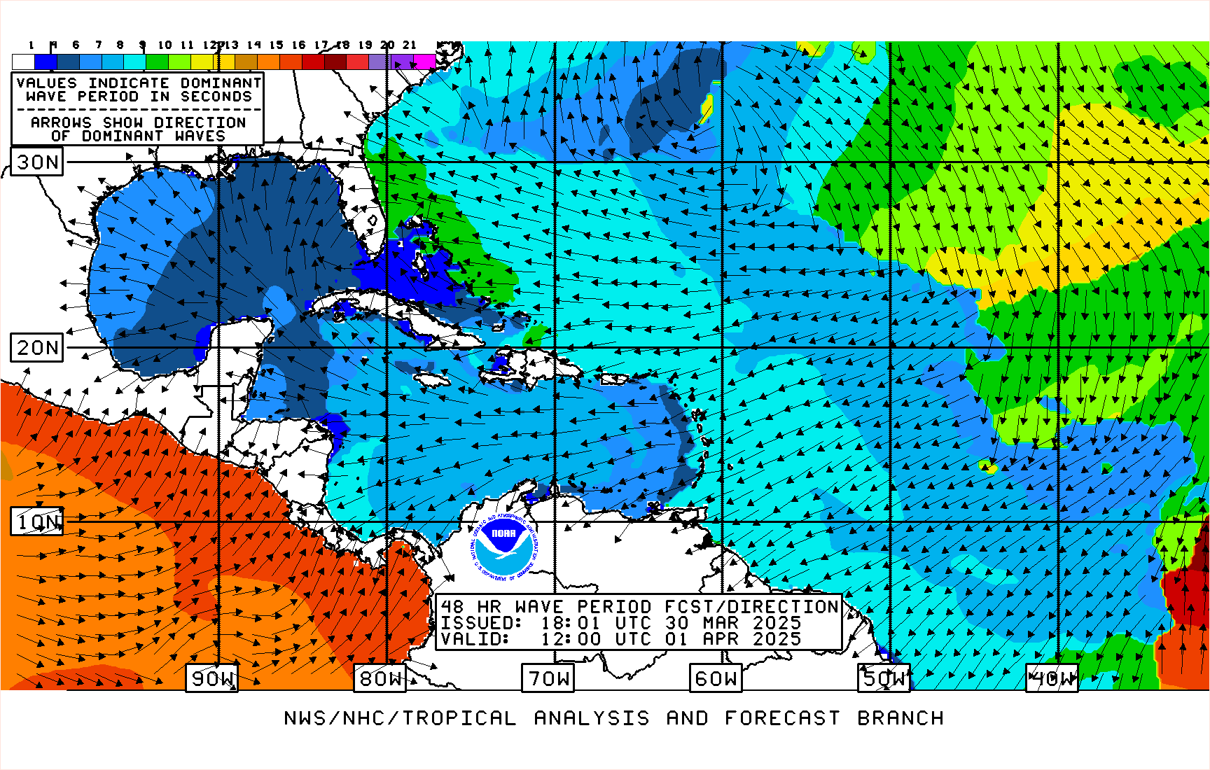
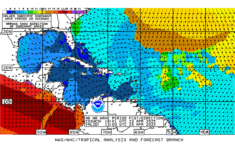
Graphical Products*
NOTICE - Unified Surface Analysis Changes:
Monsoon Trough - Effective 1 June 2011
Tropical Cyclone Boxes - Effective 15 July 2013

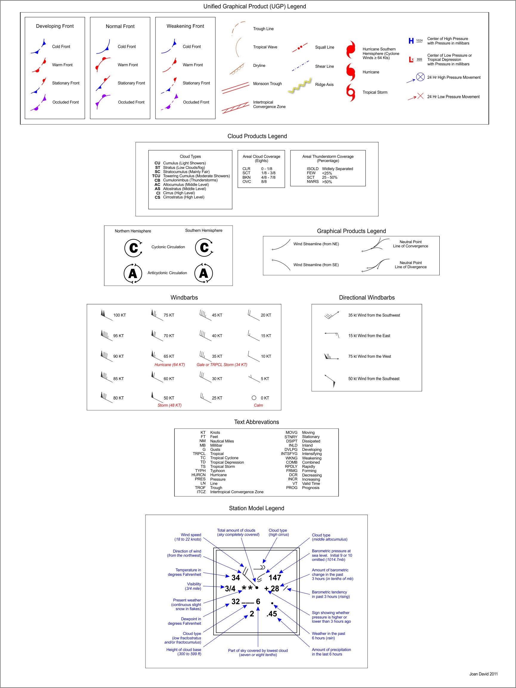
*View the Graphical Products Legend