PMZ101-220945-
Synopsis for the E Pacific within 250 nm of Central America,
Colombia, and within 750 nm of Ecuador
231 PM PDT Tue Jul 21 2026
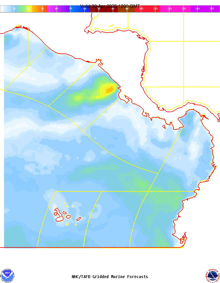
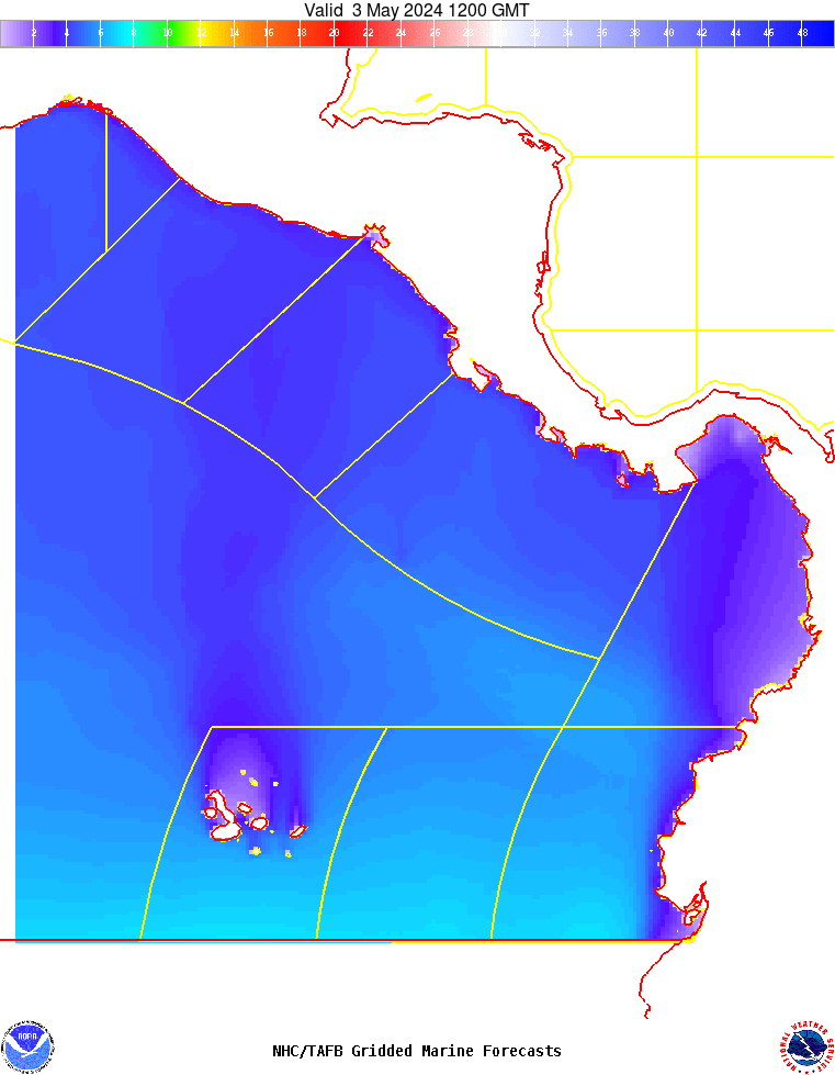
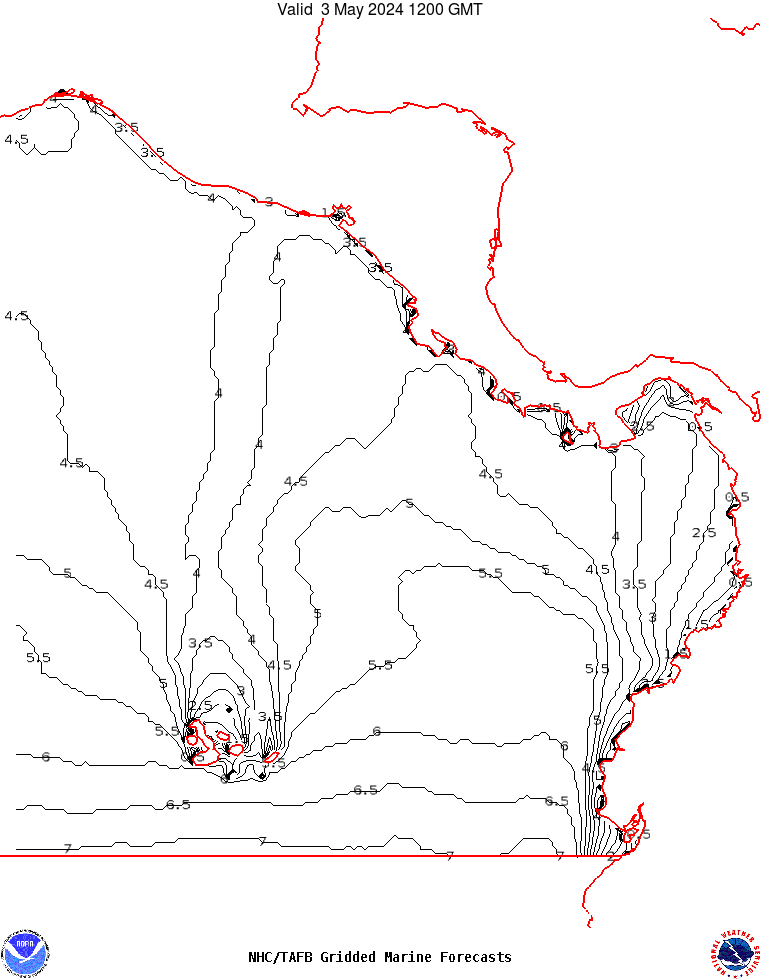
.SYNOPSIS...Fresh to strong NE to E winds and moderate to rough
seas will persist across the Papagayo region through Wed night,
with moderate to fresh NE winds pulsing near the Gulf of Fonseca.
Gentle to moderate N winds are expected in the Gulf of Panama
with slight to moderate seas. Moderate or weaker winds and
moderate seas in SW swell are expected elsewhere, except in the
immediate lee of the Galapagos Islands and nearshore western
Colombia where slight seas are forecast.