| HOME | ARCHIVES | FORECASTS | IMAGERY | ABOUT NHC | RECONNAISSANCE |

Marine Graphical Composite Forecast Map for Central America E Pacific Offshore Waters (Text)


Standard version of this page

Click here to return to the main marine page

Step Between Times
map n/amap n/amap n/amap n/amap n/amap n/amap n/amap n/amap n/amap n/amap n/amap n/amap n/amap n/amap n/amap n/a

https://www.hurricanes.gov/marine/forecast
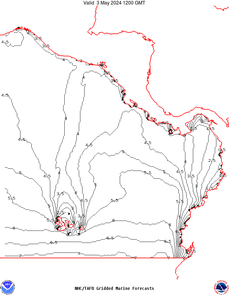
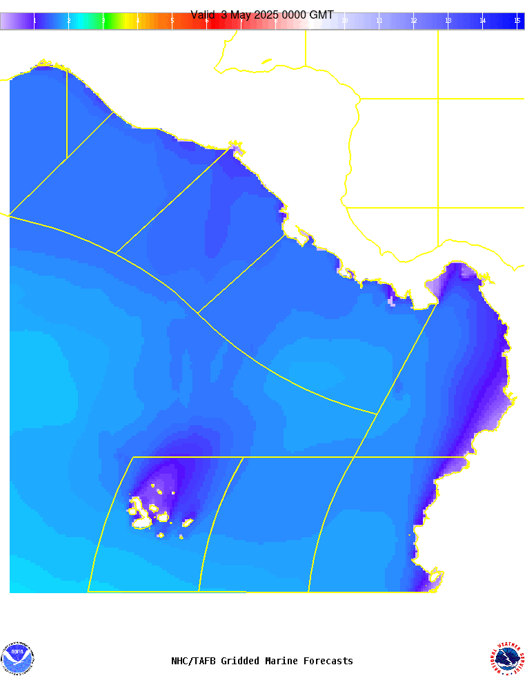
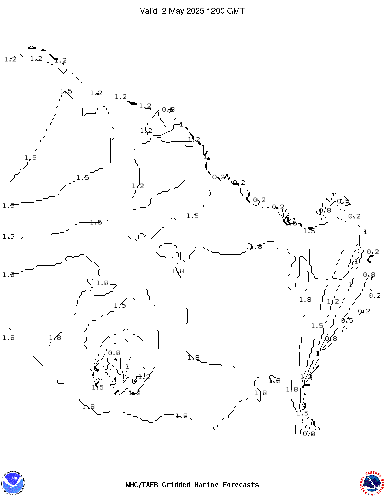
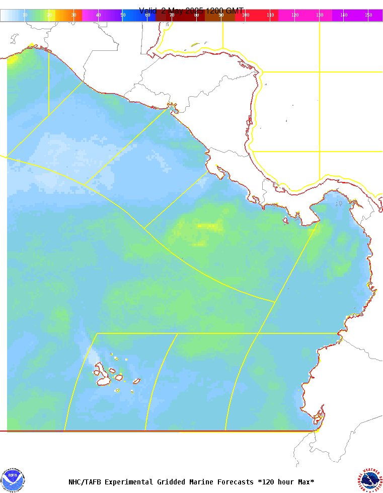
PMZ101-181600-
Synopsis for the E Pacific within 250 nm of Central America,
Colombia, and within 750 nm of Ecuador
859 PM PDT Thu Apr 17 2025

.SYNOPSIS...Strong E to NE winds will pulse in the Gulf of 
Papagayo through this weekend as a strong pressure gradient 
prevails between the Colombian low and ridging over the eastern 
Gulf of America and western Atlantic. Winds may reach near-gale 
force at times tonight and again Fri night, and locally rough 
seas in E swell will accompany these winds. Winds are expected to
diminish slightly early next week. Elsewhere, pulsing fresh to 
locally strong N winds will occur each night and morning in the 
Gulf of Panama through Sat. Looking ahead, a new long-period S to
SW swell will propagate through the regional waters early next 
week. The Santa Maria Volcano located in southwestern Guatemala 
near 14.8N91.6W is presently undergoing continuous volcanic ash 
emissions. Reduced visibility is possible near the coast of 
Guatemala. Mariners are encouraged to be aware of the latest 
updates on the status of this volcano.