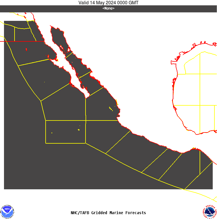
PMZ001-141515-
Synopsis for the E Pacific within 250 nm of Mexico
802 PM PDT Mon Jul 13 2026
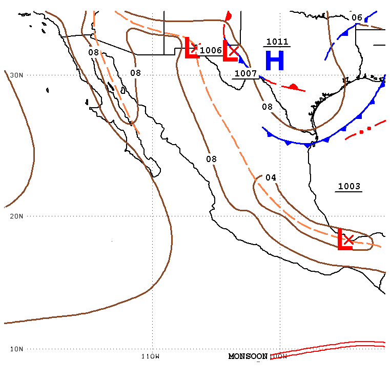
.SYNOPSIS...Low pressure is developing about 240 nm S-SW of
Acapulco, Mexico, along a tropical wave. Strong winds, rough
seas, and numerous thunderstorms are ongoing off Guerrero and
western Oaxaca. Environmental conditions appear favorable for
continued development, and a tropical depression is expected to
form over the next couple of days while the system moves
generally west-northwestward, staying offshore the coast of
Mexico. Expect strong winds and rough seas near the Revillagigedo
Islands by Tue night, as the low pressure makes its closest
point of approach to the south of the islands. A ridge will
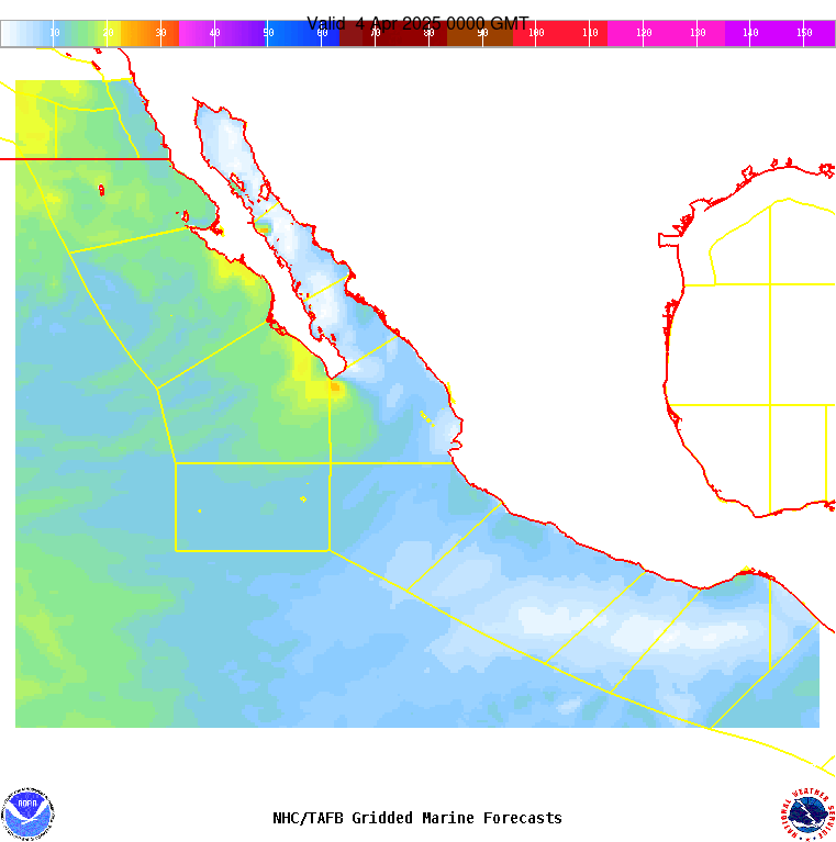
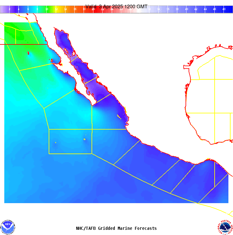
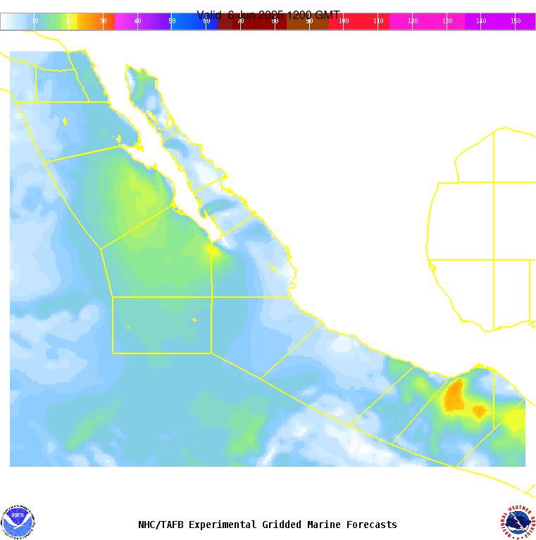
continue to dominate the offshore forecast waters of Baja
California through early Thu, allowing for gentle to moderate NW
to N winds to continue along with moderate seas in mixed swell.
In the Gulf of California, mainly gentle winds will prevail
through Tue night, increasing to moderate to locally fresh in the
central and northern portions midweek. Fresh to strong northerly
winds will pulse in the Gulf of Tehuantepec during the week and
into the upcoming weekend, strongest during the late night and
early morning hours, with locally rough seas at times.