



https://www.hurricanes.gov/marine/forecast
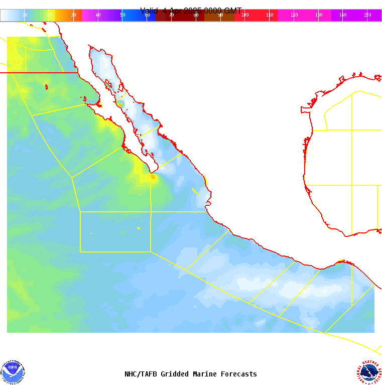
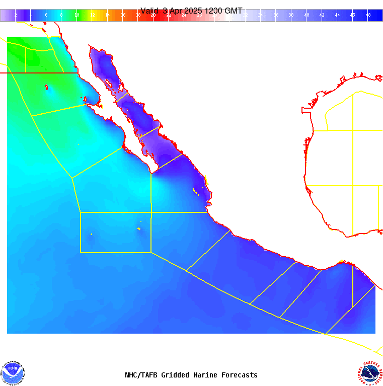
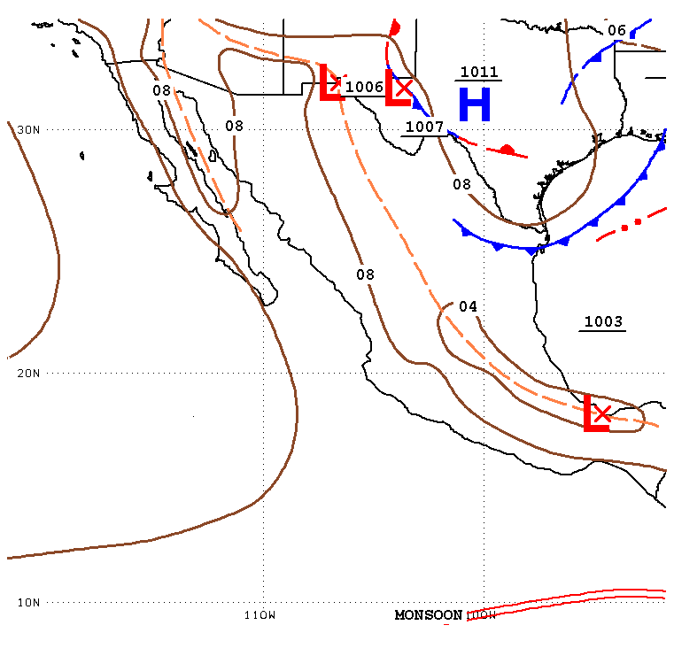
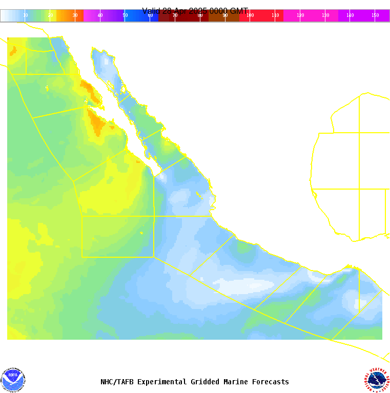
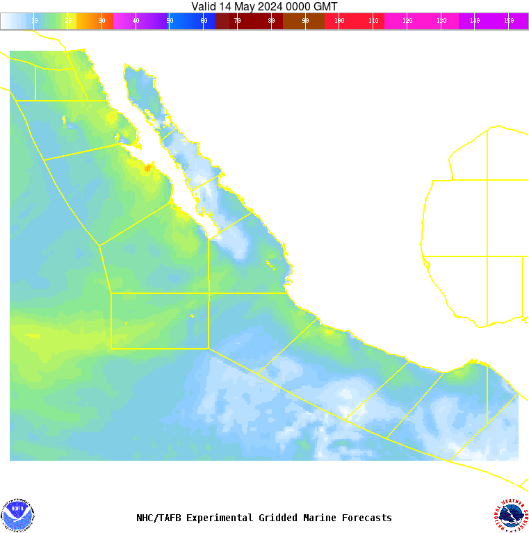
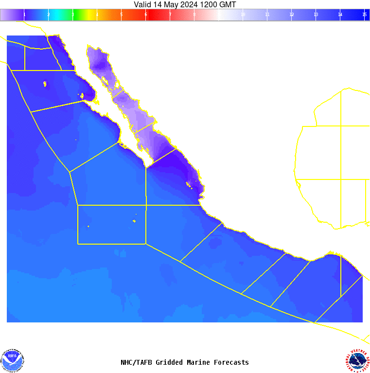
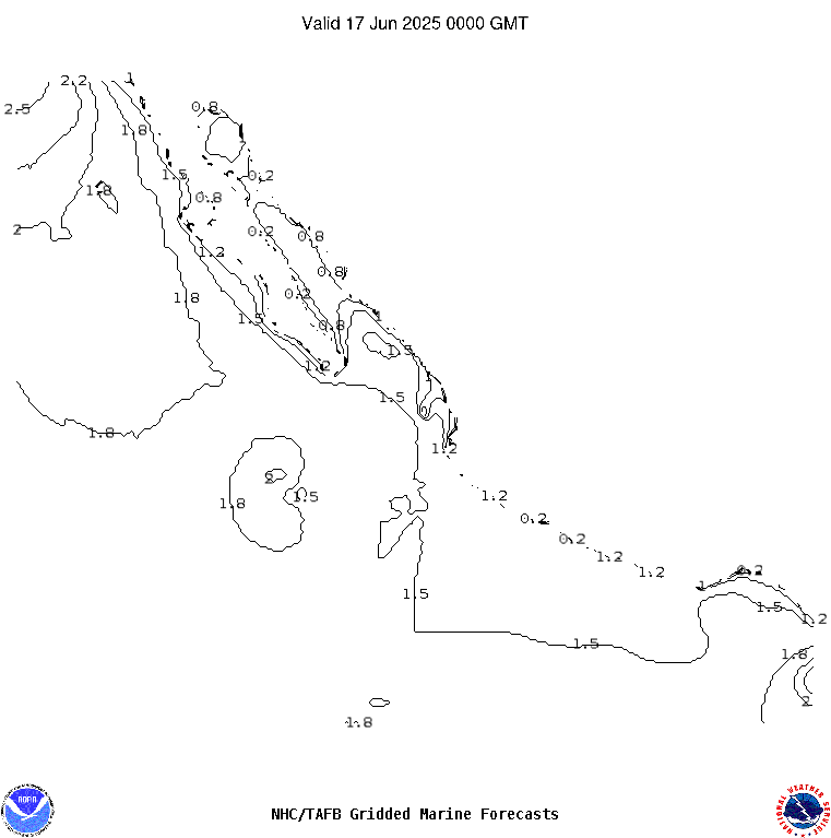
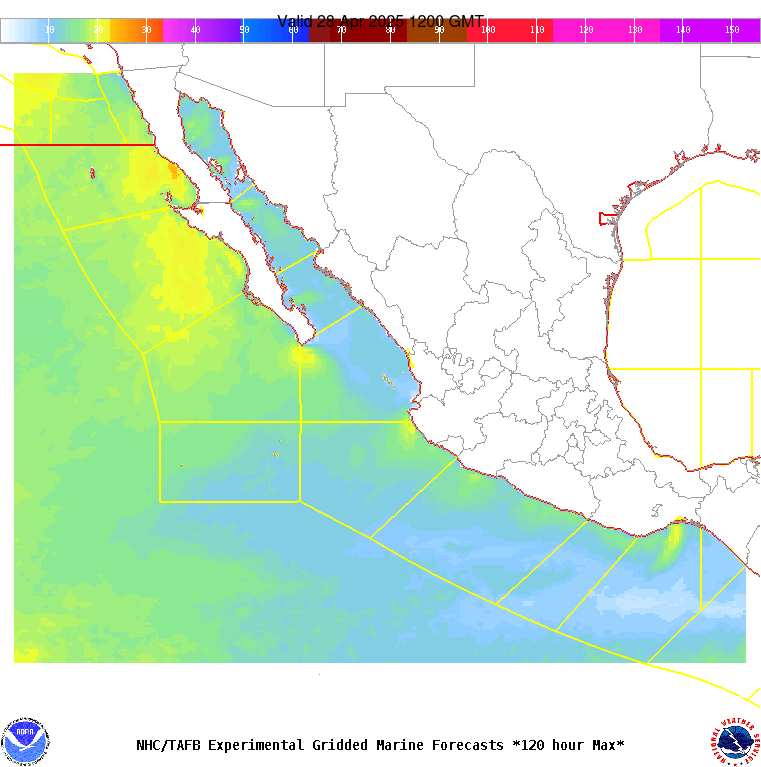
PMZ001-201345- Synopsis for the E Pacific within 250 nm of Mexico 637 PM PDT Fri Apr 19 2024 .SYNOPSIS...Gentle to moderate winds winds and moderate seas will persist through Sat. Fresh NW winds and building swell can be expected for the waters near Guadalupe Island off Baja California Norte Sun and Mon as the pressure gradient between high pressure building in from the NW and lower pressure over Mexico increases. Looking ahead, some fresh gap winds may develop in the Gulf of Tehunatepec Sun night. |