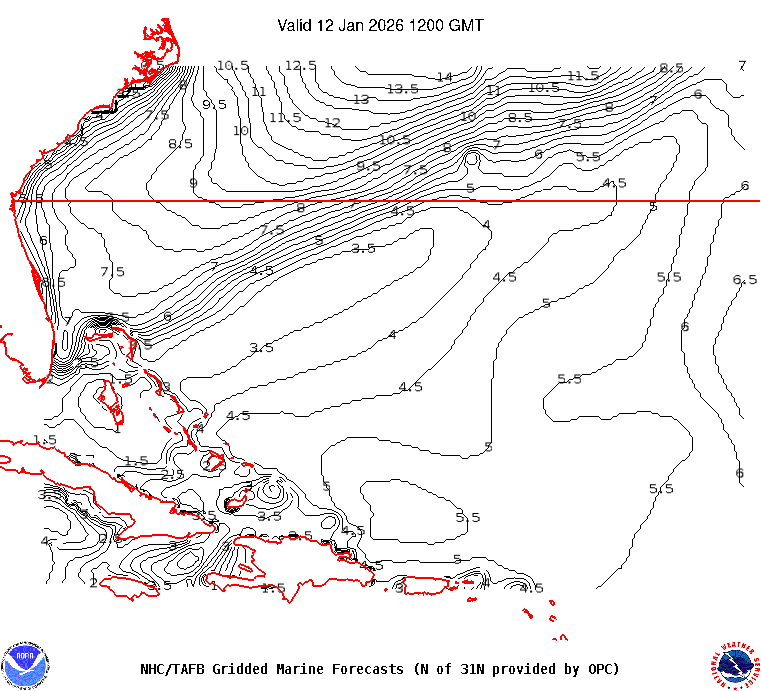
AMZ101-010730-
Synopsis for the SW N Atlantic including the Bahamas
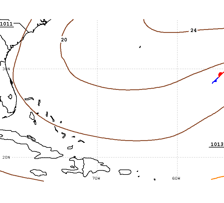
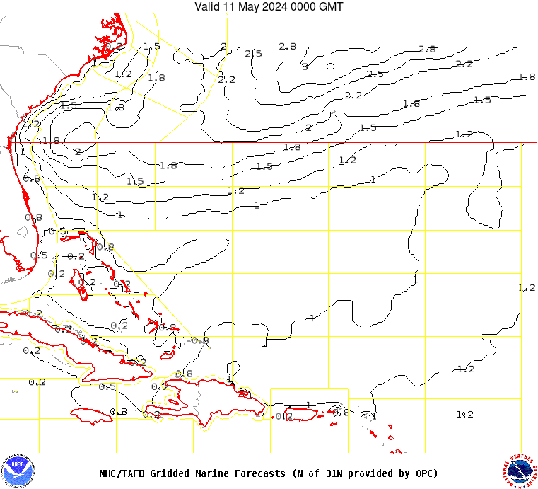
.SYNOPSIS...A high pressure ridge extending from near 30N55W to the
Straits of Florida will lift N to near 28N by Sun and change little
well into next week. The gradient between the ridge and a frontal
boundary just NW of the forecast waters will continue to support
fresh to strong SW winds along with scattered showers and
thunderstorms north of 26N and west of 65W through the weekend.
Fresh to strong trades will pulse just north of Hispaniola at night
through the period.