
https://www.hurricanes.gov/marine/forecast
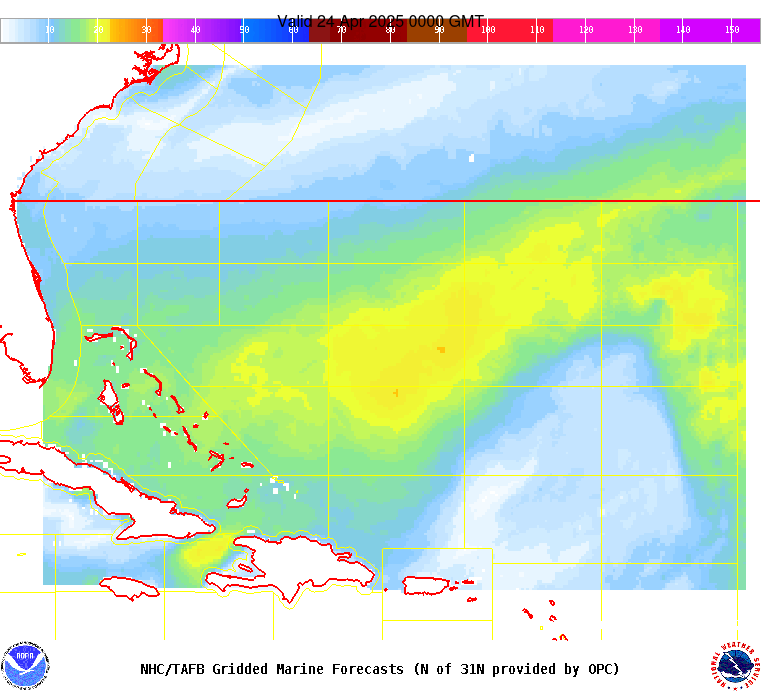
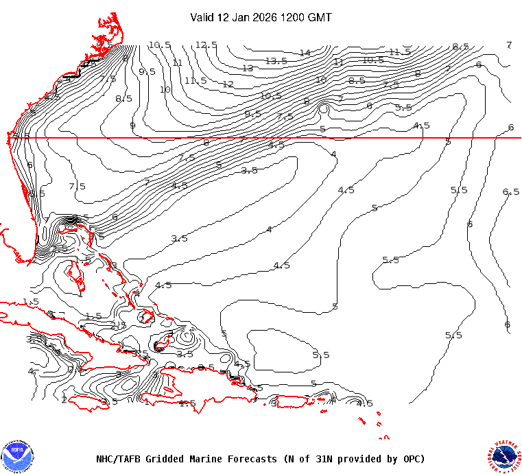
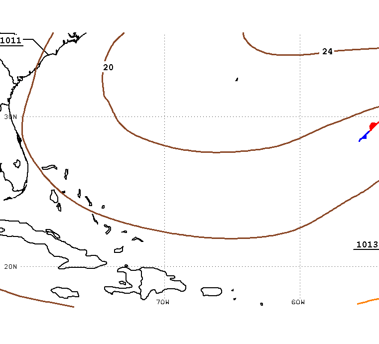
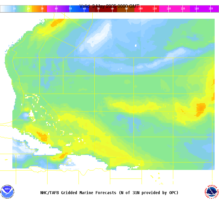
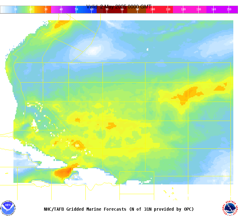
AMZ101-250845- Synopsis for the SW N Atlantic including the Bahamas 443 PM EDT Wed Apr 24 2024 .SYNOPSIS...A weakening cold front extends from 31N58W to 26N65W. The front is forecast to gradually weaken and dissipate to a remnant trough early Thu. Decaying northerly swell of 8-9 ft will subside this evening. Fairly tranquil conditions are forecast Thu and Thu night. Looking ahead, a new cold front will merge with the trough and progress eastward, reaching 31N57W to E Cuba on Sat morning, and then 25N55W to Hispaniola on Sun morning. Swell will push S of 31N with the front, resulting in building seas. A strengthening Bermuda High should cause widespread fresh to strong N to E winds W of the front beginning Fri evening through Sun evening. |