ZCZC MIATWOEP ALL
TTAA00 KNHC DDHHMM
Tropical Weather Outlook
NWS National Hurricane Center Miami FL
1100 AM PDT Tue May 15 2018
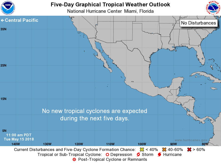
For the eastern North Pacific...east of 140 degrees west longitude:
Tropical cyclone formation is not expected during the next 5 days.
Today marks the first day of the eastern North Pacific hurricane
season, which will run until November 30. Long-term averages for
the number of named storms, hurricanes, and major hurricanes are
15, 8, and 4, respectively.
The list of names for 2018 is as follows:
Name Pronunciation Name Pronunciation
-------------------------------------------------------------
Aletta a-LET-ah Miriam MEER-ee-uhm
Bud buhd Norman NOR-muhn
Carlotta kar-LOT-uh Olivia oh-LEEV-ee-uh
Daniel DAN-yuhl Paul pall
Emilia eh-MILL-ya Rosa ROH-zuh
Fabio FAH-bee-o Sergio SIR-gee-oh
Gilma GIL-mah Tara TAIR-uh
Hector HEHK-tor Vicente vee-CEN-tay
Ileana ill-ay-AH-nah Willa WIH-lah
John jahn Xavier ZAY-vee-ur
Kristy KRIS-tee Yolanda yo-LAHN-da
Lane layne Zeke zeek
One tropical cyclone, Tropical Depression One-E, already formed
earlier this month.
This product, the Tropical Weather Outlook, briefly describes
significant areas of disturbed weather and their potential for
tropical cyclone formation during the next five days. The issuance
times of this product are 5 AM, 11 AM, 5 PM, and 11 PM PDT. After
the change to standard time in November, the issuance times are 4
AM, 10 AM, 4 PM, and 10 PM PST.
A Special Tropical Weather Outlook will be issued to provide
updates, as necessary, in between the regularly scheduled
issuances of the Tropical Weather Outlook. Special Tropical
Weather Outlooks will be issued under the same WMO and AWIPS
headers as the regular Tropical Weather Outlooks.
A standard package of products, consisting of the tropical cyclone
public advisory, the forecast/advisory, the cyclone discussion,
and a wind speed probability product, is issued every six hours
for all ongoing tropical cyclones. In addition, a special
advisory package may be issued at any time to advise of
significant unexpected changes or to modify watches or warnings.
The National Hurricane Center (NHC) has the option to issue
advisories, watches, and warnings for disturbances that are
not yet a tropical cyclone, but which pose the threat of bringing
tropical storm or hurricane conditions to land areas within 48
hours. For these land-threatening "potential tropical cyclones",
NHC will issue the full suite of advisory and watch/warning
products. Potential tropical cyclones will share the naming
conventions currently in place for tropical depressions, being
numbered from a single list (e.g., "One-E", "Two-E", "Three-E",
etc.).
The Tropical Cyclone Update is a brief statement to inform of
significant changes in a tropical cyclone, to post or cancel
watches or warnings, or to provide hourly position updates between
intermediate advisories when the storm center is easily followed
by radar. The Tropical Cyclone Update is also used in lieu of
or to precede the issuance of a special advisory package.
Tropical Cyclone Updates, which can be issued at any time, can be
found under WMO header WTPZ61-65 KNHC, and under AWIPS header
MIATCUEP1-5.
All NHC text and graphical products are available on the web at
http://www.hurricanes.gov. More information on NHC text products
can be found at http://www.hurricanes.govaboutnhcprod.shtml,
while more information about NHC graphical products can be
found at http://www.hurricanes.gov/aboutnhcgraphics.shtml.
You can also interact with NHC on Facebook at
https://www.facebook.com/NWSNHC. Notifications are available
via Twitter when select NHC products are issued. Information
about our east Pacific Twitter feed is available at
http://www.hurricanes.gov/twitter.shtml.
$$
Forecaster Avila
NNNN