ZCZC MIATWOAT ALL
TTAA00 KNHC DDHHMM
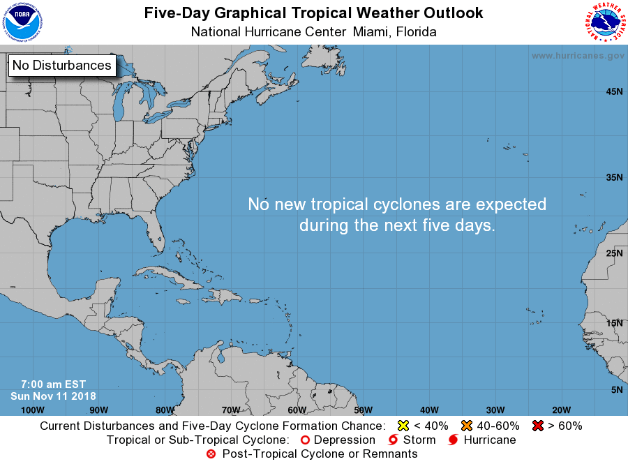
Tropical Weather Outlook
NWS National Hurricane Center Miami FL
700 AM EST Sun Nov 11 2018
For the North Atlantic...Caribbean Sea and the Gulf of Mexico:
Satellite data indicate that a tropical wave located several
hundred miles east of the Lesser is gradually becoming better
defined and continues to produce strong gusty winds mainly to the
east of the disturbance. Although no significant development of
this system is expected during the next day or two, conditions
are forecast to become a little more conducive by Tuesday, and a
tropical or subtropical cyclone could form during the middle of
the week while the system moves near or north of the Leeward
Islands, Puerto Rico, Hispaniola and the southeastern Bahamas.
* Formation chance through 48 hours...low...near 0 percent.
* Formation chance through 5 days...medium...50 percent.
$$
Forecaster Stewart
NNNN