ZCZC MIATWOEP ALL
TTAA00 KNHC DDHHMM
Tropical Weather Outlook
NWS National Hurricane Center Miami FL
1000 PM PST Fri Nov 15 2024
For the eastern North Pacific...east of 140 degrees west longitude:
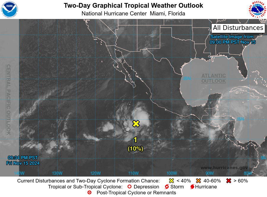
1. Central Portion of the East Pacific:
A broad area of low pressure located several hundred miles southwest
of the coast of southwestern Mexico is producing disorganized shower
and thunderstorm activity, and recent satellite-derived wind data
indicates that the circulation is elongated and not well-defined.
Environmental conditions could allow for some slow development of
this system over the next couple of days while it moves slowly
east-northeastward.
* Formation chance through 48 hours...low...10 percent.
* Formation chance through 7 days...low...10 percent.
Forecaster Hagen


