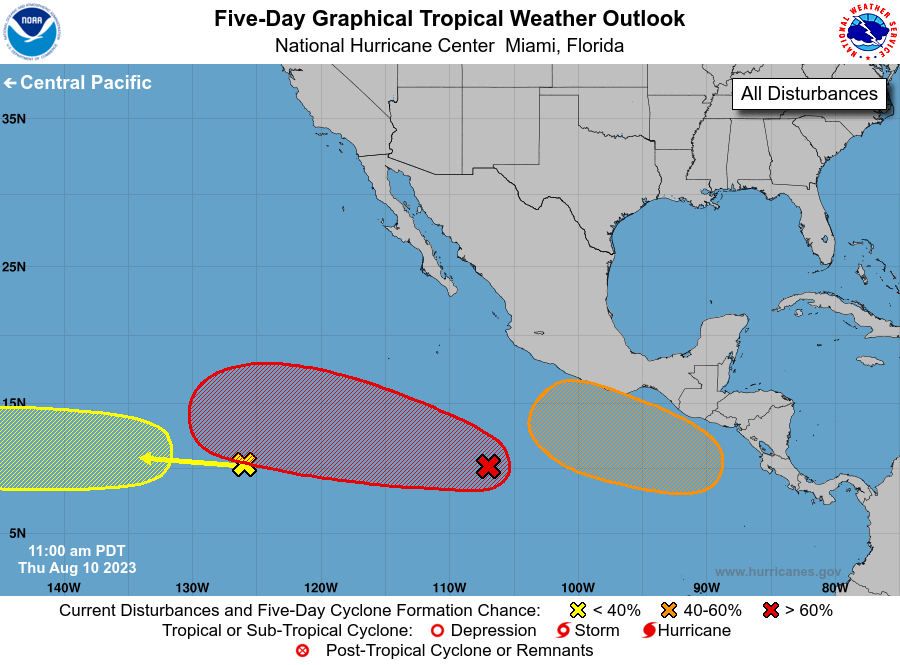
ZCZC MIATWOEP ALL
TTAA00 KNHC DDHHMM

Tropical Weather Outlook
NWS National Hurricane Center Miami FL
500 PM PDT Fri Nov 1 2024

For the eastern North Pacific...east of 140 degrees west longitude:

Active Systems:
The National Hurricane Center is issuing advisories on newly-formed
Tropical Depression Thirteen-E, located over the western portion of
the eastern Pacific basin.

1. Southwest of Southwestern Mexico:
An area of low pressure is developing well offshore of the
southwestern coast of Mexico, currently associated with an area of
disorganized showers and thunderstorms. Some slow development of
this system is possible as it begins to drift slowly
eastward or east-northeastward by the early to middle part of next
week.
* Formation chance through 48 hours...low...10 percent.
* Formation chance through 7 days...low...30 percent.


Public Advisories on Tropical Depression Thirteen-E are issued under
WMO header WTPZ33 KNHC and under AWIPS header MIATCPEP3.
Forecast/Advisories on Tropical Depression Thirteen-E are issued
under WMO header WTPZ23 KNHC and under AWIPS header MIATCMEP3.

Forecaster Papin


