ZCZC MIATWOEP ALL
TTAA00 KNHC DDHHMM
Tropical Weather Outlook
NWS National Hurricane Center Miami FL
500 PM PDT Sun Jun 16 2024
For the eastern North Pacific...east of 140 degrees west longitude:
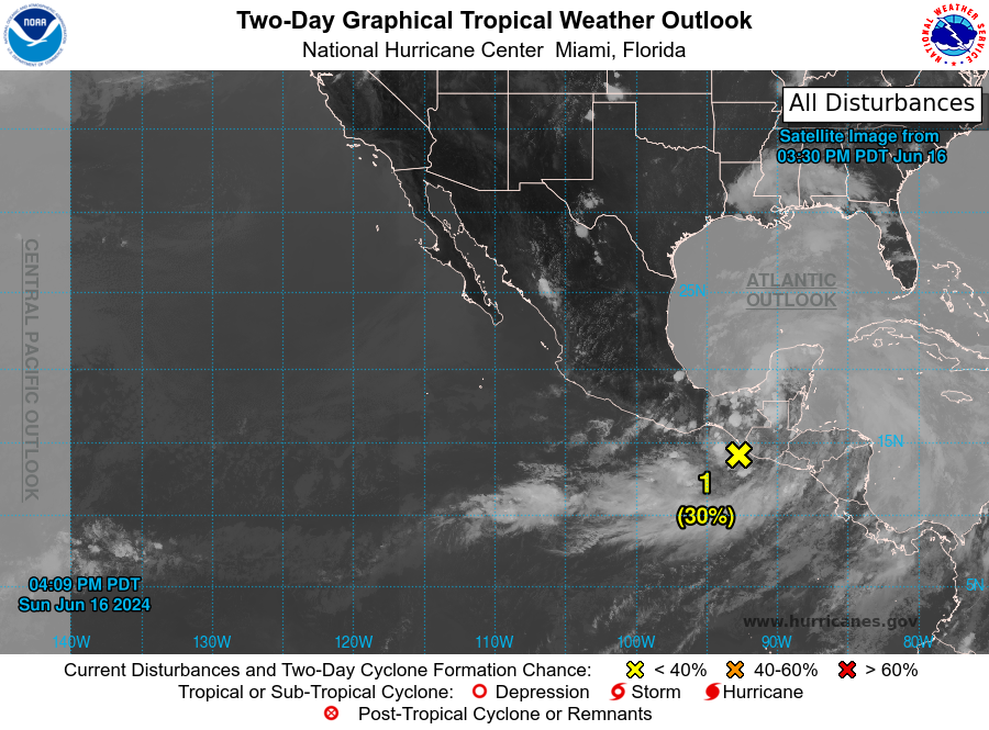
1. Offshore Central America (EP90):
A small area of low pressure located just offshore and to the south
of the Guatemala/Mexico border is producing disorganized showers
and thunderstorms. Environmental conditions appear conducive for
slight additional development before the system moves inland
tonight or early Monday. Regardless of development, several days
of heavy rainfall are expected across portions of southern Mexico
and Central America. These rains are likely to cause
life-threatening flooding and flash flooding.
* Formation chance through 48 hours...low...30 percent.
* Formation chance through 7 days...low...30 percent.
Forecaster Roberts