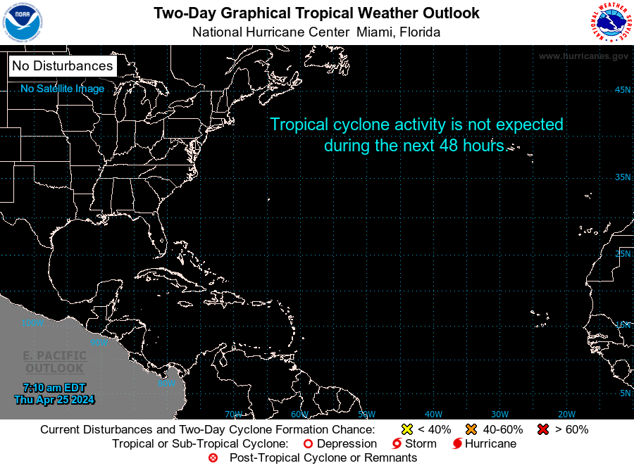
ZCZC MIATWOAT ALL
TTAA00 KNHC DDHHMM

Tropical Weather Outlook
NWS National Hurricane Center Miami FL
800 AM EDT Fri Jul 4 2025

For the North Atlantic...Caribbean Sea and the Gulf of America:

1. Near the Southeastern United States (AL92):
Showers and thunderstorms have increased in association with an area
of low pressure located about 100 miles off the northeast Florida
coast.  Environmental conditions are forecast to be marginally
conducive for further development, and a short-lived tropical or
subtropical depression could form late today or on Saturday while
the system drifts northward.  This low is expected to move inland
over the southeastern U.S. Saturday night or early Sunday.
Regardless of development, heavy rainfall is possible across
portions of west-central and southwestern Florida through early
Saturday, and across coastal sections of the Carolinas beginning
later on Saturday. An Air Force Reserve Hurricane Hunter aircraft is
scheduled to investigate the system later today.
* Formation chance through 48 hours...medium...60 percent.
* Formation chance through 7 days...medium...60 percent.


Forecaster Cangialosi/Beven


