ZCZC MIATWOAT ALL
TTAA00 KNHC DDHHMM
Tropical Weather Outlook
NWS National Hurricane Center Miami FL
Issued by the NWS Weather Prediction Center College Park MD
200 PM EDT Tue Jul 1 2025
For the North Atlantic...Caribbean Sea and the Gulf of America:
1. Near the Southeastern U.S.:
A frontal boundary is expected to stall and weaken off the southeast
U.S. coast late this week. An area of low pressure could develop
from the weakening front by the weekend over the Atlantic waters off
the southeast U.S., over Florida, or over the eastern Gulf. Some
gradual tropical or subtropical development could occur thereafter
as the low drifts and moves little. Regardless of development, heavy
rainfall is possible across portions of the southeast U.S.,
particularly across the west-central Florida coast.
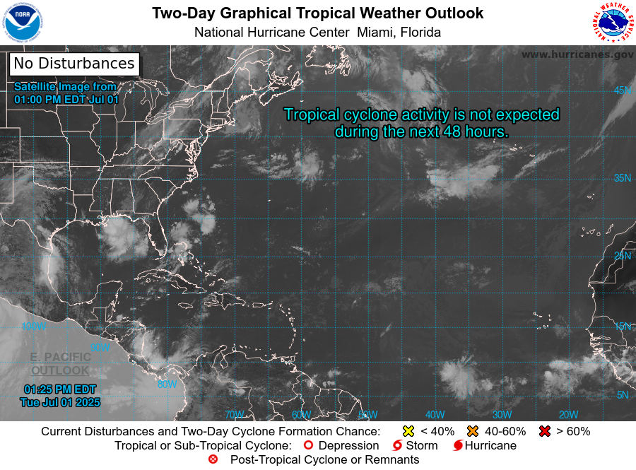
* Formation chance through 48 hours...low...near 0 percent.
* Formation chance through 7 days...low...30 percent.
Forecaster Churchill