613
AXPZ20 KNHC 180131
TWDEP

Tropical Weather Discussion
NWS National Hurricane Center Miami FL
0405 UTC Tue Aug 18 2026

Tropical Weather Discussion for the eastern Pacific Ocean from
03.4S to 30N, east of 120W including the Gulf of California, and
from the Equator to 30N, between 120W and 140W. The following
information is based on satellite imagery, weather observations,
radar, and meteorological analysis.

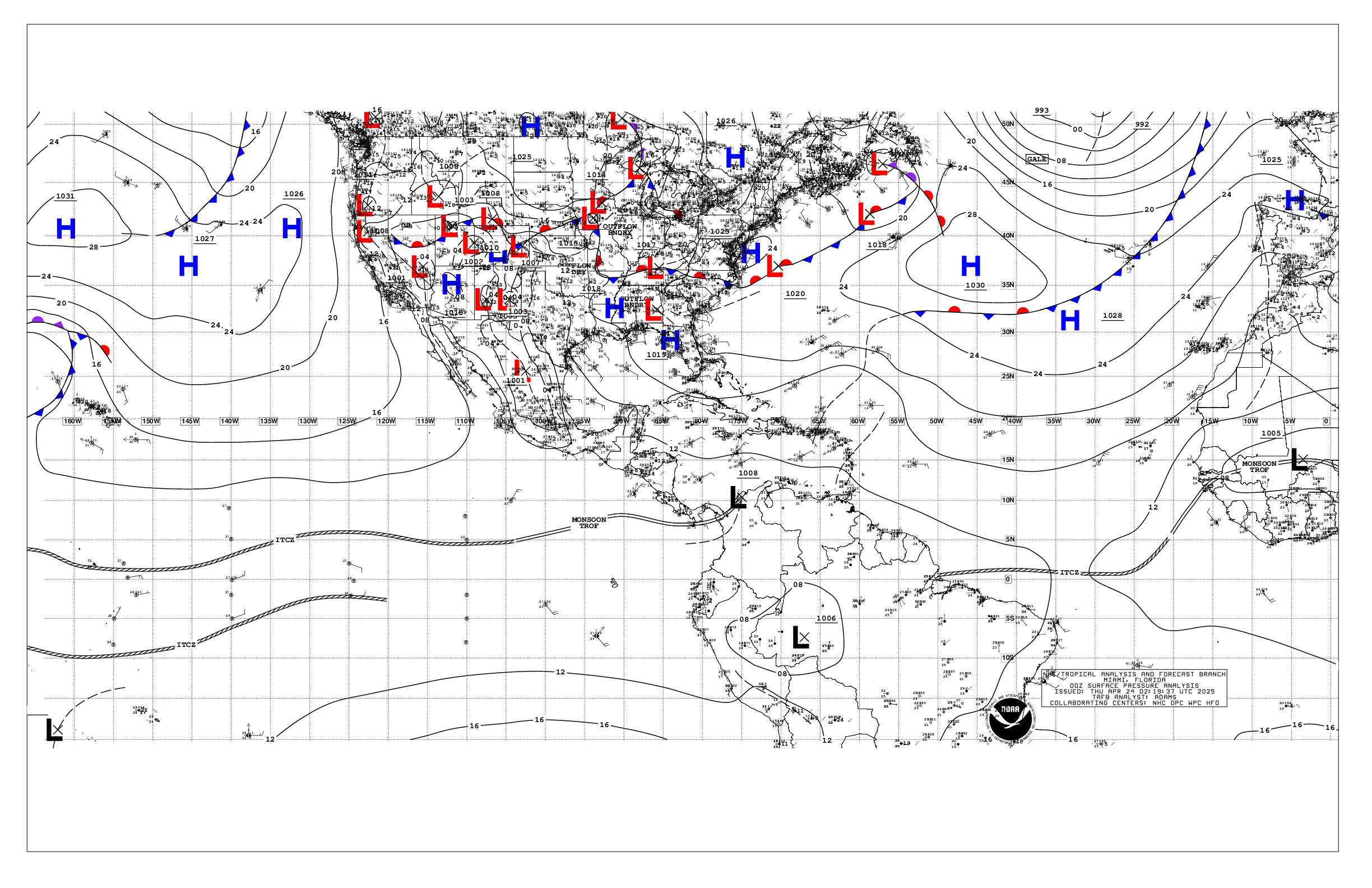
Based on 0000 UTC surface analysis and satellite imagery through
0100 UTC.

...SPECIAL FEATURES...

Gulf of Tehuantepec Gale Warning: A very tight local pressure
gradient is present over the Gulf of Tehuantepec area in the
wake of a departing tropical wave with a tight ridge of high
pressure nosing down eastern to southeastern Mexico, as well as a
surface trough to the northeast over the western Yucatan
Peninsula. This pressure is likely supporting minimal gale-force
northerly gap winds in the Gulf of Tehuantepec, with seas in the
process of building to 8 to 10 ft. Winds are forecast to diminish
below gale-force to fresh to strong by early Tue. Please, refer
to the latest NWS High Seas Forecast available at website:
https://www.nhc.noaa.gov/text/MIAHSFEP2.shtml for more details.

...TROPICAL WAVES...

The axis of a tropical wave is near 78W from 03N near the border
of Ecuador and Colombia northward to across eastern Panama near
the border with Colombia, and continuing into the Caribbean Sea
to near western Jamaica, moving westward at around 10 kt.
Scattered to numerous moderate and isolated strong convection is
noted from 02N to 12N between 77W and 93W.

The axis of a tropical wave is near 98W from just western
offshore Oaxaca southward to near the Equator, moving slowly
westward at around 5 kt. Scattered moderate isolated strong
convection is noted from 06N to 13N between 96W and 103W. An area
of low pressure is forecast to form several hundred nautical
miles south of the coast of southern Mexico around the end of the
week. Gradual development of this system is likely thereafter,
and a tropical depression is expected to form this weekend while
the system moves west- northwestward, remaining well offshore of
Mexico.

The axis of a tropical wave is near 126W from 01N to 17N, moving
westward at around 10 kt. Scattered moderate isolated strong
convection is noted from 06N to 14N between 114W and 136W. A
broad area of low pressure is expected to form well to the east-
southeast of the Hawaiian Islands during the latter part of this
week. Environmental conditions appear conducive for gradual
development of this system, and a tropical depression could form
towards the end of the week or over the weekend while the system
moves generally westward across the western portion of the east
Pacific and into the central Pacific.

...INTERTROPICAL CONVERGENCE ZONE/MONSOON TROUGH...

The monsoon trough extends from 1009 mb low pressure near the
border of NW Venezuela and northern Colombia at 09N72W to along
northern Panama to across Costa Rica and into the Pacific near
09N84W to 06.5N108W. The ITCZ extends from 06.5N108W to
08.5N122W, then resumes west of a tropical wave from 09N129W to
beyond 08N140W. Other than the convection described above with
three tropical waves, scattered moderate isolated strong is noted
from 00N to 02.5N between 129W and 138W.

...OFFSHORE WATERS WITHIN 250 NM OF MEXICO...

See the Special Features section above for details on a Gale
Warning in effect in the Gulf of Tehuantepec for the overnight
hours. An area of 7 to 9 ft seas is found just southwest of the
Gulf of Tehuantepec, a combination of earlier fresh to strong
winds to the east near the Gulf of Papagayo, the Gulf of
Tehuantepec winds, and background SW swell.

See Tropical Waves section above for information on a tropical
wave that has a potential for tropical development offshore
Mexico at the end of this week.

Seas are 4 to 6 ft across the remainder of the offshore waters,
except 1 to 3 ft in the Gulf of California. Moderate to fresh
NW-N winds are found offshore Baja California from Punta Eugenia
northward, locally strong near Punta Eugenia. Winds are moderate
or weaker across the remainder of the offshore waters, except
developing fresh to strong winds along the coast between Cabo
Corrientes and the entrance to the Gulf of California where a
strong thunderstorm complex is in the process of moving slightly
offshore into the Gulf of California and adjacent areas.
Scattered thunderstorms are noted from 19N to 27N between Mexico
and 109.5W.

For the forecast, the pressure gradient between high pressure
over the Gulf of America and relatively lower pressure south of
Mexico will continue to induce pulses of strong north winds over
the Gulf of Tehuantepec through Wed night, to minimal gale-force
overnight tonight into early Tue, with moderate to fresh pulses
starting Thu. Seas will occasionally build to rough with the
fresh to strong or stronger winds. A surge of strong SE winds
will move from north of Cabo Corrientes into the southern
and central Gulf of California tonight into early Tue,
associated with a complex of convection. Winds and seas may build
across the outer offshore waters of southwestern Mexico by the
end of the week into the upcoming weekend in association with a
possibly developing area of low pressure beyond the offshore
waters.

...OFFSHORE WATERS WITHIN 250 NM OF CENTRAL AMERICA, COLOMBIA,
AND WITHIN 750 NM OF ECUADOR...

See Tropical Waves section above for information on a tropical
wave producing heavy rainfall over portions of Colombia, Panama
and areas northwestward, with heavy thunderstorms also over the
adjacent offshore waters as described above.

Developing offshore easterly fresh to strong winds are in the
immediate Gulf of Papagayo. Winds are moderate or weaker elsewhere
north of the monsoon trough, and moderate to fresh south of the
monsoon trough. Seas are 4 to 7 ft in long-period SW swell,
except 7 to 9 ft southwest of the Galapagos Islands.

For the forecast, the pressure gradient between high pressure
over the western Caribbean and relatively lower pressure over
Central America will lead to pulsing strong to near gale-froce
northeast to east gap winds over the Papagayo region, with
resultant rough seas. Moderate to fresh associated winds will
extend well downwind across the outer offshore waters of El
Salvador and Guatemala at times. Moderate to fresh southerly
winds will pulse south of the monsoon trough through tonight.
Large southerly swell will impact waters mainly from Ecuador to
the Galapagos Islands through Wed night, largest expected through
Tue night.

...REMAINDER OF THE AREA...

See Tropical Waves section above for information on two tropical
waves that have potential for tropical development later this
week.

Moderate to fresh E winds are noted from 09N to 20N between 121W
and 136W associated with the tropical wave at 126W, with similar
winds from 20N to 28N between 129W and 138W. Moderate to fresh
winds and rough seas are also found south of the monsoon trough
between 90W and 126W. Winds are moderate or weaker across the
remainder of the open waters, except locally fresh near the
eastern tropical wave at 98W with locally rough seas. Seas are 4
to 7 ft across the remainder of the open waters. For the
forecast, regardless of tropical development, the tropical waves
described in the above section will bring some increasing winds
and seas to area waters. Away from these waves, little change is
expected in marine weather through the week.

$$
Lewitsky


 NHC on Facebook
 NHC on X
 NHC on YouTube
 NHC Blog: