000
AXPZ20 KNHC 201513
TWDEP

Tropical Weather Discussion
NWS National Hurricane Center Miami FL
1605 UTC Sun Sep 20 2026

Tropical Weather Discussion for the eastern Pacific Ocean from
03.4S to 30N, east of 120W including the Gulf of California, and
from the Equator to 30N, between 120W and 140W. The following
information is based on satellite imagery, weather observations,
radar, and meteorological analysis.

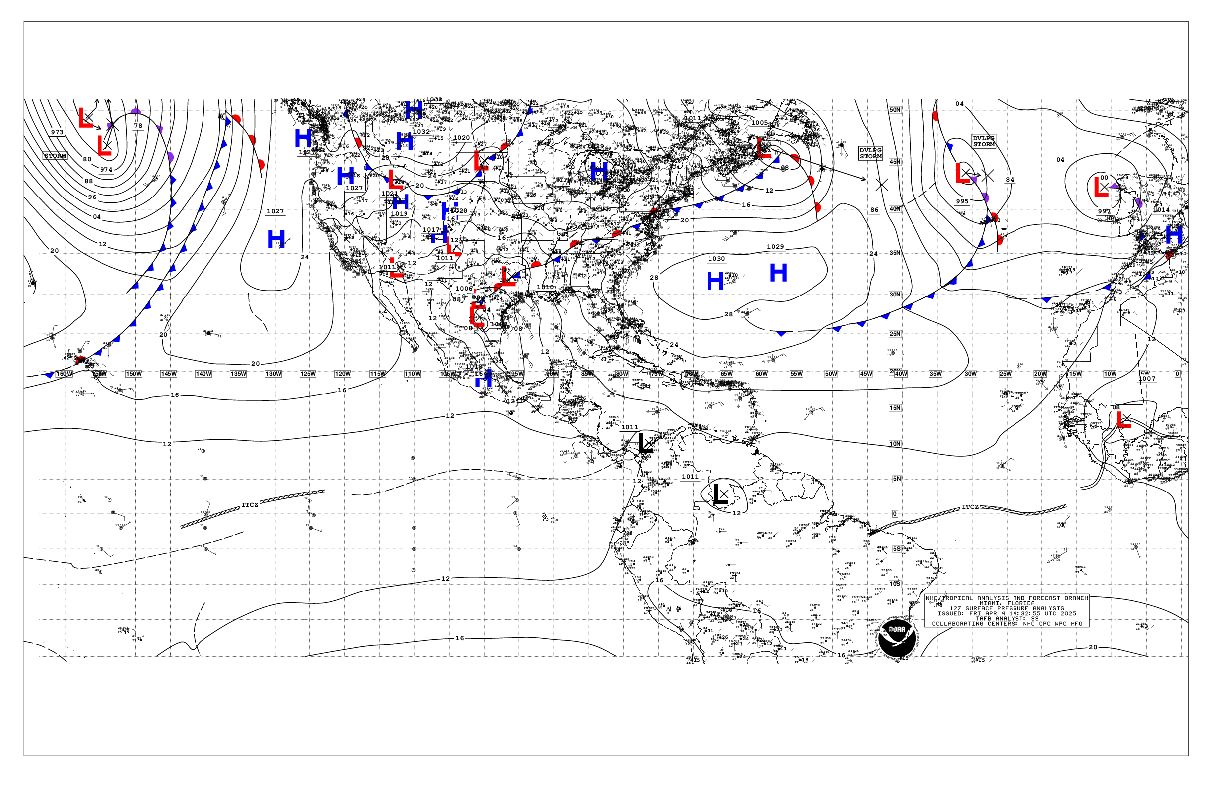
Based on 1200 UTC surface analysis and satellite imagery through
1500 UTC.

...SPECIAL FEATURES...

Tropical Storm Odalys is centered near 11.1N 125.5W at 20/1500
UTC, moving west-northwest at 8 kt. Estimated minimum central
pressure is 1003 mb. Maximum sustained wind speed is 40 kt with
gusts to 50 kt. Seas are peaking near 12 ft. Numerous moderate
to strong convection is from 08N to 12N between 123W and 127W.
Scattered moderate and isolated strong convection is found
elsewhere from 03N to 13N between 120W and 130W. Odalys is
forecast to turn northwestward for the next couple of days, then
move in a northeastward to eastward track. Environmental
conditions are conducive for intensification, and Odalys is
forecast to reach hurricane strength by Mon night.

Please read the latest HIGH SEAS FORECAST issued by the National
Hurricane Center at website
- https://www.nhc.noaa.gov/text/MIAHSFEP2.shtml and the latest
Odalys NHC Forecast/Advisory and Public Advisory at
www.hurricanes.gov for more details.

Storm warning (EP99): Showers and thunderstorms associated with
a broad area of low pressure located about 400 miles south of
Manzanillo, Mexico have continued to become better organized over
the past several hours. Environmental conditions remain
conducive for development, and a tropical depression is likely to
form within the next day or so as the system moves generally
northward off the coast of southwestern Mexico. There is a high
chance of tropical cyclone formation in the next 48 hours.
Regardless of development, this system is forecast to bring gale
to storm force winds and rough to very rough seas over the
offshore waters from Guerrero to Jalisco through Thu night. In
anticipation of tropical cyclone development, a storm warning has
been issued for this area.

Please refer to the latest NHC Tropical Weather Outlook at
website: www.hurricanes.gov for more details on these Invests.

...TROPICAL WAVES...

The axis of a tropical wave is near 84/85W, moving westward near
5-10 kt. Nearby convection is discussed in the ITCZ/monsoon
trough section below.

...INTERTROPICAL CONVERGENCE ZONE/MONSOON TROUGH...

The monsoon trough extends from 10N85W to 10N91W to 15N106W to
11N122W. It resumes west of Odalys near 11N130W to 14N140W.
Scattered moderate and isolated strong convection is noted from
02N to 12N east of 90W, from 05N to 12N between 92W and 100W,
from 11N to 18N between 101W and 109W, from 05N to 10N between
109W and 116W, and from 02N to 16N between 130W and 140W.

...OFFSHORE WATERS WITHIN 250 NM OF MEXICO...

Please see SPECIAL FEATURES above for more on a storm warning
associated with EP99, which has a high chance for TC development
in the next 48 hours.

Fresh to strong winds and rough seas, associated with EP99, are
over the outer offshore waters off SW Mexico. Moderate winds and
moderate seas are west of the Baja California peninsula. Gentle
to moderate winds and slight seas are over the Gulf of
California. Light to gentle winds and moderate seas prevail
elsewhere.

For the forecast, aside from conditions associated with Invest
EP99, moderate to locally fresh NW winds will prevail across
the offshore Baja California waters through early Fri morning
when conditions in Baja California Sur offshores will start to
deteriorate due to the proximity of Invest EP99.

...OFFSHORE WATERS WITHIN 250 NM OF CENTRAL AMERICA, COLOMBIA,
AND WITHIN 750 NM OF ECUADOR...

Moderate or weaker winds and moderate seas prevail across the
region.

For the forecast, gentle to moderate winds and moderate seas
will prevail through Thu night across the offshores.

...REMAINDER OF THE AREA...

Please see SPECIAL FEATURES above for details on Tropical Storm
Odalys.

Outside of Odalys, fresh to strong winds, and rough seas, are
over the waters N of the monsoon trough to near 23N and west of
132W. Gentle to moderate winds, and moderate seas, prevail
elsewhere N of the monsoon trough. Fresh to strong winds are
over the waters S of EP99, where rough seas prevail. Elsewhere S
of the monsoon trough, moderate or weaker winds and moderate
seas, prevail.

For the forecast, Odalys will move to 12.1N 126.8W this evening,
13.3N 128.1W Mon morning, strengthen to a hurricane near 14.1N
129.0W Mon evening, 14.5N 129.2W Tue morning, 14.8N 128.4W Tue
evening, and 14.9N 127.7W Wed morning. Odalys will change little
in intensity as it moves to the 15.5N 126.2W early Thu.
Otherwise, outside of conditions with EP99, gentle to moderate
winds and moderate seas will prevail.

$$
AL


 NHC on Facebook
 NHC on X
 NHC on YouTube
 NHC Blog: