Skip Navigation Links
NOAA NOAA United States Department of Commerce

  Top News of the Day... view past news Last update Fri, 10 Oct 2025 02:00:56 UTC  
blue line for news table
Central Pacific Eastern Pacific Atlantic

View 2-Day Graphical Tropical Weather Outlook with Satellite
Click for Eastern Pacific
Active Storms | Marine Forecasts
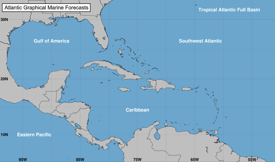
Tropical Atlantic Full Basin Gulf of America Atlantic Offshore Waters Caribbean Tropical East Pacific Forecast Graphics Tropical East Pacific Full Basin Mexico Offshore Waters Central America Offshore Waters North Atlantic Marine Forecasts

Atlantic - Caribbean Sea - Gulf of America
Tropical Weather Outlook (en Español*)
800 PM EDT Thu Oct 9 2025
Tropical Weather Discussion
0015 UTC Fri Oct 10 2025
TC Type ImageTropical Storm Jerry RSS Feed icon Satellite | Buoys | Grids | Storm Archive
...JERRY PASSING JUST EAST OF BARBUDA THIS EVENING... ...TROPICAL STORM WARNINGS REMAIN IN EFFECT FOR PORTIONS OF THE NORTHERN LEEWARD ISLANDS...
8:00 PM AST Thu Oct 09
Location: 17.5°N 61.1°W
Moving: WNW at 18 mph
Min pressure: 1006 mb
Max sustained: 65 mph

Public
Advisory
#10A

800 PM AST
Forecast
Advisory
#10

2100 UTC
Forecast
Discussion
#10

500 PM AST
Wind Speed
Probabilities
#10

2100 UTC
 
Productos en español:
(más información)

Aviso
Publico

Pronóstico
Discusión

34-knot Wind Speed Probability
Wind Speed
Probabilities
Earliest Reasonable Time of Arrival of 34-knot winds
Arrival Time
of Winds
Wind History
Wind
History
Google Maps API Warnings and Track Forecast Cone
Warnings/Cone
Interactive Map
Warnings and 5-Day Cone
Warnings/Cone
Static Images
Experimental Cone
Experimental
Cone
Surface Wind Field
Warnings and
Surface Wind
Key Messages
Key
Messages
Mensajes Claves
Mensajes
Claves
Rip Currents
Rip
Currents
WPC Rainfall Potential thumbnail
Rainfall
Potential


Eastern North Pacific (East of 140°W)
Tropical Weather Outlook (en Español*)
500 PM PDT Thu Oct 9 2025
Tropical Weather Discussion
2205 UTC Thu Oct 9 2025
TC Type ImageTropical Storm Priscilla RSS Feed icon Satellite | Buoys | Grids | Storm Archive
...SIGNIFICANT RISK OF FLASH FLOODING ACROSS THE SOUTHWEST UNITED STATES THROUGH THE WEEKEND...
2:00 PM MST Thu Oct 09
Location: 24.4°N 114.9°W
Moving: NNW at 8 mph
Min pressure: 996 mb
Max sustained: 45 mph

Public
Advisory
#21

200 PM MST
Forecast
Advisory
#21

2100 UTC
Forecast
Discussion
#21

200 PM MST
Wind Speed
Probabilities
#21

2100 UTC
 
Productos en español:
(más información)

Aviso
Publico

Pronóstico
Discusión

34-knot Wind Speed Probability
Wind Speed
Probabilities
Earliest Reasonable Time of Arrival of 34-knot winds
Arrival Time
of Winds
Wind History
Wind
History
Google Maps API Warnings and Track Forecast Cone
Warnings/Cone
Interactive Map
Warnings and 5-Day Cone
Warnings/Cone
Static Images
Experimental Cone
Experimental
Cone
Surface Wind Field
Warnings and
Surface Wind
Rip Currents
Rip
Currents
WPC Rainfall Potential thumbnail
Rainfall
Potential
WPC Flash Flooding Potential thumbnail
Flash Flooding
Potential
TC Type ImageTropical Storm Raymond RSS Feed icon Satellite | Buoys | Grids | Storm Archive
...RAYMOND MOVING WEST-NORTHWESTWARD PARALLEL TO THE SOUTHWESTERN COAST OF MEXICO... ...RISK OF FLASH FLOODING IN AREAS OF HIGHER TERRAIN THROUGH SATURDAY...
6:00 PM CST Thu Oct 09
Location: 16.5°N 102.3°W
Moving: WNW at 14 mph
Min pressure: 1002 mb
Max sustained: 45 mph

Public
Advisory
#2A

600 PM CST
Forecast
Advisory
#2

2100 UTC
Forecast
Discussion
#2

300 PM CST
Wind Speed
Probabilities
#2

2100 UTC
 
Productos en español:
(más información)

Aviso
Publico

Pronóstico
Discusión

34-knot Wind Speed Probability
Wind Speed
Probabilities
Earliest Reasonable Time of Arrival of 34-knot winds
Arrival Time
of Winds
Wind History
Wind
History
Google Maps API Warnings and Track Forecast Cone
Warnings/Cone
Interactive Map
Warnings and 5-Day Cone
Warnings/Cone
Static Images
Experimental Cone
Experimental
Cone
Surface Wind Field
Warnings and
Surface Wind
Mensajes Claves
Mensajes
Claves
Rip Currents
Rip
Currents
WPC Rainfall Potential thumbnail
Rainfall
Potential


Central North Pacific (140°W to 180°)
Tropical Weather Outlook (en Español*)
200 PM HST Thu Oct 09 2025
There are no tropical cyclones in the Central Pacific at this time.


Hurricane Preparedness Sign Image of Hurricane Preparedness

Learn about hurricane hazards and what you can do to help protect yourself, your family, and your
property.


Tropical Cyclone Centers Worldwide
Lat/Lon Distance Calculator
Find distance between latitude/longitude points

Hurricane Season Dates

Hurricane season in the Atlantic begins June 1st and ends November 30th. The Eastern Pacific hurricane season begins May 15th and also ends November 30th.

Hurricane Season Summaries and Reports

Atlantic: Monthly Tropical Cyclone Summary | Tropical Cyclone Reports
Eastern Pacific: Monthly Tropical Cyclone Summary | Tropical Cyclone Reports

Blank Tracking Charts

Atlantic and Eastern Pacific hurricane tracking charts are available for download.

Additional Resources