Experimental Tropical Cyclone Marine Danger Graphic
Below are current comparisons between the experimental danger graphic (left) and the operational danger graphic (right). Note: The experimental graphic may be unavailable or lag the operational graphic. Check the valid date at bottom of graphic to verify comparisons.
Atlantic
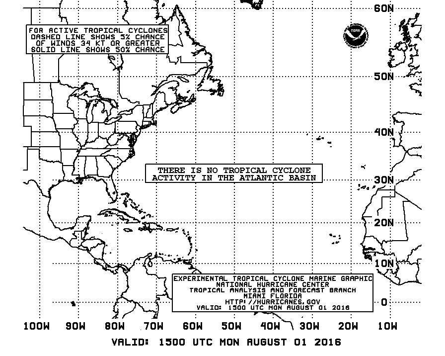
 Left - Experimental Danger Graphic based on Wind Speed Probabilities. Right - Operational Danger Graphic based on Mariner's 1-2-3 Rule.
East Pacific
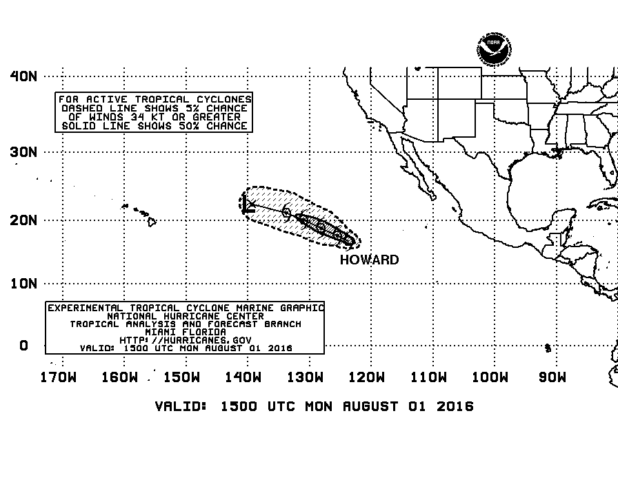
 Left - Experimental Danger Graphic based on Wind Speed Probabilities. Right - Operational Danger Graphic based on Mariner's 1-2-3 Rule.