214
AXPZ20 KNHC 272352 CCA
TWDEP

Tropical Weather Discussion...Corrected
NWS National Hurricane Center Miami FL
2205 UTC Sat Jun 27 2026

Corrected ITCZ/Monsoon Trough section

Tropical Weather Discussion for the eastern Pacific Ocean from
03.4S to 30N, east of 120W including the Gulf of California, and
from the Equator to 30N, between 120W and 140W. The following
information is based on satellite imagery, weather observations,
radar, and meteorological analysis.

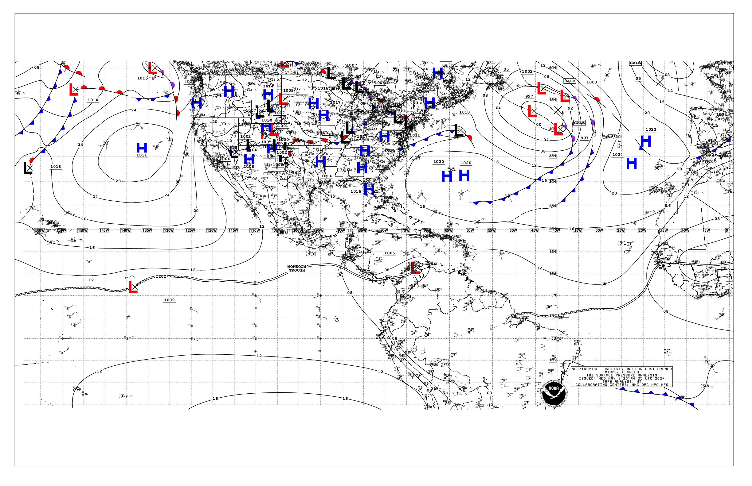
Based on 1800 UTC surface analysis and satellite imagery through
2145 UTC.

...TROPICAL WAVES...

A tropical wave axis is along 89W north of 05N to inland Honduras
and Belize. It is moving westward at 10 to 15 kt. Isolated
showers and thunderstorms are near the southern portion of the
wave and where the wave crosses the monsoon trough.

A tropical wave has its axis along 97W north of 08N to inland
southeastern Mexico. It is moving westward around 10 kt. Numerous
to isolated strong convection is west of the wave to near 106W
from 10N to 15N.

A tropical wave has its axis along 115W from 08N to 19N, moving
westward at around 15 kt. Convection associated with this wave
has diminished during the past few hours. Scattered moderate to
isolated strong convection is seen west of this wave to near
118W from 11N to 17N. Scattered moderate convection is east of
the wave to near 108W from 12N to 17N. Scatterometer satellite
data has fresh to strong east to southeast winds east of this
wave to near 110W. Seas are 7 to 9 ft with these winds.

A tropical wave is analyzed from 22N132W to 17N135W and to
12N136W. A weak 1012 mb low is along the axis near 20N as
observed on satellite imagery. These features are moving
westward at about 10 to 15 kt. No significant convection is noted
at this time.

...INTERTROPICAL CONVERGENCE ZONE/MONSOON TROUGH...Corrected

The monsoon trough extends from low pressure of 1007 mb in
northwest Colombia, west-southwestward through central Panama
and west-northwestward through southern Costa Rica. From there
it reaches the coast at 09N84W and continues to 07N96W, then
northwestward to 12N114W and southwestward to 08N120W and to
06N125W, where it transitions to the ITCZ to 05N132W and to beyond
06N140W. Numerous moderate to isolated strong convection is from 02N
to 07N west of 136W. Scattered moderate to isolated strong
convection is from 05N to 09N between 104W-111W, also within 180 nm
south of the trough between 116W-121W, and within 120 nm north of
the trough between 91W-97W. Scattered moderate convection is within
120 nm south of the trough and the ITCZ between 123W-128W, and
within 60 nm south of the trough between 98W-100W.

...OFFSHORE WATERS WITHIN 250 NM OF MEXICO...

The pressure difference between high pressure ridging over the Gulf
of America and lower pressure in southeastern Mexico, southward to
the monsoon trough over the eastern Pacific is supporting fresh to
strong gap winds in the Gulf of Tehuantepec. Seas of 8 to 9 ft have
been churned up by these winds. In the Gulf of California, moderate
to fresh south to southwest winds are over the northern portion east
of 114W due to a tighter gradient there between the thermal trough
and somewhat relatively higher pressure in western Mexico. Seas are
2 to 4 ft over the Gulf, except for slightly higher seas of 3 to 5
ft in the southern portion. Light to gentle winds are elsewhere over
the Mexican offshore waters along with seas of 5 to 7 ft in long-
period south to southwest swell.

For the forecast, the fresh to strong north to northeast gap
winds will continue in the Gulf of Tehuantepec region through
late Sun morning. Elsewhere, winds and seas across the Mexican
offshore waters should be calm through early next week. Northwest
swell is expected to move into the far northern waters off Baja
California Norte beginning early on Mon, and perhaps linger into Tue
afternoon.

....OFFSHORE WATERS WITHIN 250 NM OF CENTRAL AMERICA, COLOMBIA,
AND WITHIN 750 NM OF ECUADOR...

Fresh to strong northeast gap winds are across the Gulf of
Papagayo and off the southern coast of Nicaragua. Latest
scatterometer satellite data shows seas of 8 to 9 ft downstream
of these winds, namely from 09N to 11N between 87W and 91W.
Moderate or weaker winds are elsewhere. Seas are 7 to 9 ft in long-
period southerly swell over the equatorial waters as detected by
multiple altimeter satellite data passes, and 5 to 6 ft in southwest
swell over the remainder of the offshore waters.

For the forecast, the pressure difference between high pressure
north of the area and relatively lower pressure in the tropics
will support fresh to strong gap winds and rough seas across the
Gulf of Papagayo through early Tue. These conditions may spread
as far west as 105W through Sun night before diminishing.
Farther south, large southerly swell moving into the equatorial
waters will continue through early next week.

...REMAINDER OF THE AREA...

A weak 1012 mb low is centered along the westernmost tropical wave
near 20N133W. Fresh to strong northeast winds prevail north of the
low to 23N and between 130W and 140W. Seas with these winds are 8 to
9 ft. Elsewhere, broad ridging dominates the remainder of the area
north of 20N. The moderate pressure gradient between the ridge and
lower pressure in the vicinity of the monsoon trough/ITCZ is
resulting in moderate to fresh trade winds from 10N to 28N west of
126W, and from 11N to 21N between 115W and 126W. Fresh to strong
northeast to east winds are within 120 nm north and northeast of the
low due to a tight pressure gradient between the low and high
pressure to the north. Seas are 5 to 7 ft over these waters, except
for higher seas 6 to 9 ft from 15N to 20N west of 130W due to the
combination of long-period north to northeast swell with trade wind
generated waves. Elsewhere, winds across the open Pacific waters are
moderate or weaker. Seas are 6 to 8 ft in mixed north and southwest
swell.

For the forecast, the tropical wave near 115W is forecast to
undergo possible gradual development during the next few days
and a tropical depression could form around the middle of next
week while the wave moves generally westward to west-northwestward.
Environmental conditions are forecast to become less conducive
for development by the second half of the week as the system
moves over the western portion of the eastern North Pacific.
Outside of this system, little change in winds are expected for the
next several days. Large southerly swell moving through the far
south-central waters is expected to begin to decay during the early
part of the upcoming week.

$$
Aguirre


 NHC on Facebook
 NHC on X
 NHC on YouTube
 NHC Blog: