000
AXPZ20 KNHC 071933
TWDEP

Tropical Weather Discussion
NWS National Hurricane Center Miami FL
2205 UTC Tue Jul 7 2026

Tropical Weather Discussion for the eastern Pacific Ocean from
03.4S to 30N, east of 120W including the Gulf of California, and
from the Equator to 30N, between 120W and 140W. The following
information is based on satellite imagery, weather observations,
radar, and meteorological analysis.

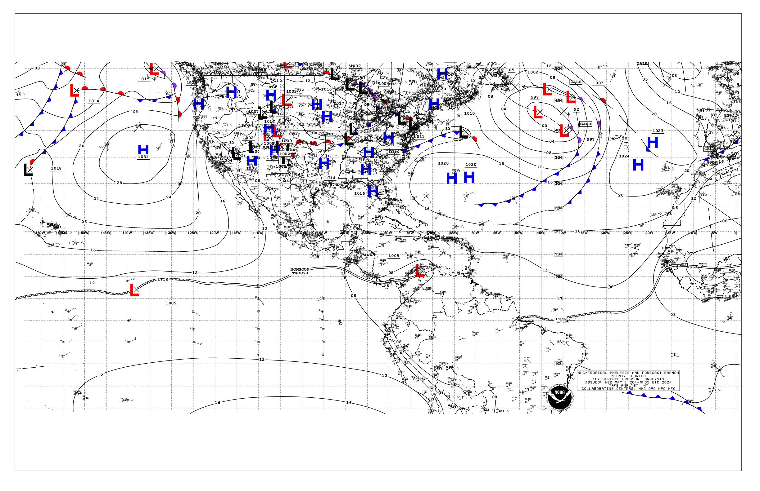
Based on 1800 UTC surface analysis and satellite imagery through
1900 UTC.

...TROPICAL WAVES...

A tropical wave is analyzed along 81W to the north of 06N, moving
westward around 15 kt. Any nearby convection is described in the
monsoon trough/ITCZ section below.

A tropical wave is analyzed along 129W from 02N to 16N, moving
westward at around 10 kt. Any nearby convection is described in
the monsoon trough/ITCZ section below.

...INTERTROPICAL CONVERGENCE ZONE/MONSOON TROUGH...

The monsoon trough axis extends from 10N75W to 06N91W. The ITCZ
extends from 06N91W to 09N106W to 05N120W to 07N128W, then
resumes W of a tropical wave from 07N131W to 09N138.5W.
Scattered moderate convection is active from 02.5N to 05.5N
between 80W and 84W, and from 08N to 13N between 135W and 140W.
Scattered moderate isolated strong convection is active from 04N
to 09N between 95W and 115W, and from 03N to 14N between 116W and
134W. Similar convection is active from 12N to 14N between 98W
and 103W.

...OFFSHORE WATERS WITHIN 250 NM OF MEXICO...

A ridge extends across the waters W of 110W. Surface troughing
is found from NW to SE across the Gulf of California. This
pressure pattern supports moderate to fresh winds offshore Baja
California mainly from Punta Eugenia northward. A small plume of
fresh to strong gap winds is found in the Gulf of Tehuantepec.
Winds are moderate or weaker elsewhere. Seas are mainly 4-7 ft
across the offshore waters in S to SW swell, except mixed with NW
swell offshore Baja California. Seas are 1-3 ft in the Gulf of
California N of the entrance. Active convection is present
offshore southern and SW Mexico as described above.

For the forecast, the ridging will persist off Baja California
through mid week, with lower pressure inland over northwest
Mexico. This pattern will support fresh to occasionally strong NW
winds off Baja California Norte through Wed night, with rough
seas in NW swell near Guadalupe Island. These winds will diminish
Thu, as low pressure moves off the Pacific into the lower
Colorado River Valley. This will result in fresh to strong S
winds and rough seas late Thu into Fri over the Gulf of
California. Fresh to strong northerly gap winds will pulse in the
Gulf of Tehuantepec through the week. Looking ahead, lowering
pressure across the tropical eastern Pacific will induce fresh to
strong winds and occasionally rough seas offshore southern Mexico
by the weekend.

....OFFSHORE WATERS WITHIN 250 NM OF CENTRAL AMERICA, COLOMBIA,
AND WITHIN 750 NM OF ECUADOR...

A wide plume of fresh to strong NE to E gap winds persist across
the Papagayo region and extend offshore to near 93W, where seas
are 6-9 ft. Moderate to locally fresh winds are elsewhere to the
N of 08.5N. Moderate N to NE winds are in the Gulf of Panama
downwind to near 04N82W. Moderate SE winds are across the
offshore waters of the Galapagos Islands, where seas are 6-9 ft
in SW swell. Light to gentle winds are across the remainder of
the waters, along with 4-7 ft mainly in SW swell.

For the forecast, fresh to strong NE-E gap winds will pulse in the
Gulf of Papagayo region into early Thu along with rough seas,
then moderate to fresh winds thereafter. Cross equatorial SW
swell will move through the waters off Ecuador and the Galapagos
Islands through Wed, with seas peaking around 9 ft. The
combination of the southerly swell with shorter period seas
associated with gap winds will allow combined seas to build to a
peak of about 8 ft offshore of northern Central America through
Wed. Gentle to moderate breezes and slight to moderate seas will
persist elsewhere, with locally fresh N winds in the Gulf of
Panama tonight. Looking ahead, lowering pressure across the
tropical eastern Pacific will induce fresh to strong winds and
occasionally rough seas offshore El Salvador and Guatemala by
the end weekend.

...REMAINDER OF THE AREA...

A trough, the remnant of Douglas, is along 136W from 23N to 29N.
Elsewhere, a broad ridge dominates the waters north of 16N,
supporting moderate NE winds and 5-7 ft seas in a mix of N and SW
swell. Fresh NE winds and seas to 9 ft are also noted farther S
ahead of the tropical wave near 129W, specifically from 10N to
20N between 125W and 135W. Scattered showers and thunderstorms
are ongoing near a surface trough between 136W and 140W along
with fresh to strong winds within 90 nm of the trough. Rough seas
are likely accompanying the strong winds. Gentle to moderate
breezes are noted elsewhere. Long period SW swell to 8 ft is
reaching 05N between 90W and 120W. Combined seas are mainly 5-7
ft elsewhere.

For the forecast, strong winds and rough seas will follow the
trough near 140W until it moves W of the discussion waters
overnight. Strong winds and rough seas will also accompany the
tropical wave near 129W at it moves westward at 15 to 20 kt,
reaching 135W by Wed night, and past 140W by late Fri. Farther
N, swell of 8-9 ft will persist north of 25N to the E of 125W
through Fri. Farther S, large swell to 7-8 ft will persist south
of 05N or so between 95W and 120W through Fri.

$$
Lewitsky


 NHC on Facebook
 NHC on X
 NHC on YouTube
 NHC Blog: