000
AXPZ20 KNHC 171542
TWDEP

Tropical Weather Discussion
NWS National Hurricane Center Miami FL
1605 UTC Sat Oct 17 2026

Tropical Weather Discussion for the eastern Pacific Ocean from
03.4S to 30N, east of 120W including the Gulf of California, and
from the Equator to 30N, between 120W and 140W. The following
information is based on satellite imagery, weather observations,
radar, and meteorological analysis.

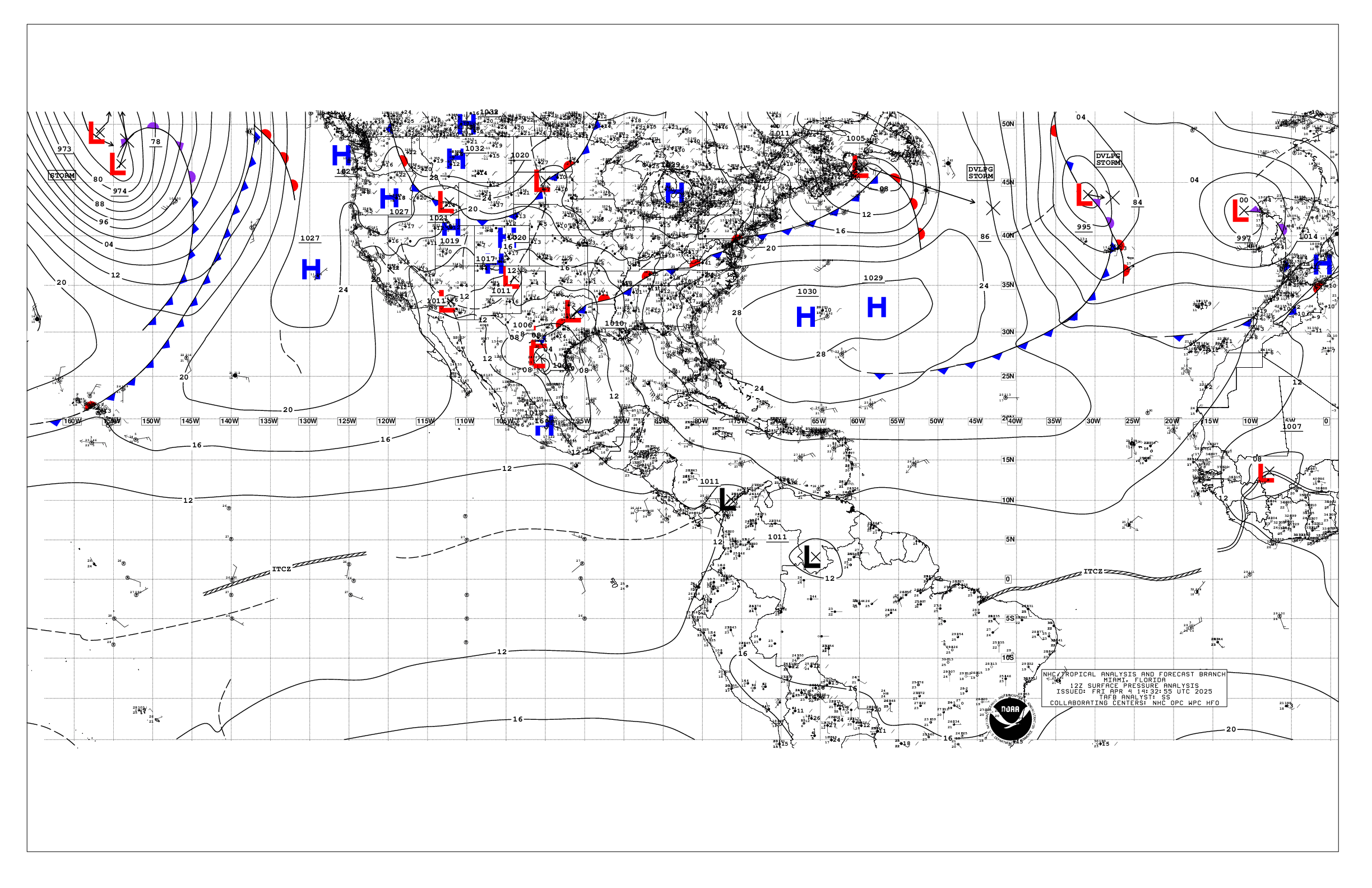
Based on 1200 UTC surface analysis and satellite imagery through
1530 UTC.

...SPECIAL FEATURES...

Hurricane Trudy is centered near 16.6N 103.9W at 17/1500 UTC,
moving northwest at 9 kt. Estimated minimum central pressure is
979 mb. Maximum sustained wind speed is 80 kt with gusts to 100
kt. Peak seas are 34 ft. Numerous strong convection is within 120
nm of the center. A general NW motion is forecast to continue
through Sunday. On the forecast track, the center of Trudy will
approach the coast of southwestern and west-central Mexico today
and pass near the coast tonight into Sunday. Some strengthening
remains possible today, followed by weakening beginning by
Sunday. Swells generated by Trudy are affecting portions of the
coast of southwestern Mexico and will spread northward toward
west-central Mexico through the weekend. These swells will cause
life- threatening surf and rip current conditions. Please consult
products from your local weather office.

Please read the latest HIGH SEAS FORECAST issued by the National
Hurricane Center at website -
https://www.nhc.noaa.gov/text/MIAHSFEP2.shtml and the latest NHC
Forecast/Advisory and Public Advisory at www.hurricanes.gov for
more details on Trudy.

Gale Warning: High pressure building into Mexico is forcing
near- gale force northerly winds southward into the Gulf of
Tehuantepec, building seas to 8 to 11 ft. Gales are developing
this morning, and should continue through Tue night, with peak
winds nearing 45 kt this afternon and tonight, along with seas of
up to 20 ft through Sun night.

...INTERTROPICAL CONVERGENCE ZONE/MONSOON TROUGH...

The monsoon trough extends from 10N85W to 08N89W and to 10N94W
and then from 12N101W to 09N115W and to 05N129W. The ITCZ
stretches from 05N131W to beyond 05N140W. Scattered moderate to
isolated strong convection is found south of 13N and east of
95W. Numerous moderate to scattered strong convection is present
from 01N to 08N and between 105W and 122W.

...OFFSHORE WATERS WITHIN 250 NM OF MEXICO...

Please see the Special Features section above for information on
Hurricane Trudy and the Gale Warning for the Gulf of
Tehuantepec.

Away from Hurricane Trudy and the Gulf of Tehuantepec, the
remnants of Simon are producing moderate to fresh winds and
rough seas. Moderate to locally fresh winds are also present in
the Gulf of California. Seas in these waters are 2-5 ft.
Elsewhere, moderate or weaker winds and slight to moderate seas
prevail.

For the forecast, Hurricane Trudy will move to 17.1N 104.2W this
afternoon, 18.6N 105.4W Sun morning approaching Cabo Corrientes,
19.7N 106.1W Sun afternoon, 20.5N 106.9W Mon morning, weaken to
a tropical storm near 20.7N 107.4W Mon afternoon, and 20.9N
108.1W Tue morning. Trudy will weaken to a remnant low over 21.1N
109.3W early Wed over the entrance to the Gulf of California. In
addition to Trudy, a Gulf of Tehuantepec gap wind event is
ongoing. This early-season Tuhuantepecer should reach gale-force
northerlies this morning and likely persist through Tue night,
before gradually diminishing on Wed. Looking ahead, an area of low
pressure is forecast to form offshore of southern Mexico during the
early to middle part of next week. Environmental conditions appear
conducive for gradual development thereafter, and a tropical
depression is likely to form during the latter half of next week
while it moves generally westward to west- northwestward over the
eastern and central portions of the East Pacific. Formation chance
is low through 48 hours, and high through 7 days.

...OFFSHORE WATERS WITHIN 250 NM OF CENTRAL AMERICA, COLOMBIA,
AND WITHIN 750 NM OF ECUADOR...

Gentle to moderate winds are prevalent across the offshore
waters. However, stronger winds are found near the thunderstorms
in the offshore waters of Central America and Colombia. Seas of
6-8 ft are noted between Ecuador and the Galapagos Islands
associated with a long- period cross-equatorial swell. Seas of
3-6 ft elsewhere.

For the forecast, a strong early-season Tehuantepecer gap wind
event will cause fresh to locally strong NE winds over the W
portion of the Guatemala and El Salvador zone tonight and Sun.
Large to very large seas from mixed NW swell from the
Tehuantepecer and SW swell from the Southern Hemisphere will also
impact this zone from tonight through Tue night. Large SW swell
is impacting the equatorial zones now through Sat night. Finally,
scattered showers and isolated thunderstorms will continue to
impact the offshore waters from Guatemala through Colombia over
at least the next few days.

...REMAINDER OF THE AREA...

A 1030 mb high pressure system centered near 37N147W extends
southeastward to the remainder of the tropical eastern Pacific
waters. A recent scatterometer satellite pass depicts moderate
to locally fresh easterly trade winds north of 06N and west of
120W. Seas in these waters are 6-8 ft. Moderate to locally fresh
southerly winds and rough seas are found south of the monsoon
trough and east of 125W. Elsewhere, moderate or weaker winds and
moderate to locally rough seas prevail.

For the forecast, little change in winds is expected during the next
few days. The large SW swell in our southern waters will gradually
diminish by Sun. Looking ahead, a weak cold front should reach our
northern border on Tue. Moderate to locally strong northerly winds
will follow the front, diminishing Wed night. Large NW swell will
also accompany the front producing rough to very rough seas,
subsiding by late next week.

$$
Konarik


 NHC on Facebook
 NHC on X
 NHC on YouTube
 NHC Blog: