000
AXPZ20 KNHC 120229
TWDEP

Tropical Weather Discussion
NWS National Hurricane Center Miami FL
0405 UTC Wed Aug 12 2026

Tropical Weather Discussion for the eastern Pacific Ocean from
03.4S to 30N, east of 120W including the Gulf of California, and
from the Equator to 30N, between 120W and 140W. The following
information is based on satellite imagery, weather observations,
radar, and meteorological analysis.

Based on 0000 UTC surface analysis and satellite imagery through
0200 UTC.

...SPECIAL FEATURES...

Western East Pacific (EP99): A well-defined low pressure system
located about midway between Hawaii and the west coast of Mexico
is producing some shower and thunderstorm activity. Any
significant increase in the organization of the showers and
thunderstorms would result in the formation of a tropical
depression later today or on Wednesday. The system is forecast to
move northwestward at 5 to 10 mph over the next couple of days
and encounter less favorable environmental conditions late this
week. There is a high chance for tropical cyclone formation in
the next 24 hours.

Central Pacific (CP93): Recent satellite imagery indicates that
a well- defined low- level center has formed in association with
the low pressure system located about 1050 miles east-southeast
of the Hawaiian Islands. However, the shower and thunderstorm
activity remains disorganized. Environmental conditions are
conducive for further development, and a tropical depression or
storm is expected to form on Wednesday while the system moves
generally west- northwestward at around 15 mph. Interests in the
Hawaiian Islands should closely monitor the progress of this
system. There is a high chance for tropical cyclone formation in
the next 24 hours.

...TROPICAL WAVES...

The axis of a tropical wave is near 87W north of 06N through
Central America into the NW Caribbean, moving west at 10 to 15
kt. Nearby convection is discussed in the ITCZ/monsoon trough
section below.

The axis of a tropical wave is near 117W from 02N to 18N, moving
westward at 10 to 15 kt. Nearby convection is discussed in the
ITCZ/monsoon trough section below.

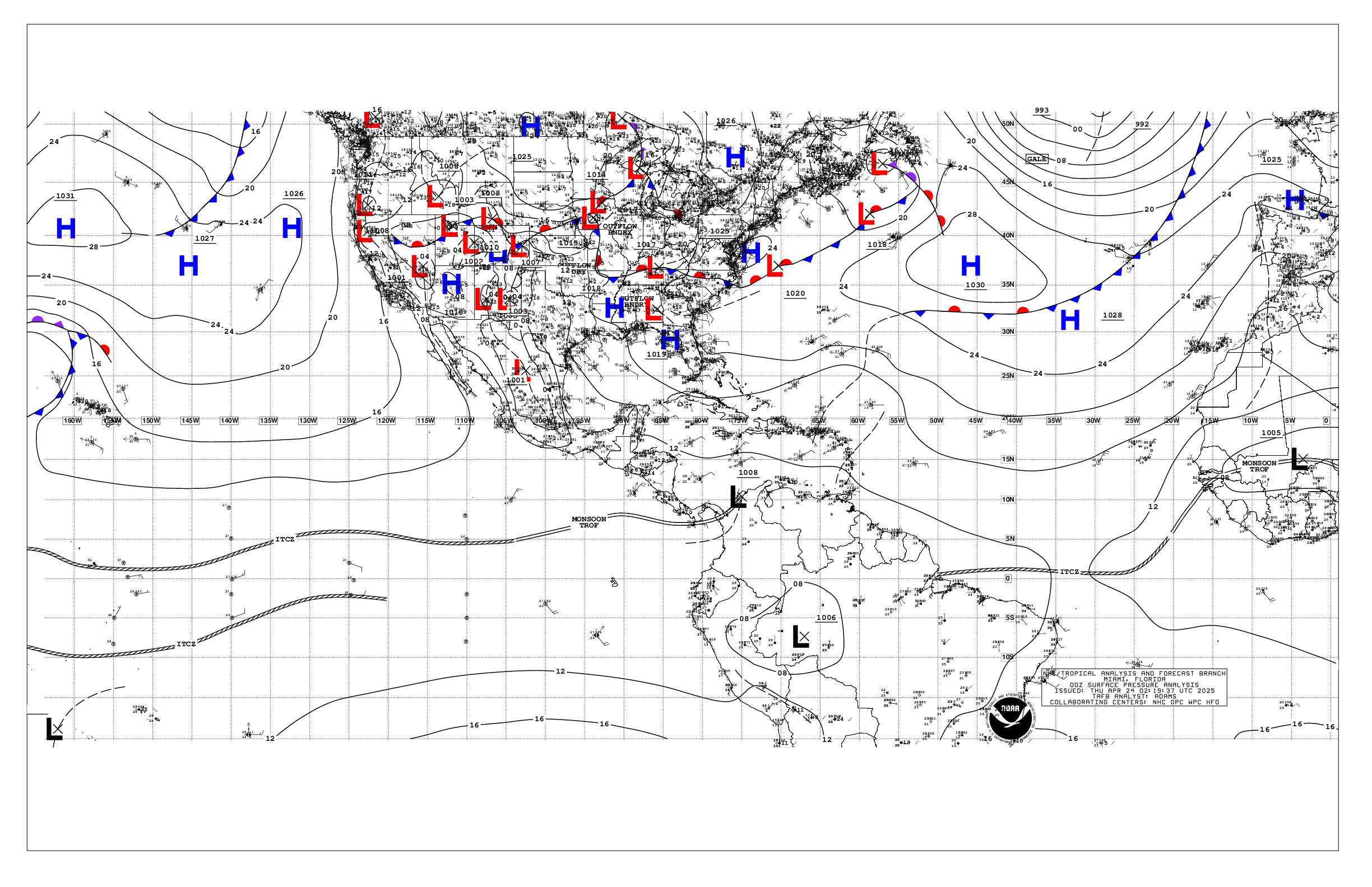
...INTERTROPICAL CONVERGENCE ZONE/MONSOON TROUGH...

The monsoon trough extends from 08N78W to 08N115W, and from
15N125W to 1004 mb low pressure near 15N139W. Scattered moderate
convection is from 05N to 09N between 85W and 100W, from 08N to
14N between 100W and 110W, and from 10N to 18N between 130W and
140W.

...OFFSHORE WATERS WITHIN 250 NM OF MEXICO...

Fresh to near- gale force winds, and rough seas, prevail over the
Gulf of Tehuantepec. Gentle to moderate winds are found
elsewhere. Moderate seas are elsewhere over the open waters off
Mexico, with slight to moderate seas over the Gulf of California.

For the forecast, fresh to strong gap winds and rough seas are
expected across the Gulf of Tehuantepec through the middle of
the week. Winds will then briefly diminish through the end of
the week before strengthening again this weekend. The pressure
gradient between high pressure W of the area and lower pressures
over northern Mexico will support moderate to locally fresh
southerly winds across the northern Gulf of California Wed night
into Thu. A moderate pressure gradient will promote mostly
gentle to moderate winds across the remainder offshore waters of
Mexico along with moderate seas.

...OFFSHORE WATERS WITHIN 250 NM OF CENTRAL AMERICA, COLOMBIA,
AND WITHIN 750 NM OF ECUADOR...

Fresh to strong E gap winds, and moderate to locally rough seas,
persist across and downstream the Gulf of Papagayo. Gentle to
moderate winds and moderate seas in SW swell prevail elsewhere.

For the forecast, moderate to fresh NE to E gap winds and occasionally
rough seas will pulse across the Papagayo region. Gentle to
moderate winds will prevail between the Galapagos Islands and
Ecuador. Southerly swell will bring rough seas to these waters
Sun. Light to gentle winds and moderate seas in SW swell are
expected elsewhere. The Telica volcano in Nicaragua, located
near 12.6N 86.8W, is producing a plume of volcanic ash that
reaches offshore to near 12N88W. Mariners should exercise
caution over these waters. In the event mariners encounter
volcanic ash, they are encouraged to report the observation to
the National Hurricane Center by calling 305-229-4425.

...REMAINDER OF THE AREA...

Broad ridging dominates the waters north of 20N. The pressure
gradient between this area of high pressure and low pressure
within the monsoon trough is supporting a large swath of fresh to
strong winds N of the monsoon trough to near 20N and west of
125W. Fresh to strong winds are also noted south of the monsoon
trough and west of 135W. Rough seas cover these waters.
Convergence with the broad area of fresh to strong winds is
generating a large area of disorganized showers and
thunderstorms. Gentle to moderate winds, and moderate seas
prevail elsewhere.

For the forecast, winds and seas are forecast to increase across
the west- central portion of the forecast region by the middle
part of the week as a potential tropical cyclone develops, as
discussed in the Special Features section above.

$$
Christensen


 NHC on Facebook
 NHC on X
 NHC on YouTube
 NHC Blog: