000
AXPZ20 KNHC 092052
TWDEP

Tropical Weather Discussion
NWS National Hurricane Center Miami FL
2205 UTC Mon Nov 9 2026

Tropical Weather Discussion for the eastern Pacific Ocean from
03.4S to 30N, east of 120W including the Gulf of California, and
from the Equator to 30N, between 120W and 140W. The following
information is based on satellite imagery, weather observations,
radar, and meteorological analysis.

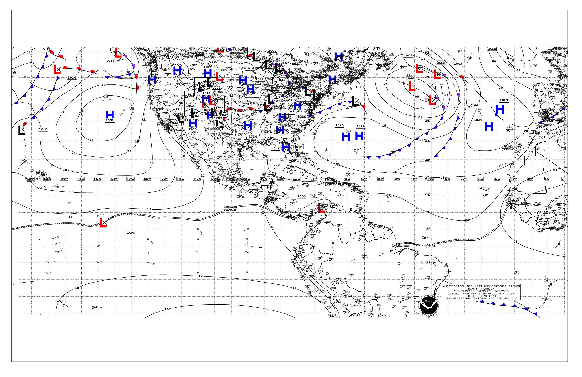
Based on 1800 UTC surface analysis and satellite imagery through
2030 UTC.

...INTERTROPICAL CONVERGENCE ZONE/MONSOON TROUGH...

The monsoon trough extends from 11N73W to 09N89W to 07.5N92W.
The ITCZ stretches from 07.5N92W to 04.5N108W to 09.5N121W.
Scattered moderate convection is noted south of 00N E of 93W.
Scattered moderate isolated strong convection is observed from
02N to 06N between 98W and 110W and south of 03N between 123W and
132W. Scattered to numerous moderate isolated strong convection
is noted from 08N to 15N and between 115W and 134W, and from 00N
to 10.5N west of 136W.

...OFFSHORE WATERS WITHIN 250 NM OF MEXICO...

High pressure remains centered west of the area along 138W, with
a ridge extending east and then southeastward into the area
waters near the Revillagigedo Islands. This pattern is
supporting moderate northerly winds across the Baja Norte waters
and gentle winds south of Punta Eugenia. Seas are 6-8 ft in NW
swell across the Baja waters, except to 9 to 10 ft in new NW
swell northwest of Isla Guadalupe. Moderate to locally fresh
northerly winds generally prevail across the far northern Gulf
of California, with winds gentle elsewhere. Seas in the NW Gulf
are 3 to 4 ft, and 3 ft or less elsewhere. Light to gentle
winds prevail across the remainder of the Mexican offshore
waters from Cabo Corrientes to Puerto Angel. Recent satellite
altimeter satellite data showed seas of 4 to 7 ft in mixed NW and
SW swell across this area. High pressure extending across the
Gulf of America continues to force fresh to strong northerly
winds and seas of to 8 ft ft across the Gulf of Tehuantepec and
extending southward to 14N.

For the forecast, fresh northerly winds and rough seas around 8
ft will pulse to strong at night across the Gulf of Tehuantepec
through The remainder of the week. Strong gap winds to near gale
force are expected Tue night. Rough seas in NW swell will
continue across the Baja offshore waters through Tue as new swell
arrives tonight, then begin to diminish Tue night through Thu.
Looking ahead, fresh to strong winds and rough seas approaching
12 ft are expected to reach the offshore waters of Baja California
on Fri, associated with a frontal system, with yet larger NW
swell arriving Sat.

...OFFSHORE WATERS WITHIN 250 NM OF CENTRAL AMERICA, COLOMBIA,
AND WITHIN 750 NM OF ECUADOR...

A weakening 1010 mb low pressure, Invest EP96, is located near
10N91W, or about 240 nm south of Chiapas, Mexico. Scattered
light showers are occurring within 75 nm across the northeastern
semicircle of this system, and continue to diminish in coverage
and intensity. Fresh to locally strong NE to E winds and seas to
8 ft prevail within 120 nm N of the center. Strong wind shear
will continue to weaken this low, and it is expected to open up
into a trough tonight. To the east of the low, fresh easterly
gap winds extend from the Papagayo region to near the low, where
seas are 4 to 6 ft. Strong convection across the Central American
waters and coasts of the past few days has ended. Elsewhere,
winds are moderate or weaker with seas 4-6 ft in mixed SW and W
swell. Clusters of scattered showers and isolated thunderstorms
are seen from the equator southward to 04S, and east of 93W and
the Galapagos Islands to the coast of Ecuador.

For the forecast, the low center, EP96, will move westward over
the next few days, while weakening to a trough tonight. The
threat of widespread heavy rainfall associated with that system
appears to have ended. Meanwhile, fresh to locally strong
easterly trade winds will funnel across the Papagayo region and
extend to 90W through Wed night then weaken into the weekend.
Moderate to locally fresh winds will pulse in the western Gulf
of Panama through Wed morning. Otherwise, moderate or weaker
winds, and moderate seas in mixed SW to W swell, will prevail.

...REMAINDER OF THE AREA...

A broad subtropical ridge centered on a 1023 mb high near
30N138W dominates the eastern Pacific basin, and supports
moderate to fresh easterly winds between 10N and 25N, and west
of 120W. Seas N of 10N and W of 120W are 8 to 12 ft in NW swell.
A broad surface trough from 10N132W to 16N119W is producing
scattered to numerous moderate isolated strong convection from
08N to 15N and between 115W and 134W, where fresh winds prevail.
Meanwhile, moderate to fresh SE winds and seas to 9 ft are
occurring south of 03N between 100W and 120W. Elsewhere,
moderate or weaker winds and moderate seas prevail.

For the forecast, the surface ridge will amplify some, increasing
the trades to fresh from 10N-25N west of 125W tonight into Wed.
New large NW swell moving into the north and western waters today
will reach from 10N140W to the Revillagigedo Islands by Tue
night. The mixed swell over the equatorial waters will persist
for the next several days. Looking ahead, a strong cold front
will reach our NW border at 30N140W by midday Wed, bringing with
it fresh to strong NW winds and very large seas in NW swell north
of 20N through the end of the week. Even larger reinforcing NW
swell may arrive Fri afternoon or evening to the NW waters,
possibly in excess of 20 ft.

$$
Stripling


 NHC on Facebook
 NHC on X
 NHC on YouTube
 NHC Blog: