000
AXPZ20 KNHC 062100
TWDEP

Tropical Weather Discussion
NWS National Hurricane Center Miami FL
2205 UTC Fri Nov 6 2026

Tropical Weather Discussion for the eastern Pacific Ocean from
03.4S to 30N, east of 120W including the Gulf of California, and
from the Equator to 30N, between 120W and 140W. The following
information is based on satellite imagery, weather observations,
radar, and meteorological analysis.

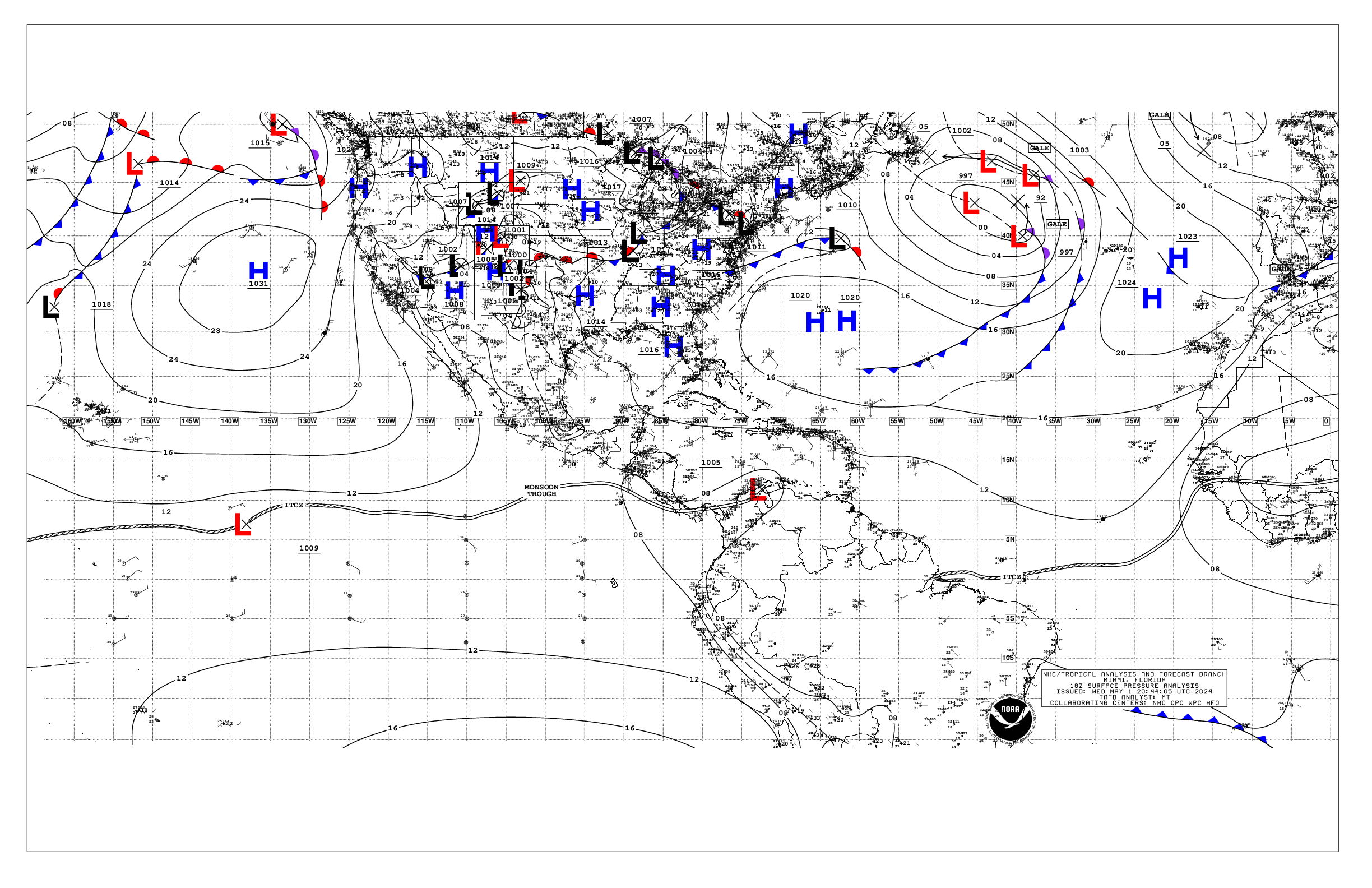
Based on 1800 UTC surface analysis and satellite imagery through
2030 UTC.

...SPECIAL FEATURES...

Low pressure Offshore Central America and Associated Heavy
Rainfall Potential: Abundant tropical moisture associated with
the monsoonal circulation across the region, and favorable
conditions aloft, will continue to result in numerous showers and
scattered thunderstorms persisting across the regional waters N
of 05N and E of 91W, and will affect parts of Central America.
The heaviest precipitation during the past 6 hours hours has
occurred across portions of Panama, NW Costa Rica, coastal
Nicaragua, and the adjacent Pacific waters. This rainfall is
expected to continue this afternoon across Nicaragua and Costa
Rica and may continue through the weekend. At the surface,
satellite data suggests that a 1009 mb surface low is along the
monsoon trough near 10.5N89W, with peak winds of 20 kt. The low
is expected to drift east-northeastward this afternoon and
tonight, which may enhance rainfall across Nicaragua and Costa
Rico. A tropical depression could still form over the weekend
when the low begins to drift slowly westward and offshore. Upper-
level winds should prevent further development after the
weekend. This system has a medium chance of tropical cyclone
formation in the next 7 days. Please refer to the latest NHC
Tropical Weather Outlook at website -
https://www.hurricanes.gov/text/MIATWOEP.shtml for more details.
Regardless of tropical development, heavy rainfall may lead to
life-threatening flash flooding and landslides. Please refer to
your local weather agency and the International Desk at the
Weather Prediction Center for more details on rainfall potential.

...INTERTROPICAL CONVERGENCE ZONE/MONSOON TROUGH...

The monsoon trough extends from 10N75W to 11.5N84.5W to low
pressure near 10.5N89W 1009 mb to 07N100W to low pressure near
10.5N116.5W 1011 mb to 08.5N122.5W. The ITCZ stretches from
08.5N122.5W to beyond 09N140W. Numerous moderate isolated strong
convection is observed from 04N to 13N and east of 95W.
Scattered moderate convection is noted south of 03N and east of
85W, south of 01N between 118W and 135W, and from 09N to 13.5N
west of 114W.

...OFFSHORE WATERS WITHIN 250 NM OF MEXICO...

A 1028 mb high pressure system near 33N135W extends a ridge
southeastward to the Revillagigedo Islands, while elongated low
pressure prevails across the Gulf of California and the Baja
California Peninsula. Recent satellite scatterometer data showed
gentle to moderate N to NW winds across the offshore waters of
Baja California, with locally fresh winds near Punta Eugenia.
Northwesterly swell is producing seas of 6-8 ft in these waters,
except to 9 ft NW and W of Isla Guadalupe. Gentle to moderate
northerly winds prevail inside the northern Gulf of California,
with light and variable winds across southern portions. Moderate
or weaker W to NW winds and slight to moderate seas in mixed SW
and NW swell prevail elsewhere across the Mexican offshore
waters. However, fresh northerly gap winds have commenced across
the Gulf of Tehuantepec.

For the forecast, a series of pulses of moderate to large NW
swell will continue to impact the Baja California waters into
early next week, producing periods of rough seas up to 12 ft
across the NW zones. Meanwhile, a tightening pressure gradient
will result in fresh to strong northerly winds and rough seas in
the Gulf of Tehuantepec starting this evening and continuing into
early next week. Fresh to locally strong northerly winds are
also expected in the northern Gulf of California tonight through
Sun morning.

...OFFSHORE WATERS WITHIN 250 NM OF CENTRAL AMERICA, COLOMBIA,
AND WITHIN 750 NM OF ECUADOR...

Please see Special Features section above for information on low
pressure offshore Nicaragua that has potential for tropical
development, and contributing to the heavy rainfall threat over
portions of Central America.

A broad area of low pressure is centered over the eastern
Tropical Pacific waters east of 94W and extends into Central
America. A 1009 mb low center is offshore of Nicaragua and El
Salvador near 10.5N89W, and is drifting east-northeastward.
Abundant tropical moisture is entrained in this monsoonal
circulation, and is resulting in numerous showers and scattered
thunderstorms across the regional waters from the coastal waters
of Colombia to El Salvador. Recent satellite scatterometer data
showed mostly gentle to moderate cyclonic winds N of 10N, and
gentle to moderate SW to W winds south of 10N and into coastal
Colombia. Fresh SW winds were noted across the outer waters west
of 87W. Seas are 4-7 ft in SW swell across these waters, except
higher near thunderstorms.

For the forecast, aside from the low pressure area with potential
for tropical cyclone formation, gentle to moderate winds and
moderate seas will prevail into early next week, as the low
pressure meanders offshore of Nicaragua and El Salvador through
the weekend. Winds may increase to fresh offshore of the Gulf of
Papagayo and Nicaragua Sat night through Sun as the low begins to
shift westward away from the coast. Heavy rainfall remains the
most significant impact across both the regional waters and land
areas.

...REMAINDER OF THE AREA...

The tight pressure gradient between the aforementioned subtropical
ridge centered north of the area and lower pressures in the deep
tropics results in fresh to locally strong NE to E winds from 10N
to 28N and west of 120W. NW swell moving through these waters is
producing seas of 8-11 ft. Meanwhile, moderate to fresh SE winds
and seas of 6-8 ft are present in the waters south of the
equator and west of 105W. Elsewhere, moderate or lighter winds
and seas of 6-8 ft prevail.

For the forecast, moderate to locally strong trades will prevail
over the west-central waters through today, followed by moderate
to fresh winds west of 120W into early next week. Several pulses
of NW swell will impact the waters north of 10N through the next
several days, with rough to very rough seas to 12 ft and greater
expected across the northern waters. Cross- equatorial swell
will continue to produce rough seas close to the equator over the
next several days, possibly lingering into early next week.

$$
Stripling


 NHC on Facebook
 NHC on X
 NHC on YouTube
 NHC Blog: