312
AXPZ20 KNHC 040841
TWDEP

Tropical Weather Discussion
NWS National Hurricane Center Miami FL
1005 UTC Wed Nov 4 2026

Tropical Weather Discussion for the eastern Pacific Ocean from
03.4S to 30N, east of 120W including the Gulf of California, and
from the Equator to 30N, between 120W and 140W. The following
information is based on satellite imagery, weather observations,
radar, and meteorological analysis.

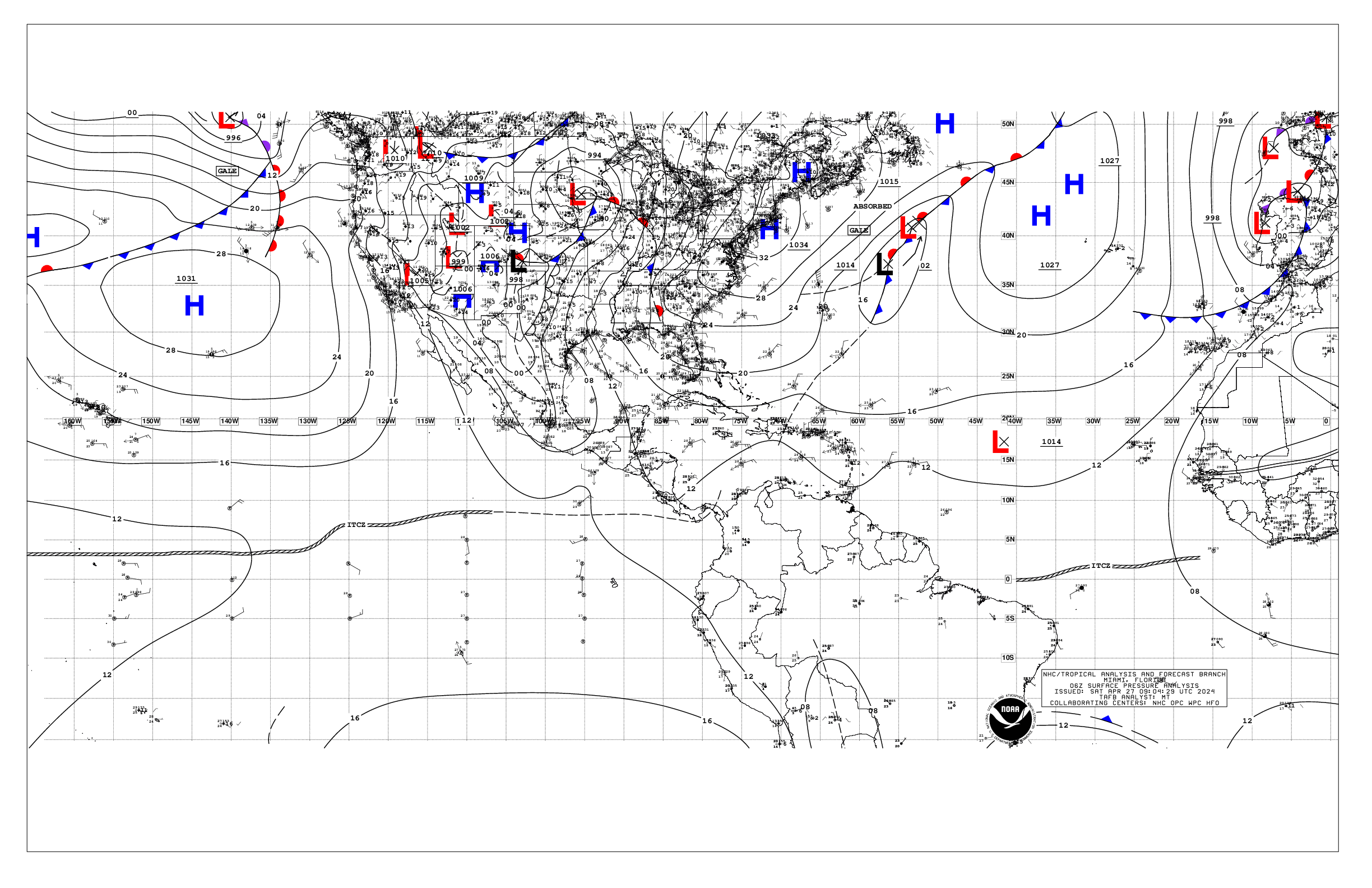
Based on 0600 UTC surface analysis and satellite imagery through
0800 UTC.

...SPECIAL FEATURES...

Heavy Precipitation across Central America: Deep-layer troughing
over the northwestern Caribbean extends southwestward across
northern portions of Central America and into the tropical
eastern Pacific. This feature will interact with enhanced low-
level moisture and onshore flow south of the monsoon trough over
the next several days. This will favor heavy precipitation
developing across Central America starting today and lasting
through Friday. The heaviest precipitation is expected across
southern and western portions of Costa Rica, Panama, and southern
Nicaragua, with the bulk of precipitation occurring today through
Thursday. Heavy rainfall may lead to life-threatening flash
flooding and landslides. Please refer to your local weather
agency and the International Desk at the Weather Prediction
Center for more details.

Well Southeast of the Hawaiian Islands (EP95): A broad area of
low pressure located over the western portion of the East Pacific
basin is producing some disorganized shower and thunderstorm
activity. Environmental conditions appear conducive for gradual
development of this system, and a tropical depression is likely
to form over the Central Pacific basin during the next few days
while it moves westward to west-northwestward at 10 to 15 mph.

...INTERTROPICAL CONVERGENCE ZONE/MONSOON TROUGH...

The monsoon trough extends from 11N73W to low pressure near
08N91W to 05N116W to low pressure near 08N137W beyond 06N140W.
Numerous moderate to isolated strong convection is noted from 00N
to 12N E of 96W and from 02N to 13N W of 110W.

...OFFSHORE WATERS WITHIN 250 NM OF MEXICO...

Moderate to fresh NW winds are pressure in the offshore waters of
Baja California due to high pressure building SE toward the
region. Seas in these waters are 6 to 8 ft. Elsewhere, across the
Mexican offshore waters, gentle winds prevail, with moderate
seas in SW swell, except for the Gulf of California, where slight
seas dominate.

For the forecast, high pressure W of Baja California will
maintain a ridge across the region, supporting moderate to fresh
NW winds across the Baja Norte waters through tonight. Large NW
swell will impact the Baja waters through Thu. The next pulse of
large NW swell will reach the Baja waters beginning early Fri.

...OFFSHORE WATERS WITHIN 250 NM OF CENTRAL AMERICA, COLOMBIA,
AND WITHIN 750 NM OF ECUADOR...

Low pressure of 1008 mb is along the monsoon trough near
08N91W. A broad zone of moderate to locally fresh S winds is
noted E of this low offshore Nicaragua and Costa Rica, along with
numerous moderate to isolated strong convection. This extends
southward to near the Galapagos Islands. Otherwise, winds are
light to gentle, with moderate seas.

For the forecast, the low pressure offshore Nicaragua is forecast
to drift northward and has some potential for gradual
development. A tropical depression may form by this weekend.
There is a low chance of tropical formation over the next 48
hours and a medium chance in the next 7 days. Regardless of
development, heavy rainfall is likely over portions of Central
America for the remainder of the week. See the Special Features
section above for details on this heavy rainfall potential.

...REMAINDER OF THE AREA...

See Special Features Section above for information on low
pressure in the far western basin that has a potential for
tropical development.

A dissipating stationary front extends from 30N124W to 28N130W.
Little sensible weather remains associated with this boundary,
which should fully dissolve later today. The pressure gradient
between high pressure building in from the north and lower
pressure along the monsoon trough is leading to widespread
moderate to fresh NE to E winds across waters N of the monsoon
trough and E of 120W. Long period NW swell and wind-waves are
combining to create rough seas over the same area. Elsewhere,
light to gentle winds prevail, with moderate seas

For the forecast, NW swell will continue spreading through the
region through tonight, while reinforcing new NW swell will start
to arrive by early Thu. Looking ahead, on Fri and Sat merging NW
and SE swell may produce 8-9 ft seas close to the equator.

$$
Konarik


 NHC on Facebook
 NHC on X
 NHC on YouTube
 NHC Blog: