000
AXPZ20 KNHC 250200
TWDEP

Tropical Weather Discussion
NWS National Hurricane Center Miami FL
0405 UTC Mon May 25 2026

Tropical Weather Discussion for the eastern Pacific Ocean from
03.4S to 30N, east of 120W including the Gulf of California, and
from the Equator to 30N, between 120W and 140W. The following
information is based on satellite imagery, weather observations,
radar, and meteorological analysis.

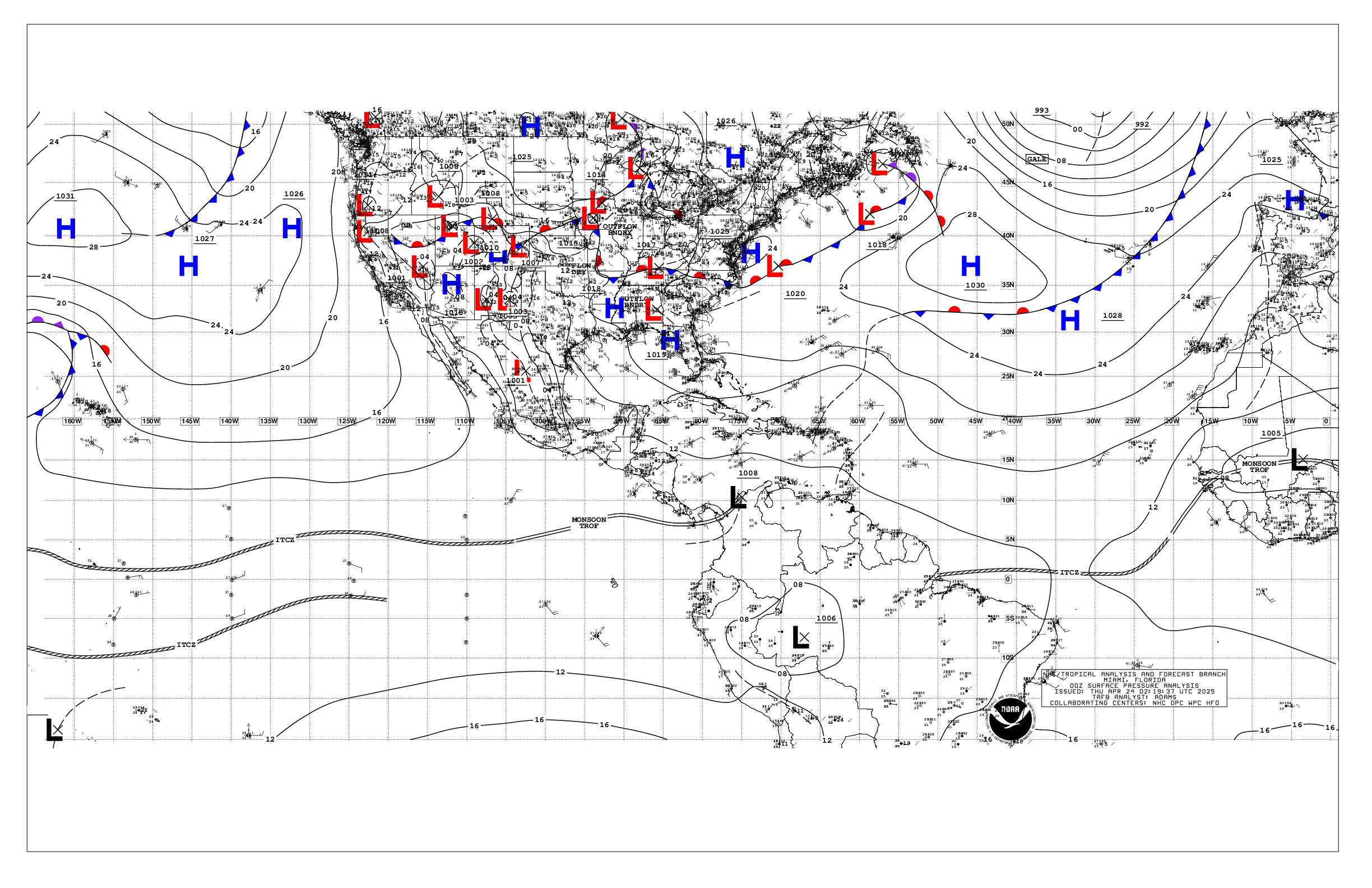
Based on 0000 UTC surface analysis and satellite imagery through
0200 UTC.

...TROPICAL WAVES...

The axis of a tropical wave is near 84W and N of 05N, drifting
west at 10 kt. Nearby convection is noted in the ITCZ/monsoon
trough section below.

...INTERTROPICAL CONVERGENCE ZONE/MONSOON TROUGH...

The monsoon trough extends from 09N84W to 07N95W. The ITCZ
extends from 07N95W to 10N130W to beyond 07N140W. Scattered
moderate to isolated strong convection is noted from 04N to 08N
between 85W and 101W, and from 04N to 10N between 118W and 140W.

...OFFSHORE WATERS WITHIN 250 NM OF MEXICO...

High pressure has started to build west of the region,
tightening the pressure gradient slightly. With the tighter
pressure gradient, moderate to fresh winds prevail across the
waters west of Baja California. Gentle to moderate winds are
south of Baja California and west of Cabo Corrientes. Light to
gentle winds prevail elsewhere. Seas are in the 4-6 ft range over
the open waters, and 1-3 ft in the Gulf of California.

For the forecast, high pressure will build modestly across the
region from the W through early this week. This will tighten the
pressure gradient across the Baja waters, leading to moderate to
fresh winds offshore Baja California through midweek, with a
slight increase in seas. A set of NW swell will move into the
waters off Baja California Norte midweek, bringing rough seas.
Fresh SW to W gap winds will develop across the northern Gulf of
California Tue and Wed.

....OFFSHORE WATERS WITHIN 250 NM OF CENTRAL AMERICA, COLOMBIA,
AND WITHIN 750 NM OF ECUADOR...

Moderate to fresh winds are in the Gulf of Papagayo. Gentle to
moderate winds prevail between Colombia and the Galapagos
Islands, as well as in the Gulf of Panama. Light to gentle winds
are elsewhere across the discussion waters. Seas are 5-7 ft in S
swell between Colombia and the Galapagos Islands, and 4-6 ft
elsewhere.

For the forecast, fresh gap winds will pulse at night across the
Papagayo region through Mon night. Gentle to moderate winds will
prevail between Colombia and the Galapagos Islands. Light to
gentle winds are expected elsewhere. Moderate seas will prevail
through Thu. Large SW swell will enter the southern waters Fri,
bringing rough seas to the waters between the Galapagos Islands
and Colombia.

...REMAINDER OF THE AREA...

A broad surface ridge extends across the waters north of 20N.
The pressure gradient between this area of high pressure and
lower pressure in the vicinity of the ITCZ is supporting moderate
to fresh NE trade winds north of the ITCZ to 20N and west of
110W, where seas are 6 to 8 ft. Gentle to moderate NE winds are
elsewhere north of the ITCZ. Gentle to moderate SE winds are also
found south of the ITCZ. Seas over these waters are in the 5-7
ft range in mixed SW and N to NE swell. Seas are reaching 8 ft
primarily in southerly swell south of 03N between 90W and 100W.

For the forecast, little change is expected in winds and seas the
next few days. NW swell will enter waters north of 25N by
midweek, bringing rough seas over these waters. Tradewinds will
increase slightly over the western waters. The combination of
wind waves developing from these trades, and NW swell will bring
rough seas over these waters.

$$
AL


 NHC on Facebook
 NHC on X
 NHC on YouTube
 NHC Blog: