000
AXPZ20 KNHC 120255
TWDEP

Tropical Weather Discussion
NWS National Hurricane Center Miami FL
0405 UTC Mon Oct 12 2026

Tropical Weather Discussion for the eastern Pacific Ocean from
03.4S to 30N, east of 120W including the Gulf of California, and
from the Equator to 30N, between 120W and 140W. The following
information is based on satellite imagery, weather observations,
radar, and meteorological analysis.

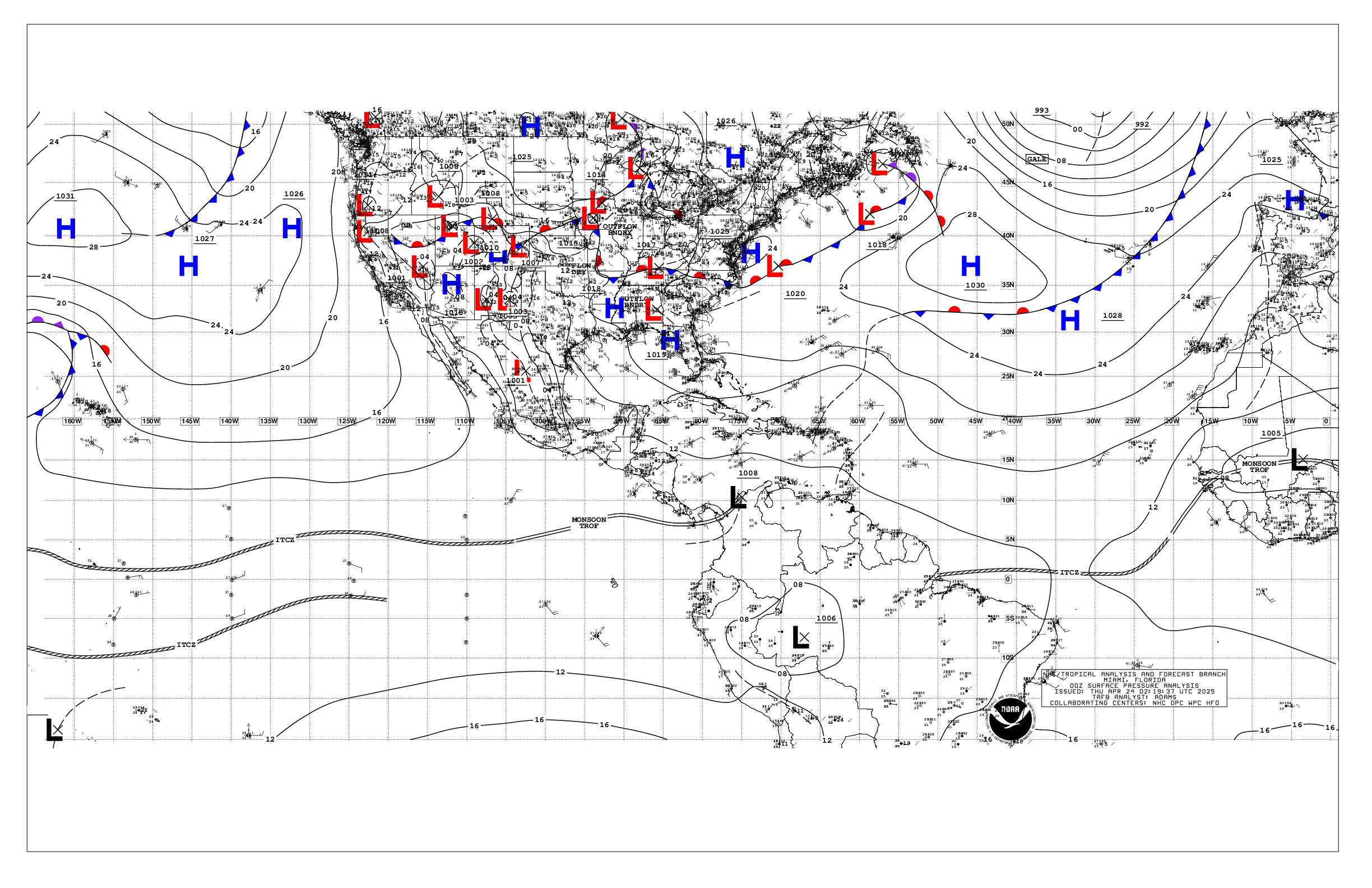
Based on 0000 UTC surface analysis and satellite imagery through
0230 UTC.

...SPECIAL FEATURES...

Hurricane Simon is centered near 19.8N 106.0W at 12/0300 UTC,
moving northwest at 4 kt. Estimated minimum central pressure is
956 mb. Maximum sustained wind speed is 105 kt with gusts to 130
kt. Peak seas are near 22 ft. Numerous moderate to scattered
strong convection is within 60 N of the center. Scattered
moderate and isolated strong convection is elsewhere from 15N to
22N between 103W and 110W. Simon is moving slowly north-
northwestward, and is forecast to track parallel to the coast of
west-central Mexico over the next day or so. Gradual weakening is
expected due to the proximity to the mountainous terrain, which
could further disrupt the hurricane's structure along its eastern
side. Simon is expected to produce additional rainfall totals of
2 to 4 inches with isolated additional amounts of 8 inches over
portions of the states of Colima, Jalisco, Nayarit and Sinaloa
through early Thursday. Isolated maximum storm totals of 30
inches are possible over portions of the states of Michoacan,
Colima, and Jalisco. This rainfall will produce life-threatening
flooding and mudslides or worsen any on-going flooding,
especially in areas of steep terrain. Swells generated by Simon
will affect portions of the coast of southwestern and west-
central Mexico during the next few days. These swells are likely
to cause life-threatening surf and rip current conditions. Please
consult products from your local weather office.

Please read the latest HIGH SEAS FORECAST issued by the
National Hurricane Center at website -
https://www.nhc.noaa.gov/text/MIAHSFEP2.shtml and the latest
Simon NHC Forecast/Advisory and Public Advisory at
www.hurricanes.gov for more details.

...TROPICAL WAVES...

The axis of a tropical wave is near 91W, north of 02N. The wave
is is producing disorganized showers and thunderstorms.
Environmental conditions are expected to be conducive for gradual
development, and a tropical depression is expected to form well
south of southern Mexico by the middle or latter half of the week
as the system moves generally west-northwestward at around 10
mph. There is a medium chance for tropical cyclone development
in the next 48 hours, and a high chance through next 7 days.

...INTERTROPICAL CONVERGENCE ZONE/MONSOON TROUGH...

The monsoon trough extends from 09N84W to 07N91W to 12N102W,
then resumes near 16N115W to 08N140W. Scattered moderate and
isolated strong convection is noted from 00N to 15N E of 100W.

...OFFSHORE WATERS WITHIN 250 NM OF MEXICO...

Please see the Special Features section above for information on
Hurricane Simon.

Fresh to strong SW winds and rough seas are impacting the
northern Gulf of California. Gentle to locally moderate winds,
and slight to moderate seas, are elsewhere over the Gulf. Fresh
to strong winds are in the Gulf of Tehuantepec. Elsewhere,
outside of the areas impacted by Hurricane Simon, moderate or
weaker winds and moderate to rough seas prevail.

For the forecast, Hurricane Simon is near 19.8N 106.0W at 8 PM
PDT, and is moving northwest at 4 kt. Maximum sustained winds are
105 kt with gusts to 130 kt, and the minimum central pressure is
956 mb. Simon will move to 20.5N 106.3W Mon morning, 21.2N
106.8W Mon evening, 21.8N 107.1W Tue morning, 22.4N 107.0W Tue
evening, 23.0N 106.7W Wed morning, and inland to 23.4N 106.4W Wed
evening. A cold front moving across the northern waters will
start to weaken today. The front will support fresh to strong SW
winds across the northern Gulf of California through Mon. Rough
seas lingering west of the Baja California peninsula will
gradually diminish through early this week. Elsewhere,
disorganized showers and thunderstorms are associated with a
tropical wave moving across the waters of southern Mexico.
Environmental conditions are expected to be conducive for gradual
development, and a tropical depression is expected to form well
south of southern Mexico by the middle or latter half of the week
as the system moves generally west- northwestward at around 10
mph. There is a medium chance for tropical cyclone development in
the next 48 hours, and a high chance through next 7 days.
Regardless of development, expect an increase in winds and seas
across the waters off southern Mexico by midweek.

...OFFSHORE WATERS WITHIN 250 NM OF CENTRAL AMERICA, COLOMBIA,
AND WITHIN 750 NM OF ECUADOR...

Moderate to locally fresh winds and moderate seas prevail over
the Papagayo region. Light to gentle winds and moderate seas are
elsewhere N of 04N. Gentle to moderate southerly winds and
moderate seas in SW swell prevail S of 04N.

For the forecast, a weak pressure gradient will support moderate
or lighter winds and moderate seas across much of the forecast
waters through the middle of next week. Moderate to fresh NE to E
winds are expected in the Papagayo region tonight.

...REMAINDER OF THE AREA...

A cold front is moving across the NE waters followed by moderate
to fresh northerly winds and rough seas. Similar marine conditions
are noted elsewhere N of 20N W of 120W. Moderate or lighter
winds and moderate seas prevail across the remainder of the
discussion waters.

For the forecast, the cold front will move across the NE waters
through Tue while gradually dissipating. Large SW swell will
affect the waters S of the Equator and west of 105W over the
next couple of days.

$$
AL


 NHC on Facebook
 NHC on X
 NHC on YouTube
 NHC Blog: