000
AXNT20 KNHC 281646
TWDAT

Tropical Weather Discussion
NWS National Hurricane Center Miami FL
1815 UTC Tue Jul 28 2026

Tropical Weather Discussion for North America, Central America
Gulf of America, Caribbean Sea, northern sections of South
America, and Atlantic Ocean to the African coast from the
Equator to 31N. The following information is based on satellite
imagery, weather observations, radar and meteorological analysis.

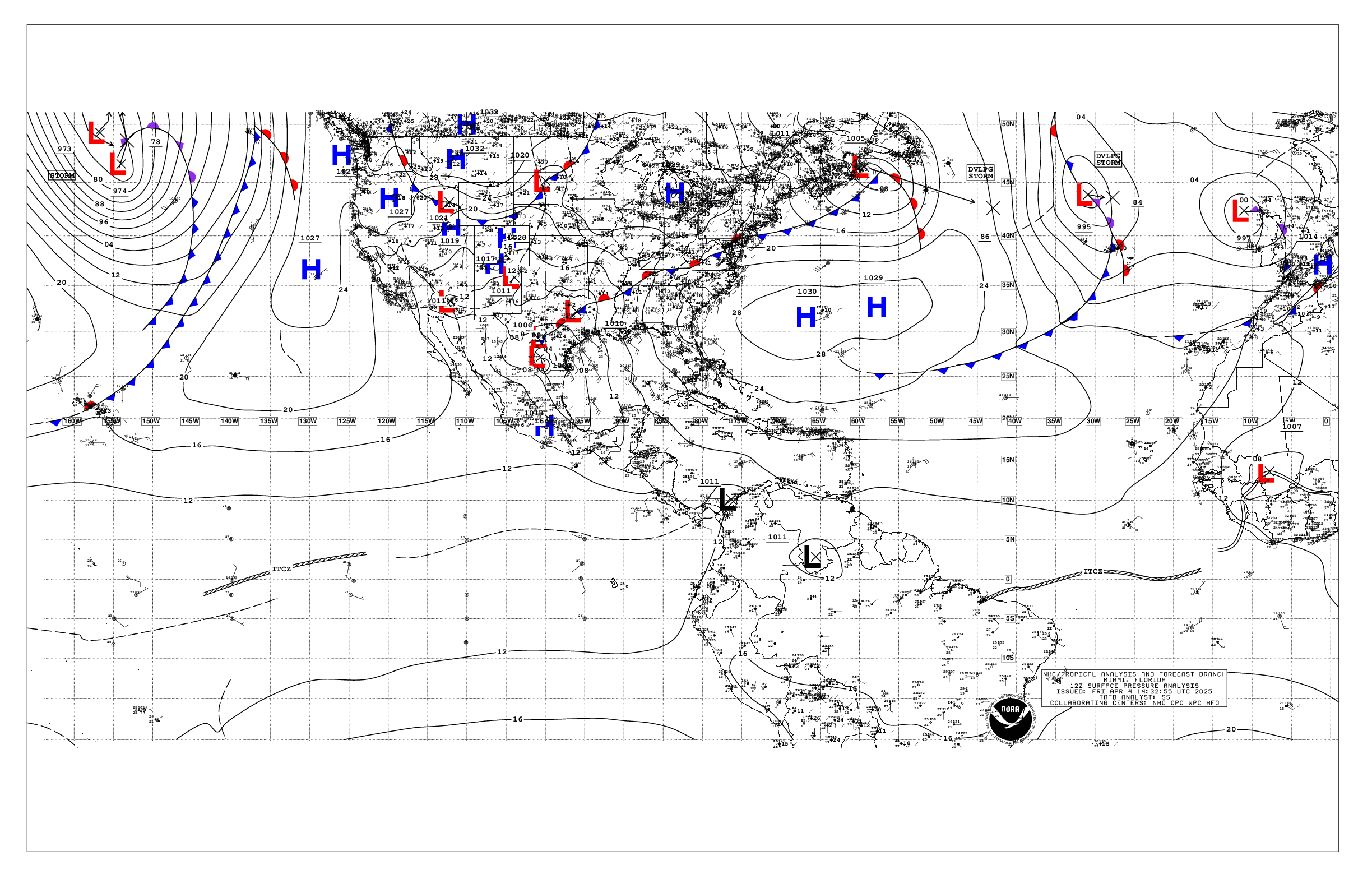
Based on 1200 UTC surface analysis and satellite imagery through
1646 UTC.

...TROPICAL WAVES...

A tropical wave is in the E Atlantic with axis near 36W,
extending from 06N to 15N, and moving westward at around 15-20
kt. Scattered showers are depicted from 11.5N to 14N between 33.5W
to 39W.

A tropical wave is over the E Caribbean with axis near 63.5W,
extending from 10N to 19N, and moving westward at 15 to 20 kt.
No significant convection is depicted at the moment in association
with this wave.

A tropical wave is in the SW Caribbean with axis along 83W, from
06N to 18N, and moving westward at around 10-15 kt. A cluster of
scattered moderate to strong convection is noted from 11.5N to
16N and west of 90W.

...MONSOON TROUGH/ITCZ...

The monsoon trough enters the Atlantic near 16N16.5W and
continues to 09N42W. The ITCZ begins near 09N42W and continues to
07N56W. Scattered moderate isolated strong convection is present
offshore Africa, from 04N to 10.5N between the African coast and
20W. Scattered moderate convection is depicted from 07N to 09N
between 40W and 43.5W.

...GULF OF AMERICA...

Scattered moderate to isolated strong convection is ongoing over
the E Gulf, from 26N to 29N between 83W and 87.5W in associated
with low level convergence occurring near a surface trough that
extends eastward across central Florida. Similar convection is
depicted north of the Florida Keys. The remainder Gulf is under
the influence of a 1014 mb high centered near 28N93W, which is
supporting light to gentle variable winds, except for SE to S
gentle to moderate winds west of 91.5W. Seas across the basin
range between 2 to 4 ft.

For the forecast, high pressure will remain over the central Gulf
to promote gentle to moderate winds for the next several days.
The exception will be fresh NE winds off the northwest coast of
the Yucatan peninsula nightly into the weekend. Scattered showers
and thunderstorms will continue during the next couple of days
over the NE Gulf due to a weakening cold front located across
north- central Florida.

...CARIBBEAN SEA...

Please refer to the TROPICAL WAVES section above for information
on associated convection. Isolated moderate convection extends
from western Cuba southwestward to the entrance to the Yucatan
Channel. Strong upper level SW wind shear dominates much of the N
half of the basin, occurring the south of an upper trough across
NW portions.

Atlantic ridging dominates the region north of the basin,
extending W-SW along 20N and into the eastern Bahamas. The
pressure gradient between relatively low pressure over south
America and the ridge is supporting moderate to fresh trades over
the central Caribbean along with 4 to 6 ft seas. Winds are
moderate or weaker across the remainder of basin, with slight to
moderate seas.

For the forecast, the increasing pressure gradient between the
Atlantic ridge and the Colombian Low will strengthen trade winds
to strong speeds over the south-central Caribbean this afternoon
through Fri evening before diminishing. Trade winds over the Gulf
of Honduras will increase to fresh Wednesday night through Sat. A
tropical wave entering the E Caribbean this morning will enhance
showers and isolated thunderstorms across the E and SE Caribbean
through Wed morning.

...ATLANTIC OCEAN...

A dissipating stationary front extends across the SW N Atlantic
waters from 31N73.5W to central coastal Florida, supported by a
sharp upper trough along the east coast of the U.S. Scattered to
numerous showers and tstms are ahead of this boundary, north of
26N between 65W and 78W. A 1024 mb high pressure near 29N47W
dominates the remainder subtropical Atlantic waters and provides
moderate or weaker winds and moderate seas N of 22N and W of 30W.
The gradient of pressure between the ridge and the front over the
SW waters supports moderate to fresh S to SW winds W of 61W, where
seas are 4 to 7 ft. South of the ridge, moderate to locally fresh
easterly trade winds prevail across the Tropical Atlantic S of
22N, where seas are 5 to 7 ft W of 30W.

For the forecast west of 55W, the Bermuda High will maintain a
ridge farther south than usual, along 24N-25N, through Fri. This
in combination with a stationary front off NE Florida will force
fresh to strong SW winds with scattered showers and thunderstorms
north of 27N and west of 63W for the next several days. Fresh to
locally strong trades will develop just north of Hispaniola and
Puerto Rico from Wed afternoon through Sat.

$$
KRV


 NHC on Facebook
 NHC on X
 NHC on YouTube
 NHC Blog: