000
AXNT20 KNHC 151543
TWDAT

Tropical Weather Discussion
NWS National Hurricane Center Miami FL
1815 UTC Tue Sep 15 2026

Tropical Weather Discussion for North America, Central America
Gulf of America, Caribbean Sea, northern sections of South
America, and Atlantic Ocean to the African coast from the
Equator to 31N. The following information is based on satellite
imagery, weather observations, radar and meteorological analysis.

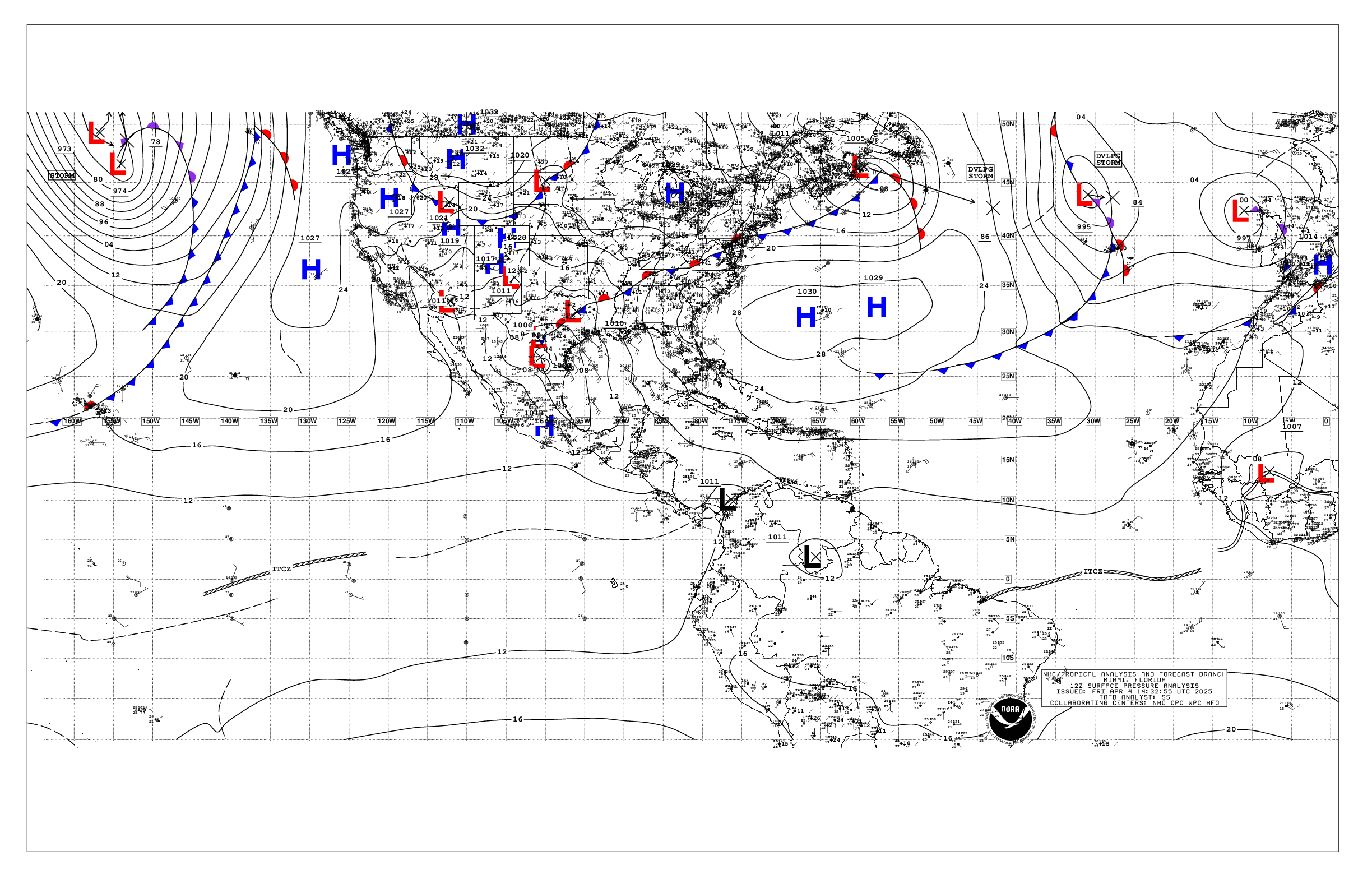
Based on 1200 UTC surface analysis and satellite imagery through
1543 UTC.

...TROPICAL WAVES...

A well defined tropical wave is along 56W, south of 21N, moving
westward at 10-15 kt. Moderate to fresh E winds along with seas
4 to 6 ft are found in the vicinity of the wave. Scattered
moderate to isolated strong convection is observed from 11N to 21N
and between 51W and 59W.

...MONSOON TROUGH/ITCZ...

The monsoon trough enters the Atlantic near 13N17W and continues
to 07N45W. The ITCZ extends from 07N45W to 10N54W. Scattered
moderate to isolated strong convection is noted from 05N to 20N
and east of 26W.

...GULF OF AMERICA...

A few showers and isolated thunderstorms are occurring in the
eastern Gulf waters and off Veracruz. A weak high pressure over
the N Gulf supports moderate E to SE winds and 3 to 5 ft seas in
the Bay of Campeche. Elsewhere, light to gentle winds and slight
seas prevail.

For the forecast, a strong high pressure over the eastern United
States will build southward behind a weakening cold front that
will spread across the eastern Gulf waters. The tighter pressure
gradient will support fresh to locally strong NE-E winds and rough
seas starting in the NE Gulf tonight and spreading over the
northern Gulf waters through Thu night. Elsewhere, a diurnal
trough will move westward offshore the Yucatan Peninsula each
evening through Thu night, bringing nightly pulses of fresh to
locally strong NE winds. Conditions will improve across the basin
Fri, allowing for moderate or weaker winds and slight to moderate
seas during the weekend.

...CARIBBEAN SEA...

The interaction between an large upper-level low pressure system
over the north-central Caribbean and tropical moisture support
scattered showers and isolated thunderstorms south of Puerto Rico.
This environment is also generating a few showers in the eastern
Caribbean, bringing some rain to Puerto Rico and the Virgin
Islands.

High pressure north of the area sustains fresh to strong easterly
trade winds and moderate to rough seas across much of the central
Caribbean. Moderate to locally fresh NE-E winds and moderate seas
are occurring in the eastern Caribbean, Windward Passage and lee
of Cuba. Elsewhere, moderate or weaker winds and moderate seas
prevail.

For the forecast, tight pressure gradient between the subtropical
ridge located north of the islands and lower pressures in
Colombia will support fresh to locally near gale-force easterly
trade winds and moderate to rough seas across much of the central
Caribbean, with moderate to fresh trades elsewhere from 11N to
18N. These conditions will persist through the workweek.
Elsewhere, moderate or lighter winds and slight to moderate seas
are expected, except moderate to fresh mainly in the evenings near
the Windward Passage and Lee of Cuba through midweek. Winds may
diminish across the basin by the end of the week into the upcoming
weekend as the pressures gradient relaxes, with seas also
slightly subsiding.

...ATLANTIC OCEAN...

A pre-frontal trough is noted ahead of an approaching cold front
over the NW waters producing scattered showers and isolated
thunderstorms north of 27.5N and between 68W and 76W. Meanwhile,
a large upper-level low over and east of the SE Bahamas is
supporting scattered showers south of 26N and between 61W and
72W. High pressure dominates the rest of the SW North Atlantic,
sustaining moderate or weaker winds and slight to moderate.

Another upper-level low over the central Atlantic interacts with a
surface trough analyzed along 51.5W and north of 26N, producing
numerous showers and isolated thunderstorms north of 26N and
between 46W and 54W. Environmental conditions are forecast to
become more conducive for development in a few days, and a
tropical depression could form late this week as the system moves
slowly west-northwestward over the subtropical Atlantic. The
system has a medium chance of formation over the next 7 days. A
strong subtropical ridge centered north of the Azores extends
southward into the central and eastern Atlantic, supporting
moderate to fresh easterly winds and moderate seas between 25W
and 53.5W. Moderate or weaker winds and moderate seas are
prevalent elsewhere.

For the forecast west of 55W, a cold front is approaching the
waters off NE Florida and then will become stationary from Bermuda
to the NW Bahamas into Wed. A tight pressure gradient between the
building ridge over the eastern United States and the front will
result in fresh to locally strong NE winds and seas to build to
rough N of the Bahamas and W of 70W through early Thu. Conditions
will improve later Thu into Fri. During the middle to later
portion of the week, a trough of low pressure is forecast to move
west- northwestward into the NE portion of the waters, bringing
thunderstorms while also weakening the high and pressure gradient.


$$
KRV


 NHC on Facebook
 NHC on X
 NHC on YouTube
 NHC Blog: