GMZ001-290815-
Synopsis for the Gulf of America
405 PM EDT Tue Jul 28 2026
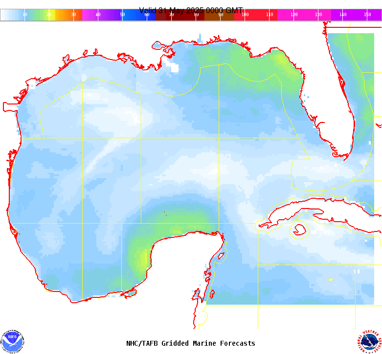
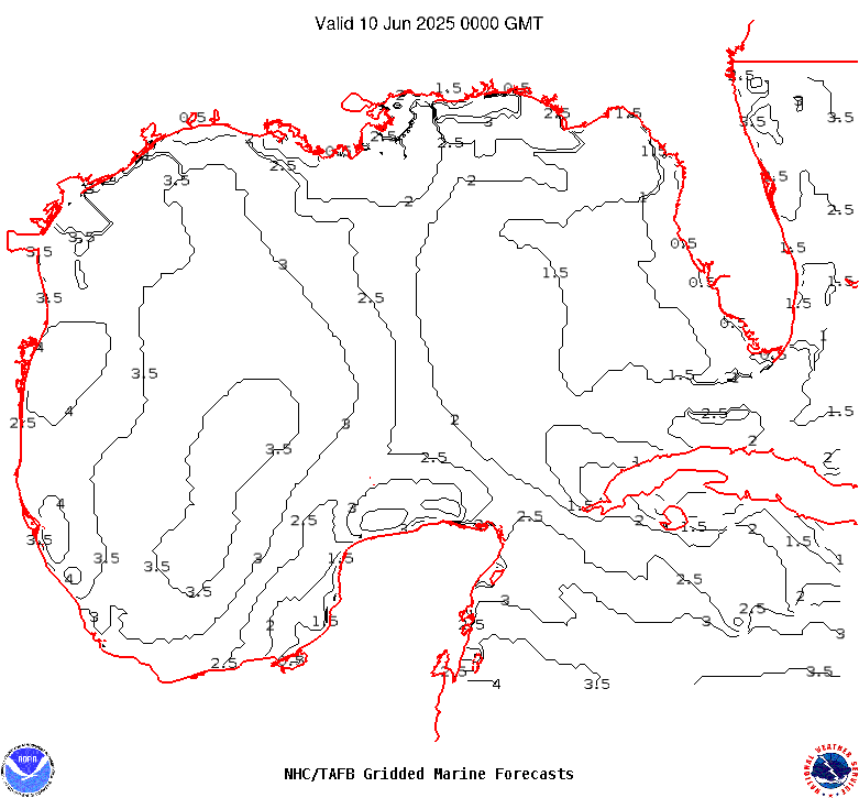
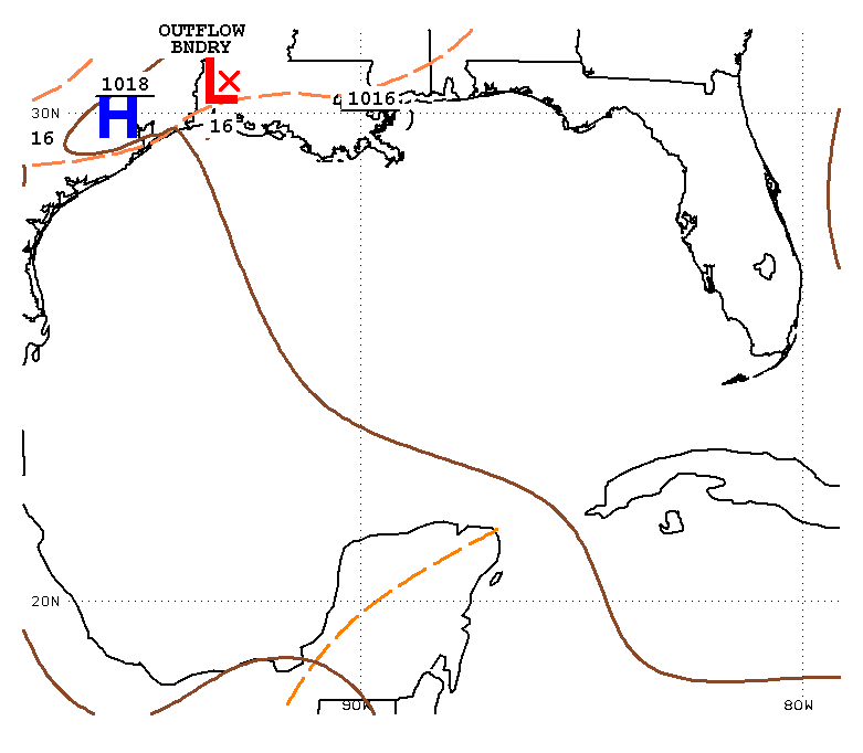
.SYNOPSIS...A ridge will remain in control of the weather pattern
across the Gulf region promoting gentle to moderate winds for the
next several days. The exception will be fresh NE winds off the
northwest coast of the Yucatan peninsula nightly into the weekend.
Scattered showers and thunderstorms will continue during the next
couple of days over the NE Gulf due to the presence of a frontal
boundary over north-central Florida.