Tropical Cyclone Danger (May 15th - Nov 30th)
High Wind & Seas (Dec 1st - May 14th)
Tropical Surface Analysis
Surface Forecasts
Significant Wave Height Analysis
Wind/Wave Forecasts
Peak Wave Period & Primary Swell Direction
Atlantic
NE Pacific
SE Pacific
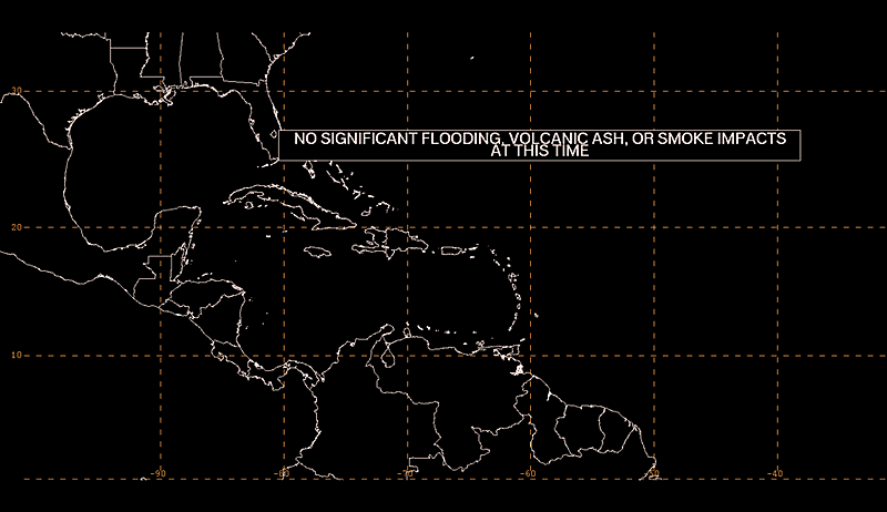
Caribbean & SW North Atlantic
Gulf of America
New Orleans, LA transmitter
Miami, FL transmitter
San Juan, PR transmitter
Caribbean & SW North Atlantic
Gulf of America
Atlantic
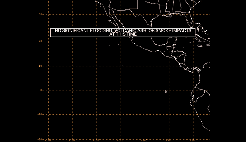
E Pacific
Marine Weather
Eastern Caribbean
Central Caribbean
Western Caribbean/Mexico
OPC Mobile (higher latitudes)
NWS Marine Mobile
NWS Tides Mobile
![]() NHC on Facebook
NHC on Facebook
![]() NHC on Twitter
NHC on Twitter
Homepages:
NHC Mobile | NHC Full Site
NWS Mobile | NWS Full Site
NWS Local Forecast for Smartphones
Feedback: NHCwebmaster@noaa.gov
This information is provided as a public service from the
National Hurricane Center,
National Centers for Environmental Prediction,
National Weather Service,
National Oceanic and Atmospheric Administration,
Department of Commerce.