PMZ001-090400-
Synopsis for the E Pacific within 250 nm of Mexico
852 AM PDT Wed May 8 2024

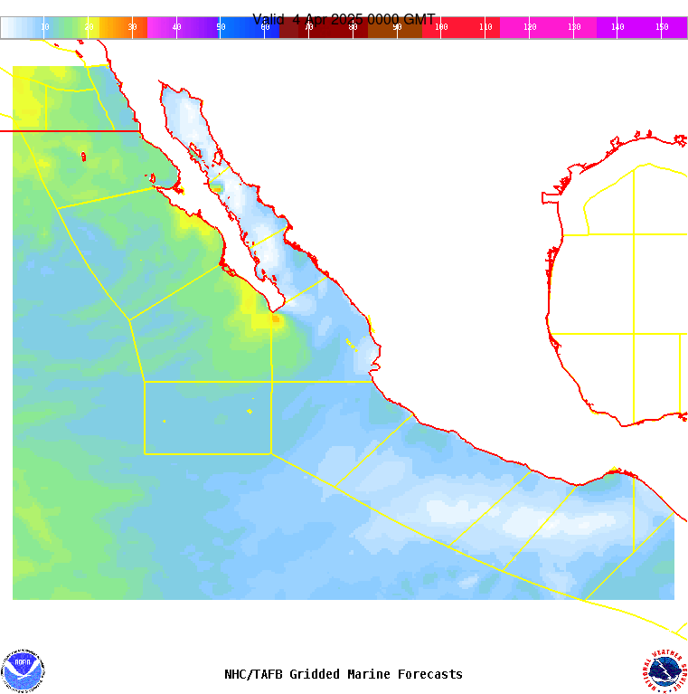
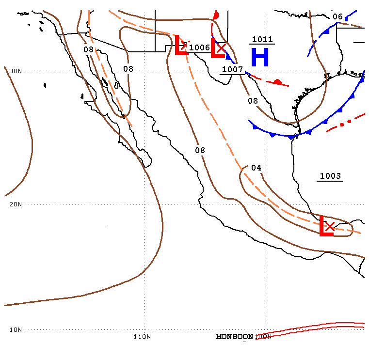
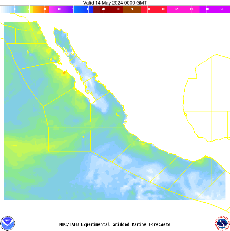
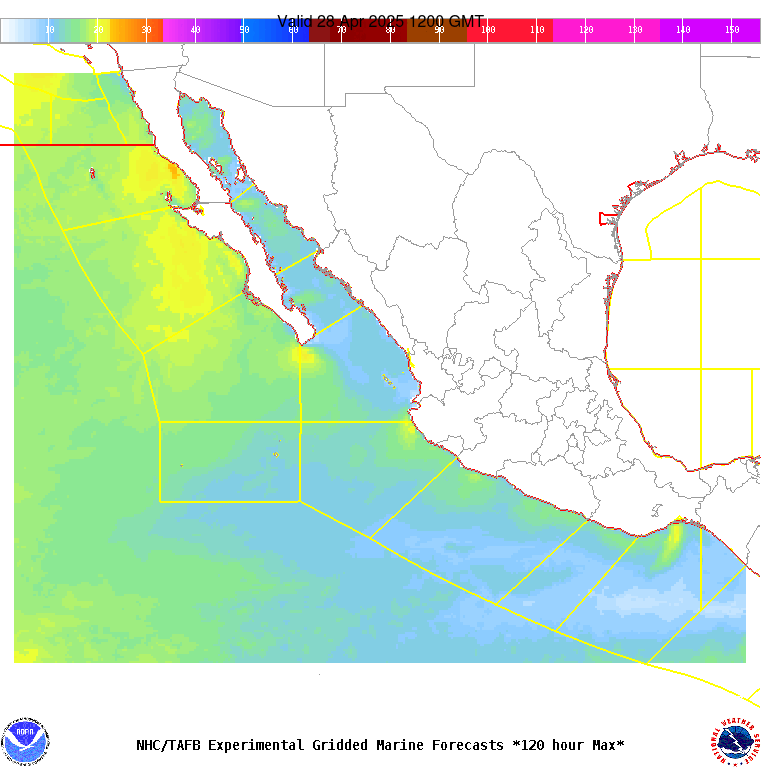
.SYNOPSIS...High pressure well NW of the local area will shift
NE throughout the week, producing moderate NW winds across the
Baja Peninsula waters today, with small areas of locally fresh
winds developing near the coasts this afternoon and evening, and
fresh NW winds across the Baja Norte waters NW of Guadalupe
Island. Winds will then become gentle to moderate Thu through
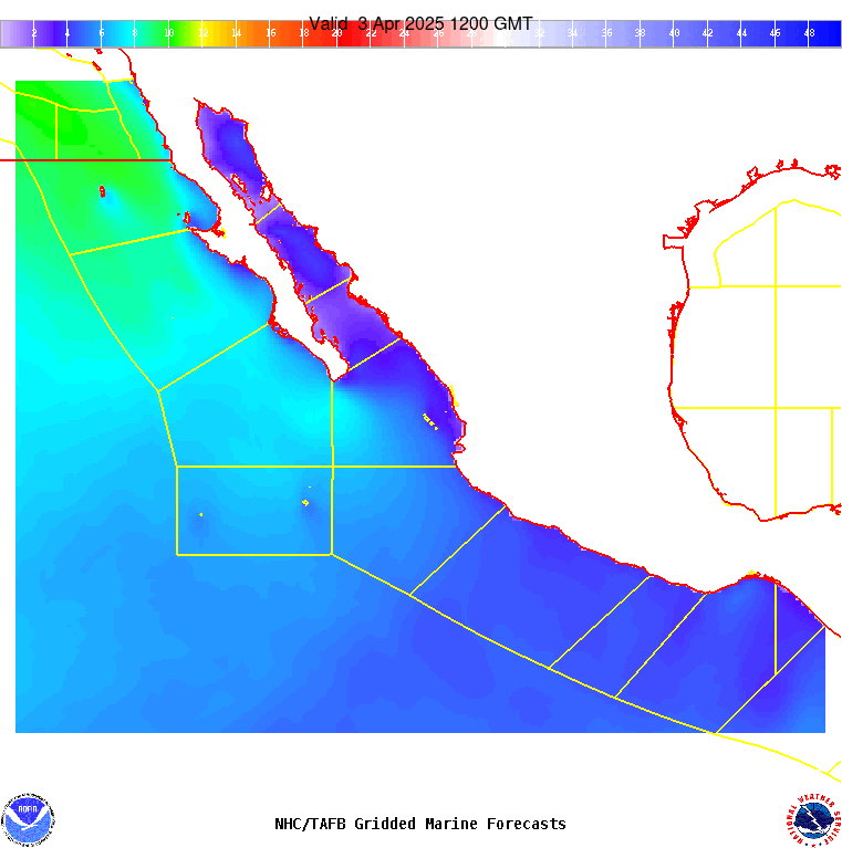
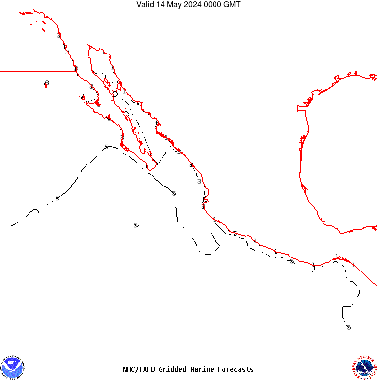
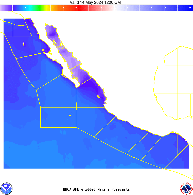
Fri. NW swell will continue to move into the Baja offshore
waters through the week, with seas in excess of 8 ft persisting
across the waters north through west of Punta Eugenia through Thu
evening. Gentle to locally moderate winds and moderate seas are
expected elsewhere across the S and SW Mexican offshore waters
through Sun night.
