
https://www.hurricanes.gov/marine/forecast
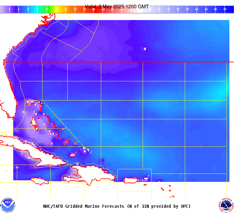
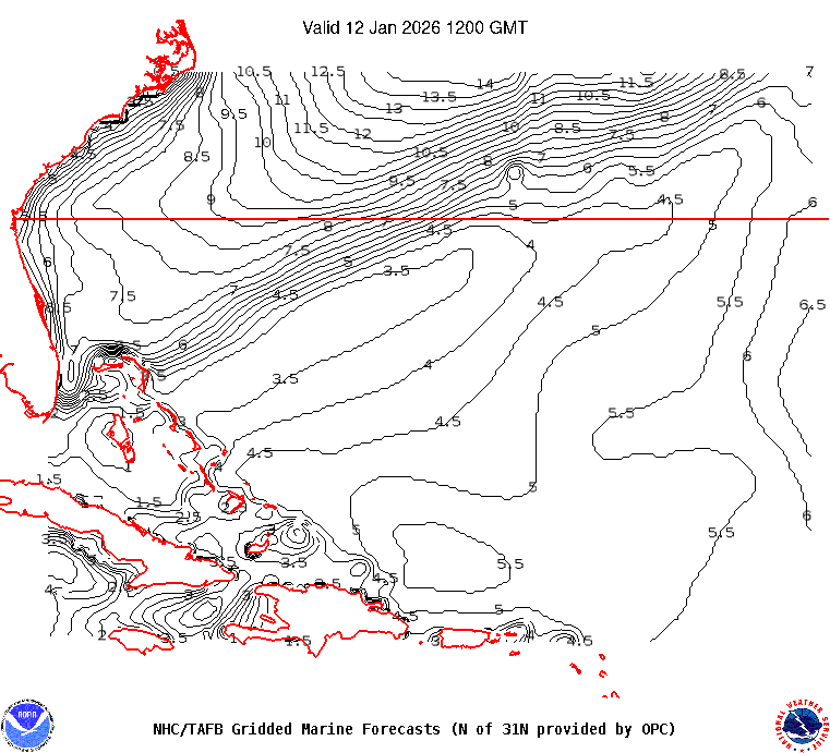
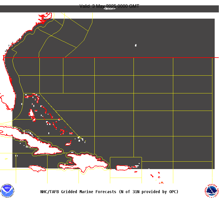
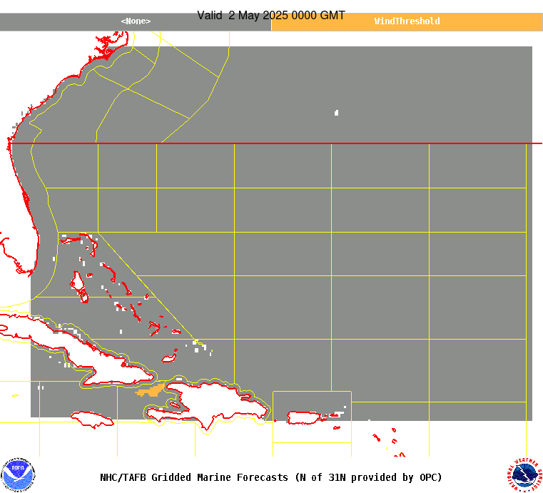
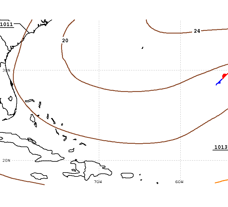
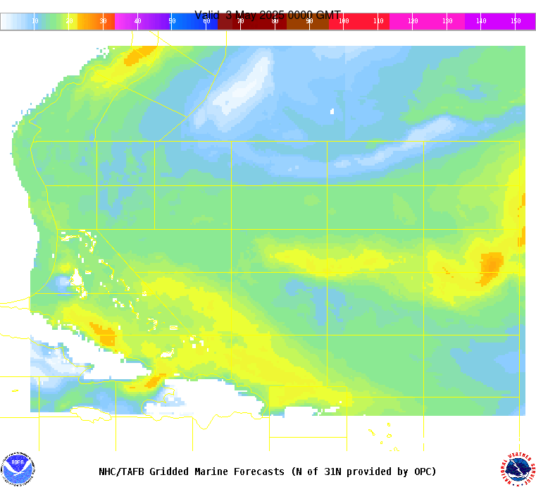
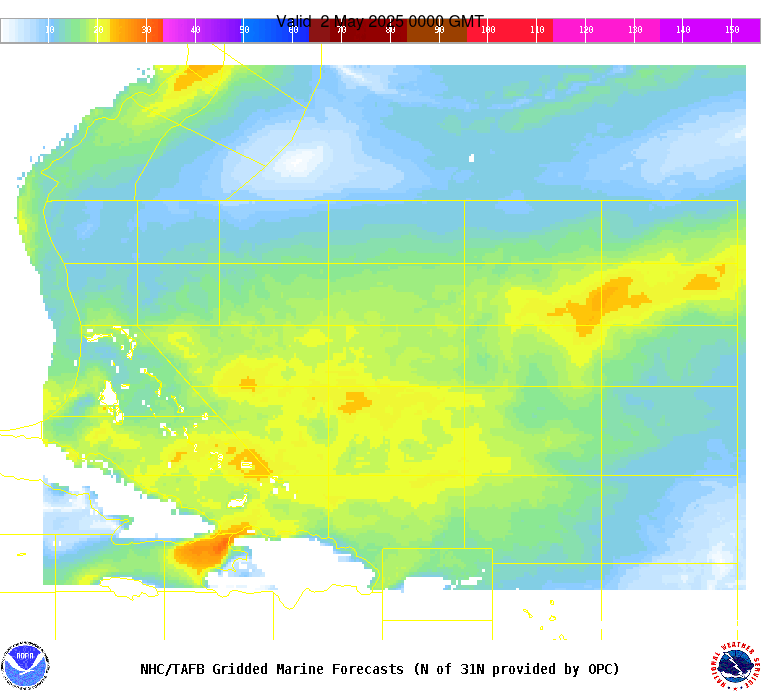
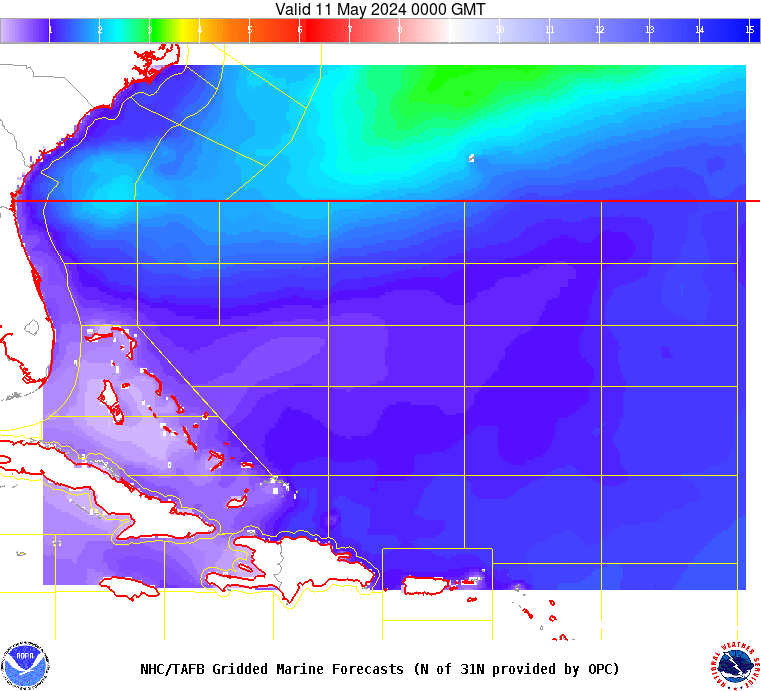
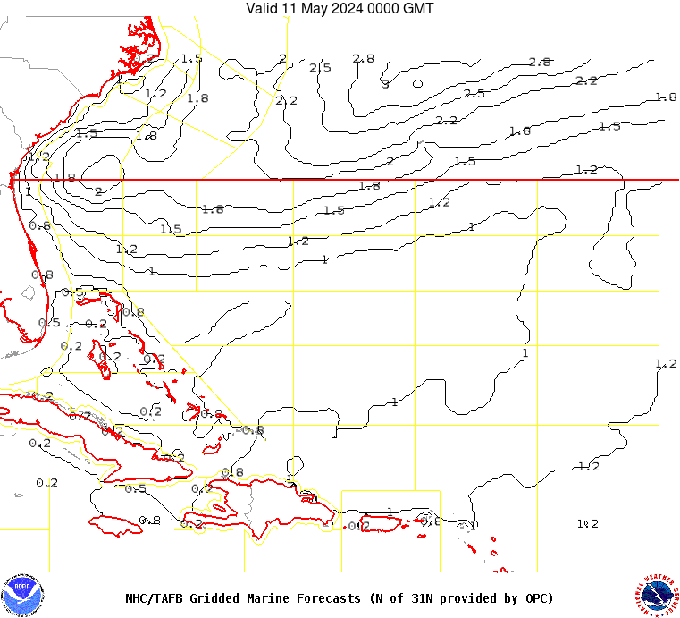
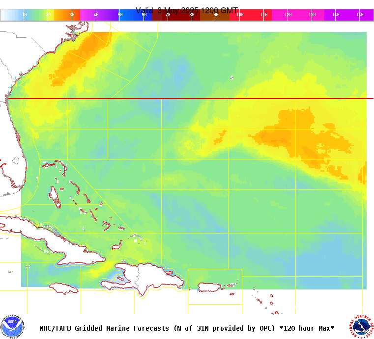
AMZ101-110800- Synopsis for the SW N Atlantic including the Bahamas 359 PM EDT Fri May 10 2024 .SYNOPSIS...Weak 1014 mb low pressure near 24.5N60W is along a trough in the eastern waters. These features will dissipate by early Sat. Otherwise, high pressure over the basin will weaken as a cold front moves off the SE United States, reaching from 31N74W to near West Palm Beach, Florida early Sat, then from just SE of Bermuda to the Straits of Florida early Sun. Fresh to strong winds will be ahead of the front through Sat evening, with moderate to fresh winds behind the front. Associated building seas will accompany the winds, to around 8 ft. The front will weaken and slow, reaching from 31N59W to the SE Bahamas early Mon, then from 29N55W to 23N65W early Tue as high pressure builds in the wake of the front. Another front may enter the NW waters around mid-week. |