AMZ101-180145-
Synopsis for the SW N Atlantic including the Bahamas
944 AM EDT Tue Jun 17 2025
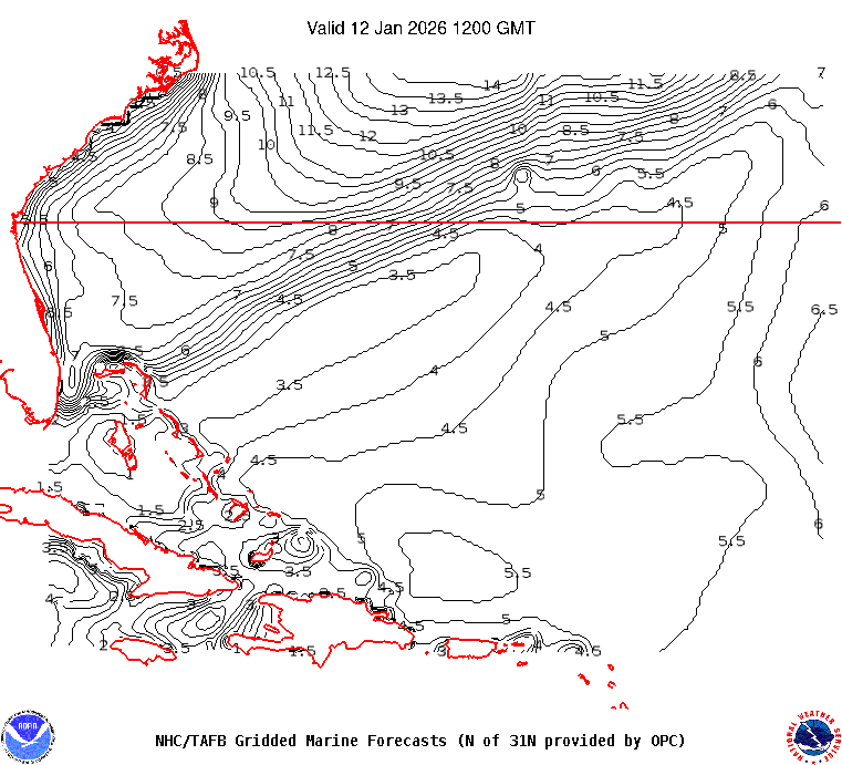
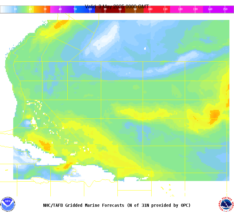
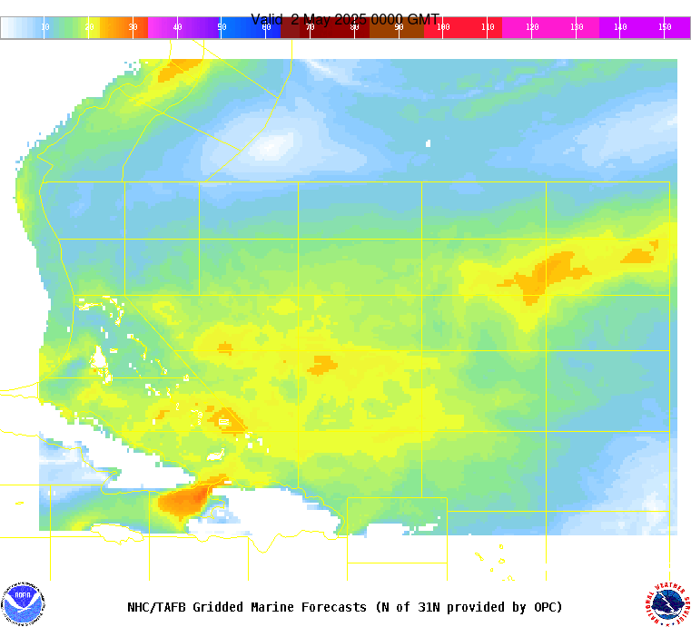
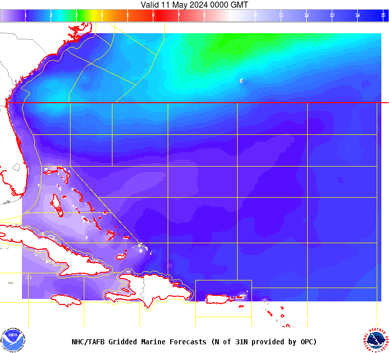
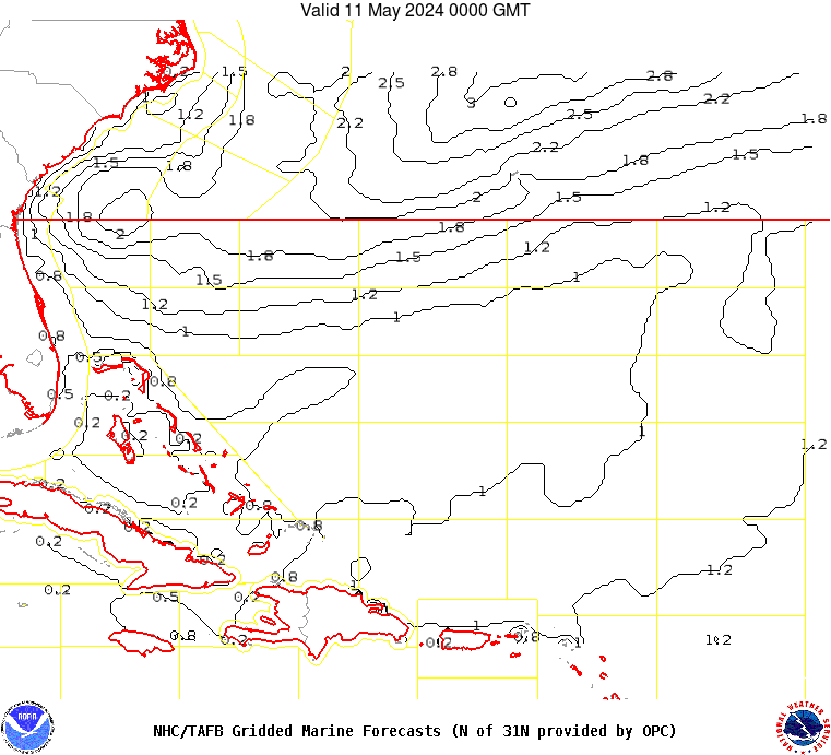
.SYNOPSIS...Moderate to fresh easterly winds are forecast south
of 24N through Sat night as a broad subtropical Atlantic ridge
stays in place. Strong winds will pulse just north of Hispaniola
at night into late week as the Bermuda High builds. Moderate to
fresh S to SW winds will prevail offshore of NE Florida through
Thu associated with a surface trough extending along the eastern
United States.