ZCZC HFOTWOCP ALL
TTAA00 PHFO DDHHMM
Tropical Weather Outlook
NWS Central Pacific Hurricane Center Honolulu HI
800 AM HST Sat Sep 23 2023
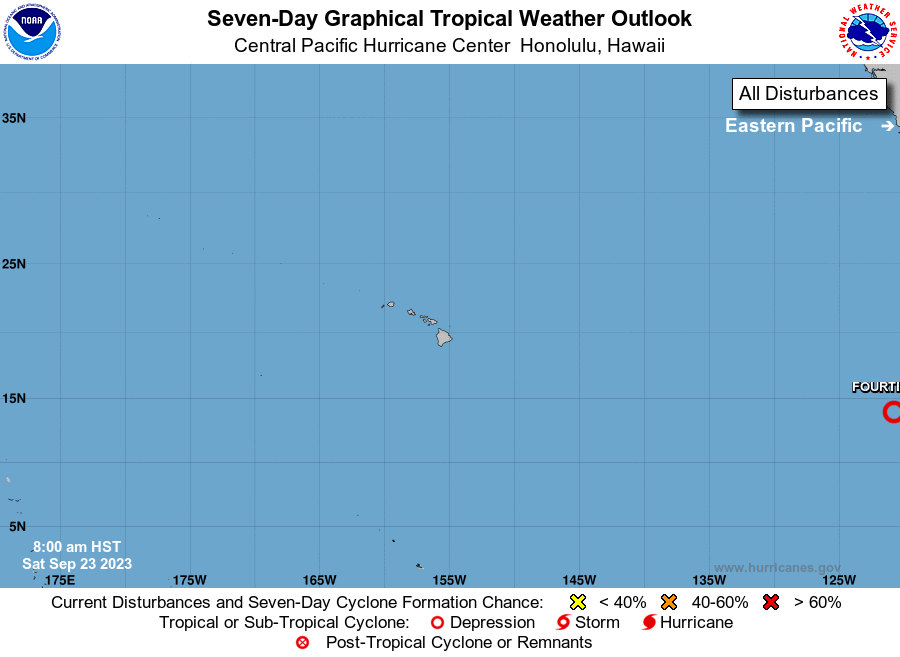
For the central North Pacific...between 140W and 180W:
1. Central East Pacific (EP97):
An area of low pressure is located over 2350 miles east-southeast
of Hilo, Hawaii. Recent microwave imagery indicates that showers
and thunderstorms associated with this system have become better
organized, though it remains unclear if a well-defined surface
circulation has formed. Regardless, further development of this
system is anticipated and a tropical depression is likely to form
during the next couple of days. The system is moving westward at 15
to 20 mph, and this general motion is expected to continue for the
next several days. This system may potentially cross into the
central Pacific basin around the middle of next week.
* Formation chance through 48 hours...high...70 percent.
* Formation chance through 7 days...high...80 percent.
Elsewhere, no tropical cyclones are expected during the next 7 days.
Forecaster Kino