Skip Navigation Links
NOAA NOAA United States Department of Commerce

NHC Graphical Outlook Archive


« Earliest Available         ‹ Earlier         Later ›         Latest Available »
GIS Shapefiles
Central Pacific Eastern Pacific Atlantic

View 2-Day Graphical Tropical Weather Outlook
Click for Eastern North Pacific Click for Eastern North Pacific

Tropical Weather Outlook Text

ZCZC HFOTWOCP ALL
TTAA00 PHFO DDHHMM

Tropical Weather Outlook
NWS Central Pacific Hurricane Center Honolulu HI
800 AM HST Thu Sep 14 2023

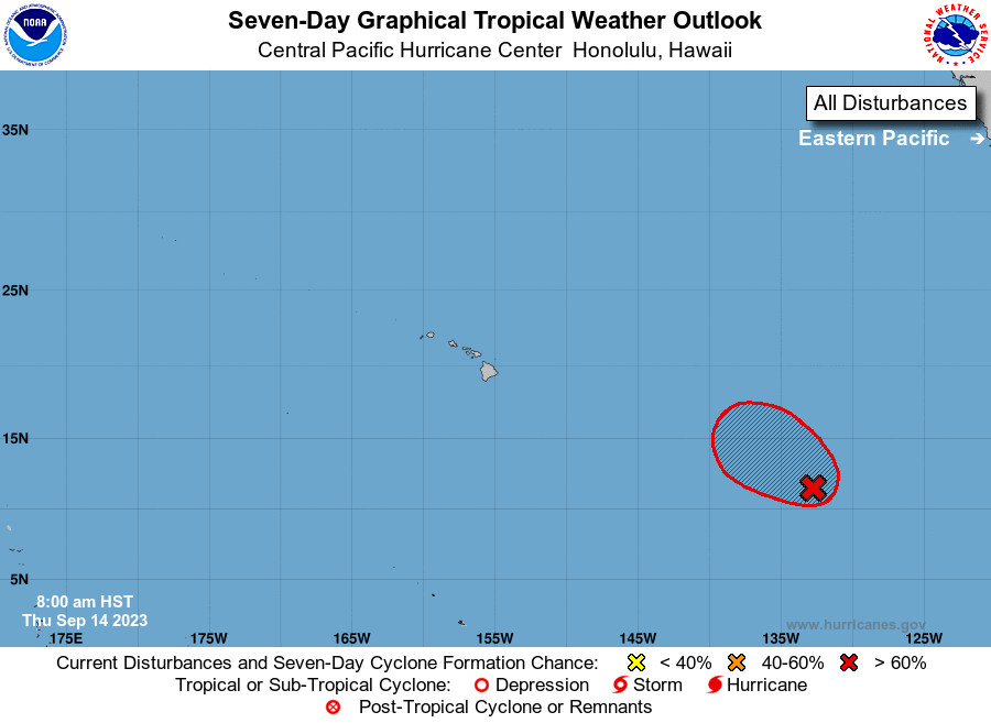
For the central North Pacific...between 140W and 180W:

1. Western East Pacific (EP94):
Showers and thunderstorms associated with a broad area of low 
pressure located approximately 1550 miles southeast of Hilo, Hawaii 
are gradually becoming better organized. Environmental conditions 
appear conducive for further development of this system, and a 
tropical depression is likely to form during the next day or so 
while it moves west-northwestward to northwestward at 10 to 15 mph 
over the western portion of the eastern Pacific basin.
* Formation chance through 48 hours...high...90 percent.
* Formation chance through 7 days...high...90 percent.

Forecaster Shigesato


List of Atlantic Outlooks (May 2023 - Present)
List of East Pacific Outlooks (May 2023 - Present)
List of Central Pacific Outlooks (May 2023 - Present)
List of Atlantic Outlooks (July 2014 - April 2023)
List of East Pacific Outlooks (July 2014 - April 2023)
List of Central Pacific Outlooks (June 2019 - April 2023)
List of Atlantic Outlooks (June 2009 - June 2014)
List of East Pacific Outlooks (June 2009 - June 2014)