ZCZC HFOTWOCP ALL
TTAA00 PHFO DDHHMM
Tropical Weather Outlook
NWS Central Pacific Hurricane Center Honolulu HI
800 PM HST Tue Sep 12 2023
For the central North Pacific...between 140W and 180W:
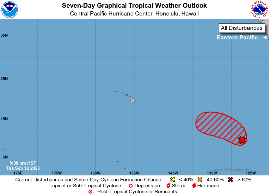
1. Western East Pacific (EP94):
Shower and thunderstorm activity has increased in association with a
tropical wave located approximately 1,600 miles southwest of the
southern tip of the Baja California peninsula. Environmental
conditions appear conducive for further development of this system,
and a tropical depression is likely to form during the next few days
as it moves west-northwestward. Weekend upper-level winds are
forecast to become less favorable for additional development while
the system moves slowly westward.
* Formation chance through 48 hours...medium...60 percent.
* Formation chance through 7 days...high...70 percent.
Elsewhere, no tropical cyclones are expected during the next 7 days.
Forecaster Blood