ZCZC HFOTWOCP ALL
TTAA00 PHFO DDHHMM
Tropical Weather Outlook
NWS Central Pacific Hurricane Center Honolulu HI
200 PM HST Sun Aug 27 2023
For the central North Pacific...between 140W and 180W:
Active Systems:
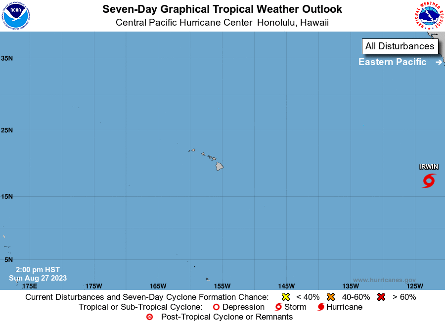
The National Hurricane Center in Miami, Florida is issuing
advisories on Tropical Storm Irwin, centered about 2200 miles east
of the main Hawaiian Islands. Irwin will continue tracking westward
and is expected to weaken and become a remnant low around Thursday.
Elsewhere, no tropical cyclones are expected during the next 7 days.
Public Advisories on Tropical Storm Irwin are issued under WMO
header WTPZ35 KNHC and under AWIPS header MIATCPEP5.
Forecast/Advisories on Tropical Storm Irwin are issued under
WMO header WTPZ25 KNHC and under AWIPS header MIATCMEP5.
$$
Forecaster Kino
NNNN