ZCZC HFOTWOCP ALL
TTAA00 PHFO DDHHMM
Special Tropical Weather Outlook
NWS Central Pacific Hurricane Center Honolulu HI
155 PM HST Sat Aug 26 2023
For the central North Pacific...between 140W and 180W:
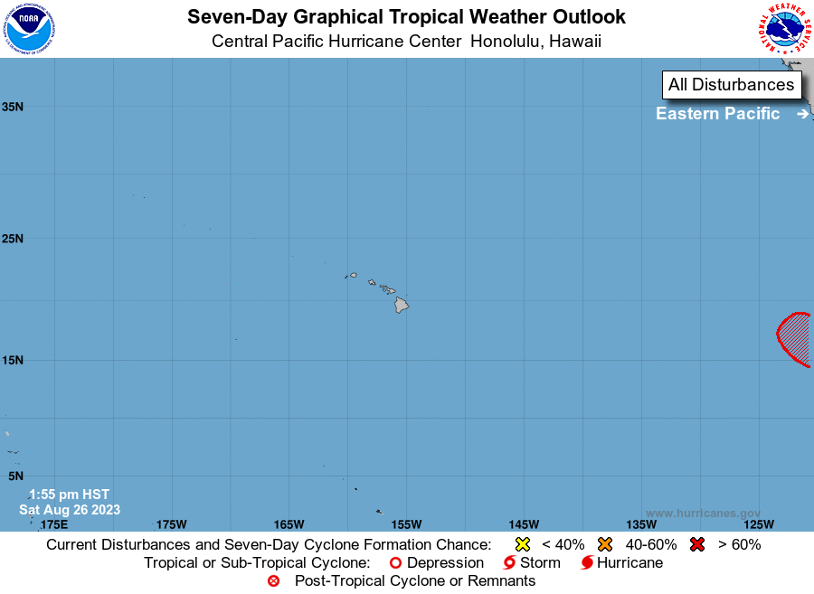
The National Hurricane Center in Miami, Florida is monitoring a low
pressure area (EP92) located about 2400 miles east-southeast of
the main Hawaiian Islands. Satellite-derived wind data indicate
that the circulation of the low has become better defined.
Additionally, the associated shower and thunderstorm activity
continues to show increased signs of organization while the system
moves west-northwestward to northwestward at 10 to 15 mph. If these
trends continue, advisories will be initiated on a tropical
depression or tropical storm tonight. This system could move into
the Central Pacific Hurricane Center area of responsibility around
the middle of next week.
Elsewhere, no tropical cyclones are expected during the next 7 days.
$$
Forecaster Almanza
NNNN