ZCZC HFOTWOCP ALL
TTAA00 PHFO DDHHMM
Tropical Weather Outlook
NWS Central Pacific Hurricane Center Honolulu HI
800 AM HST Fri Aug 25 2023
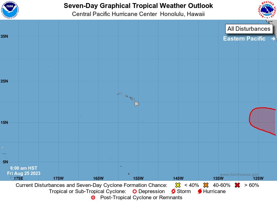
For the central North Pacific...between 140W and 180W:
The National Hurricane Center in Miami, Florida is monitoring an
area of low pressure (EP92) located about 2700 miles east of the
main Hawaiian Islands. Showers and thunderstorms are gradually
becoming better organized in association with this low.
Environmental conditions are conducive for additional development. A
tropical depression is expected to form during the next few days
while it moves west-northwestward at 10 to 15 mph. This system could
move into the Central Pacific Hurricane Center area of
responsibility around the middle of next week.
Elsewhere, no tropical cyclones are expected during the next 7 days.
$$
Forecaster TS
NNNN