ZCZC HFOTWOCP ALL
TTAA00 PHFO DDHHMM
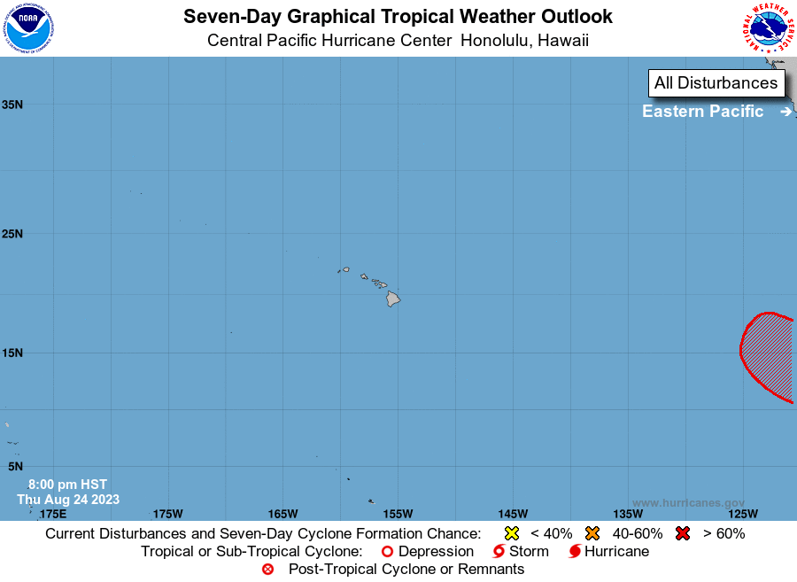
Tropical Weather Outlook
NWS Central Pacific Hurricane Center Honolulu HI
800 PM HST Thu Aug 24 2023
For the central North Pacific...between 140W and 180W:
The National Hurricane Center in Miami, Florida is monitoring an
area of low pressure (EP92) located well south of the southern tip
of the Baja California Peninsula, 2600 miles east of the main
Hawaiian Islands, that is gradually becoming better defined. The
system continues to produce some showers and thunderstorms, and
environmental conditions are expected to become more favorable for
additional development of this system during the next day or so. A
tropical depression is likely to form during the next couple of days
while it moves west-northwestward at 10 to 15 mph. This system
could move into the Central Pacific Hurricane Center area of
responsibility during the middle of next week.
Elsewhere, no tropical cyclones are expected during the next 7 days.
$$
Forecaster Shigesato
NNNN