ZCZC HFOTWOCP ALL
TTAA00 PHFO DDHHMM
Tropical Weather Outlook
NWS Central Pacific Hurricane Center Honolulu HI
200 AM HST Sun Aug 6 2023
For the central North Pacific...between 140W and 180W:
Active Systems:
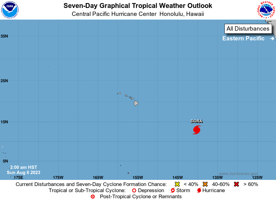
The National Hurricane Center in Miami, Florida is issuing
advisories on Hurricane Dora, located about 1200 miles east
southeast of Hilo, Hawaii. Dora is expected to move into the
Central Pacific Hurricane Center's area of responsibility on
Sunday, as it passes well south of the Hawaiian Islands from Monday
afternoon through Wednesday morning on a high confidence westward
track.
Elsewhere, no tropical cyclones are expected during the next 7 days.
Public Advisories on Hurricane Dora are issued under WMO header
WTPZ35 KNHC and under AWIPS header MIATCPEP5.
Forecast Advisories on Hurricane Dora are issued under WMO
header WTPZ25 KNHC and under AWIPS header MIATCMEP5.
$$
Forecaster Bohlin
NNNN