ZCZC HFOTWOCP ALL
TTAA00 PHFO DDHHMM
Tropical Weather Outlook
NWS Central Pacific Hurricane Center Honolulu HI
800 PM HST Wed Aug 2 2023
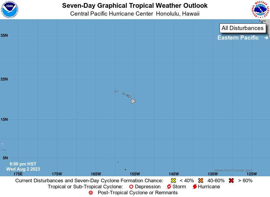
For the central North Pacific...between 140W and 180W:
Active Systems:
The National Hurricane Center in Miami, Florida is issuing
advisories on Hurricane Dora, located several hundred miles
southwest of the southern Baja coast of Mexico and about 2500 miles
east southeast of Hilo, Hawaii. Dora is expected to move west at
around 15 mph and enter the Central Pacific Hurricane Center's area
of responsibility late this weekend.
Elsewhere, no tropical cyclones are expected during the next 7 days.
Public Advisories on Hurricane Dora are issued under WMO header
WTPZ35 KNHC and under AWIPS header MIATCPEP5.
Forecast Advisories on Hurricane Dora are issued under WMO
header WTPZ25 KNHC and under AWIPS header MIATCMEP5.
$$
Forecaster TS
NNNN