ZCZC HFOTWOCP ALL
TTAA00 PHFO DDHHMM
Tropical Weather Outlook
NWS Central Pacific Hurricane Center Honolulu HI
800 PM HST Sun Jul 30 2023
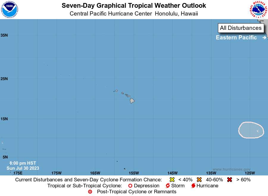
For the central North Pacific...between 140W and 180W:
The National Hurricane Center in Miami, Florida is monitoring an
area of low pressure (Invest EP96) located offshore of southern
Mexico (east of 118W). Showers and thunderstorms continue to show
signs of organization in association with this system. Although
recent satellite wind data indicates that the system still does not
have a well-defined center, environmental conditions appear
favorable for development, and a tropical depression is likely to
form within a day or two while the system moves generally
westward near 15 mph. This system could move into the Central
Pacific Hurricane Center area of responsibility late next weekend.
Elsewhere, no tropical cyclones are expected during the next 7 days.
$$
Forecaster M Ballard
NNNN